Braemar Road to Landslip Creek
WalkCanterbury
- Grade
- Advanced
- Walking time
- 3 hr
- Distance
- 10 km
- Biking time
- 2 hr
- Dogs
- No dogs
Access: read before you go
This track crosses private land. There is no camping until the conservation area boundary. Respect the landowner's livestock and property: Stay on the marked track until you reach the conservation land Leave gates as you find them Use stiles where provided Keep your distance from livestock.
You need permission from the Makarora River Ranch to take your dog into Hāwea Conservation Park using Boundary Creek Track. Email makaroraranch@gmail.com at least 24 hours in advance of your visit to request permission. You must provide a valid worming certificate to ensure your dog is free from hydatids and sheep measles.
Source: DOC Te Papa Atawhai.
Getting there
We have not checked a road end or car park for this place yet, so we do not give driving directions to it. Check how to get there before you go. Some routes cross private land and need the landowner's permission.
How to get there, on doc.govt.nzFollow SH 8 north of Twizel for 18 km. Turn into Hayman Road at the bottom of Lake Pukaki, then into Braemar Road. Look out for the DOC sign for the car parking area.
Source: DOC Te Papa Atawhai.
Map
Map data © OpenStreetMap contributors. Topo map: LINZ, CC BY 4.0. 43.92585° S, 170.24464° E
About this place
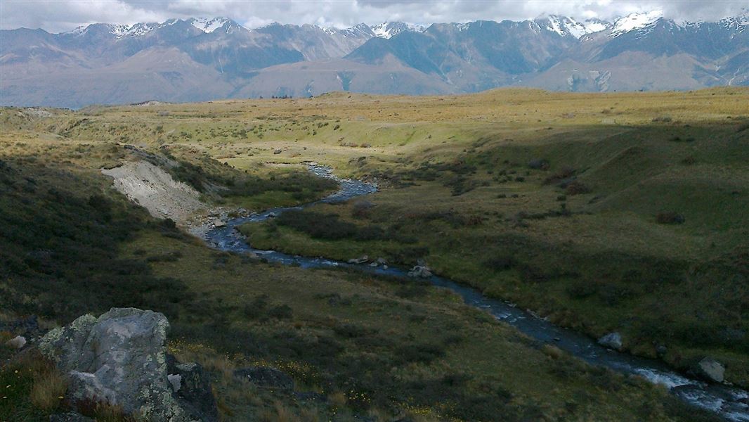
A public access easement leads to Landslip Creek above Lake Pukaki.
The route
This is a marked public access easment through private farmland. The public conservation land starts at Landslip Creek. From there, there is a marked route uphill to Braemar Dome under Mt Stevenson. The track is good for easy ski-touring in winter. A ski-tourer on the public access easement to Landslip Creek
Mountain biking
The public access easement runs along the top of what is an ancient glacial terrace. This makes for enjoyable and easy riding. Ride in and return the same way. This is a shared-use track. Follow the mountain bikers code : respect others, respect the rules, respect the track. A mountain biker returns from Landslip Creek
Source: DOC Te Papa Atawhai.
Know before you go
Private property and permissions
This track crosses private land. There is no camping until the conservation area boundary. Respect the landowner's livestock and property: Stay on the marked track until you reach the conservation land Leave gates as you find them Use stiles where provided Keep your distance from livestock.
Dogs
You need permission from the Makarora River Ranch to take your dog into Hāwea Conservation Park using Boundary Creek Track. Email makaroraranch@gmail.com at least 24 hours in advance of your visit to request permission. You must provide a valid worming certificate to ensure your dog is free from hydatids and sheep measles.
Source: DOC Te Papa Atawhai.
Nearby stops
Maryburn Hut
Canterbury • 2.2 km
Maryburn Hut is a backcountry hut located in the Canterbury region of New Zealand. It serves as a shelter for hikers and trappers in the area.
Hilltop
Canterbury • 7.1 km
Hilltop is a hut located in the Canterbury region. The available records provide no further details regarding its specific facilities or features.
Jollie Hut
Basic/bivvies • 5 bunks • Canterbury • 8.9 km
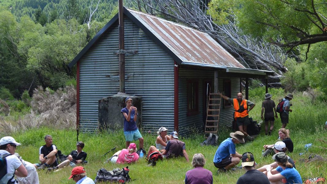
Jollie Hut is a Department of Conservation hut located in the Gamack Conservation Area near Lake Pukaki in Canterbury.
Heating • Mattresses • Toilets - non-flush
Telegraph Hut
Canterbury • 8.9 km
Glentanner Holiday Park
Canterbury • 9.8 km
Glentanner Holiday Park is a campsite located in the Canterbury region. The provided records do not include specific details regarding available facilities or…
Notes from people who have been
No notes yet. If you have been, say what you found.
Something missing or out of date?
Closed, moved, wrong facts, or something we have missed? Travellers keep the Road Guide up to date. Tell us what you found at contribute@parkup.nz and we will check it and add it.
Ask us to take this down
A person reads every request. We do not remove a place until we have checked it.
Sources
- DOC Tracks (API) · CC BY 4.0Crown Copyright: Department of Conservation Te Papa Atawhai. Data sourced from the DOC Developer Portal (api.doc.govt.nz).