Huxley valley tracks
WalkCanterbury
- Grade
- Advanced
- Walking time
- 9 hr
- Distance
- 23 km
Access: read before you go
Park your car at the Ram Hill carpark at the road end, or if you have a 4WD vehicle carry on to Monument Hut.
Source: DOC Te Papa Atawhai.
Getting there
We have not checked a road end or car park for this place yet, so we do not give driving directions to it. Check how to get there before you go. Some routes cross private land and need the landowner's permission.
How to get there, on doc.govt.nzHuxley valley branches off Hopkins valley which is at the end of Lake Ohau Road, 60 km from Twizel. Follow SH 6 from Twizel, then turn into Lake Ohau Road.
The sealed road changes to gravel after passing Lake Ohau Lodge. Drive carefully and watch out for stock grazing beside the road. As a courtesy, drive slowly past Lake Ohau Station buildings to reduce dust.
Park your car at the Ram Hill carpark at the road end, or if you have a 4WD vehicle carry on to Monument Hut.
Source: DOC Te Papa Atawhai.
Map and tracks
Track lines: DOC Te Papa Atawhai. Map data © OpenStreetMap contributors. Topo map: LINZ, CC BY 4.0. 44.00588° S, 169.75519° E
About this place
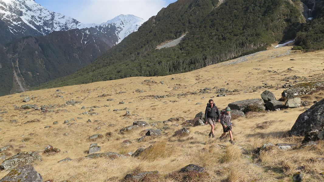
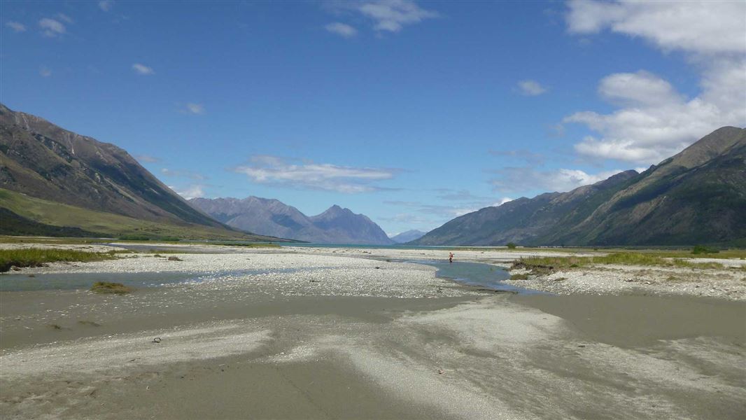
The Huxley valley branches off Hopkins valley in Ruataniwha Conservation Park.
The route
Ram Hill carpark to Huxley Forks Hut
Time: 6 hr
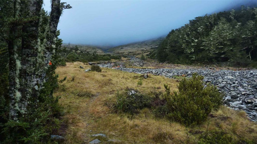
km If you have a 4WD you can drive to the conservation park boundary just south of Monument Hut. Otherwise walk 2 - 3 hours from the Ram Hill carpark to Monument Hut. From Monument Hut it is 3 hours to Huxley Forks Hut. There are tracks in the beech forest and a swing bridge if river levels are high. Otherwise it's quicker to walk in the Huxley River bed to reach the hut on the true left of the valley. Officers Hut is a basic hut that is 20 m from Huxley Forks Hut.
Huxley Forks Hut to Brodrick Hut
Time: 3 hr
4.5 km There have been a few natural slips in the North Huxley valley over the years, which means it takes slightly longer to reach Brodrick Hut. If river levels are low then the fastest travel is in the riverbed itself. From Brodrick Hut trampers may elect to climb over Brodrick Pass (1630 m) into the Landsborough valley.
Huxley Forks Hut to South Huxley Biv
Time: 3 hr
km Follow the marked route to South Huxley Biv, which is a very small hut.
Source: DOC Te Papa Atawhai.
Know before you go
Stay safe when crossing rivers and streams
If you plan to cross unbridged rivers or side streams, know how to cross safely and be prepared for if you cannot cross. Do not cross if the river or stream is flooded, you cannot find safe entry and exit points or are unsure it’s safe. Turn back or wait for the river to drop. If in doubt, stay out. How to cross rivers safely NIWA river flow forecasts: View a video of national followed by regional river flows
Be avalanche alert
This area has terrain that can produce avalanches that cross the track, usually from May into November. View avalanche information .
Source: DOC Te Papa Atawhai.
Joins these tracks
Source: DOC Te Papa Atawhai.
On this track
In walking order.
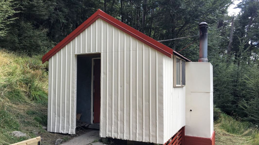
Monument Hut
Standard • 6 bunks • Canterbury
- Toilet
- Heating
- Water

Huxley Forks Hut
Standard • 8 bunks • Canterbury
- Toilet
- Heating
- Water

Officers Hut
Basic/bivvies • 3 bunks • Canterbury

Brodrick Hut
Standard • 6 bunks • Canterbury
- Toilet
- Heating
- Water
South Huxley Bivvy
2 bunks • Canterbury
- Toilet
- Heating
- Water
Nearby stops
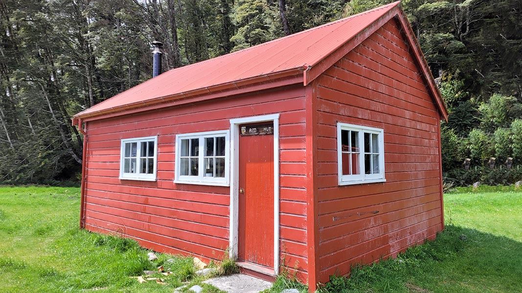
Red Hut
Standard • 12 bunks • Canterbury • 6.3 km
Red Hut is a historic hut located in Ruataniwha Conservation Park in Canterbury. It sits on a river fan of the Hopkins River, surrounded by beech forest.
Heating • Mattresses • Toilets - non-flush
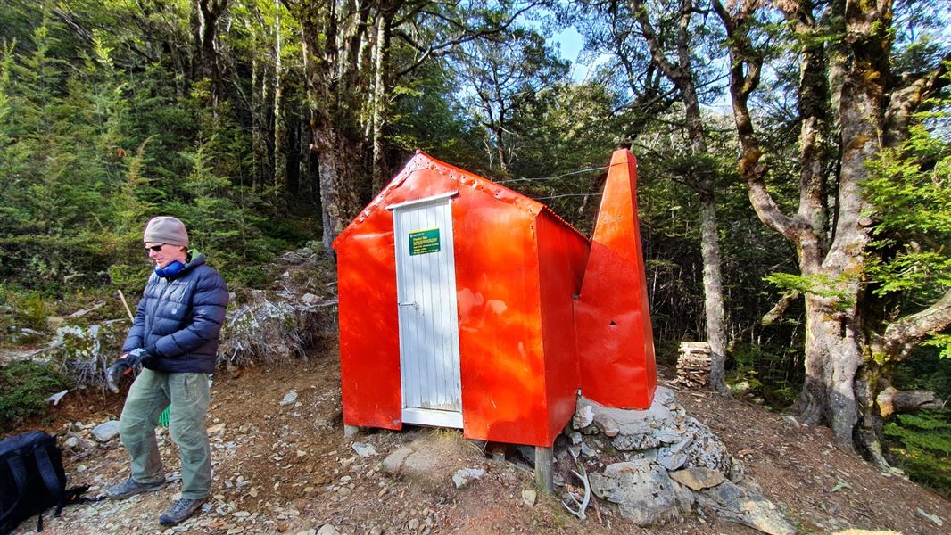
Dasler Biv
Basic/bivvies • 2 bunks • Canterbury • 9.1 km
Dasler Biv is a basic two-bunk hut located in Ruataniwha Conservation Park in Canterbury. Built in 1966 by the New Zealand Forest Service, it was originally…
Heating • Mattresses • Toilets - non-flush
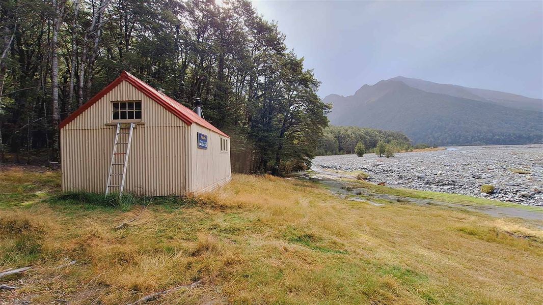
Elcho Hut
Standard • 12 bunks • Canterbury • 10.2 km
Elcho Hut is a standard 12-bunk hut located in Ruataniwha Conservation Park in Canterbury.
Heating • Mattresses • Toilets - non-flush

Creswicke Flat Hut
Basic/bivvies • 4 bunks • West Coast • 10.6 km
Creswicke Flat Hut is a basic four-bunk hut located in the South Westland area of the West Coast.
Heating • Mattresses • Toilets - non-flush
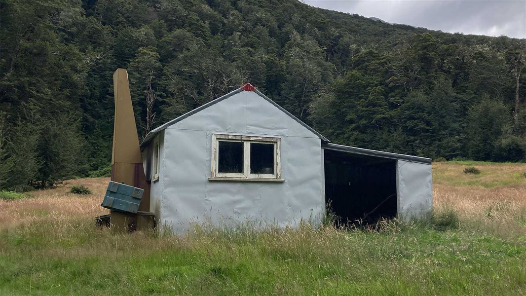
Cullers Hut
Standard • 4 bunks • Canterbury • 11.4 km
Cullers Hut is a standard four-bunk hut located in the Ruataniwha Conservation Park in Canterbury.
Heating • Mattresses • Toilets - non-flush
Walks nearby
Notes from people who have been
No notes yet. If you have been, say what you found.
Something missing or out of date?
Closed, moved, wrong facts, or something we have missed? Travellers keep the Road Guide up to date. Tell us what you found at contribute@parkup.nz and we will check it and add it.
Ask us to take this down
A person reads every request. We do not remove a place until we have checked it.
Sources
- DOC Tracks (API) · CC BY 4.0Crown Copyright: Department of Conservation Te Papa Atawhai. Data sourced from the DOC Developer Portal (api.doc.govt.nz).