Huxley Forks Hut
Standard hutRuataniwha Conservation Park, CanterburyOpen
- Sleeps
- 8 bunks
- Booking
- Not bookable
- Cost
- from $15
- Heating
- Yes
- Drinking water
- Boil first
- Toilet
- Non-flush
Getting there
We have not checked a road end or car park for this place yet, so we do not give driving directions to it. Check how to get there before you go. Some routes cross private land and need the landowner's permission.
How to get there, on doc.govt.nzHuxley Forks Hut is 6 hours (18 km) up the Huxley valley, off Hopkins valley at the end of Lake Ohau Road.
Officers Hut is nearby. It is 20 m from Huxley Forks Hut.
- Topo map
- Topo50 sheet BY14
Source: DOC Te Papa Atawhai.
Map and tracks
Track lines: DOC Te Papa Atawhai. Map data © OpenStreetMap contributors. Topo map: LINZ, CC BY 4.0. 44.00764° S, 169.74326° E
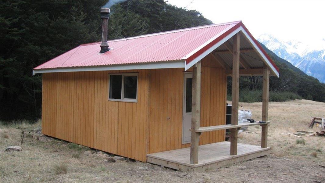
About this place
This is a standard eight-bunk hut in Ruataniwha Conservation Park.
On the way here
Huxley valley tracks · Up to 9 hr one way
Ram Hill carpark to Huxley Forks Hut
Time: 6 hr
km If you have a 4WD you can drive to the conservation park boundary just south of Monument Hut. Otherwise walk 2 - 3 hours from the Ram Hill carpark to Monument Hut. From Monument Hut it is 3 hours to Huxley Forks Hut. There are tracks in the beech forest and a swing bridge if river levels are high. Otherwise it's quicker to walk in the Huxley River bed to reach the hut on the true left of the valley. Officers Hut is a basic hut that is 20 m from Huxley Forks Hut.
Huxley Forks Hut to Brodrick Hut
Time: 3 hr
4.5 km There have been a few natural slips in the North Huxley valley over the years, which means it takes slightly longer to reach Brodrick Hut. If river levels are low then the fastest travel is in the riverbed itself. From Brodrick Hut trampers may elect to climb over Brodrick Pass (1630 m) into the Landsborough valley.
Huxley Forks Hut to South Huxley Biv
Time: 3 hr
km Follow the marked route to South Huxley Biv, which is a very small hut.
Source: DOC Te Papa Atawhai.
Know before you go
Weather forecast
Huxley Forks Hut weather forecast – NIWA website
Source: DOC Te Papa Atawhai.
Fees and bookings
Before you go, buy Hut Tickets for each night's stay. Or buy a Backcountry Hut Pass that gives unlimited use at most Standard and Serviced huts for a 12 month period. Retailers that sell hut tickets and passes
Source: DOC Te Papa Atawhai.
On these tracks
Source: DOC Te Papa Atawhai.
Nearby stops

Brodrick Hut
Standard • 6 bunks • Canterbury • 3.8 km
Brodrick Hut is a standard six-bunk hut located in Ruataniwha Conservation Park in Canterbury.
Heating • Mattresses • Toilets - non-flush
South Huxley Bivvy
2 bunks • Canterbury • 4.4 km
South Huxley Bivvy is a basic hut located in the Canterbury region. It provides simple shelter for hikers and is listed in both Department of Conservation and…
Heating • Mattresses • Toilets - non-flush
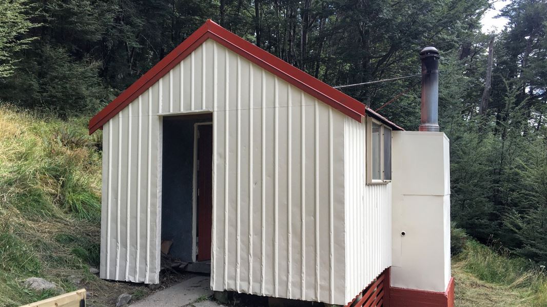
Monument Hut
Standard • 6 bunks • Canterbury • 5.8 km
Monument Hut is a standard six-bunk hut located in the Ruataniwha Conservation Park in Canterbury.
Heating • Mattresses • Toilets - non-flush

Officers Hut
Basic/bivvies • 3 bunks • Canterbury • 0 km
Officers Hut is a basic three-bunk hut located in the Ruataniwha Conservation Park in Canterbury. It sits next to Huxley Forks Hut.
Walks nearby
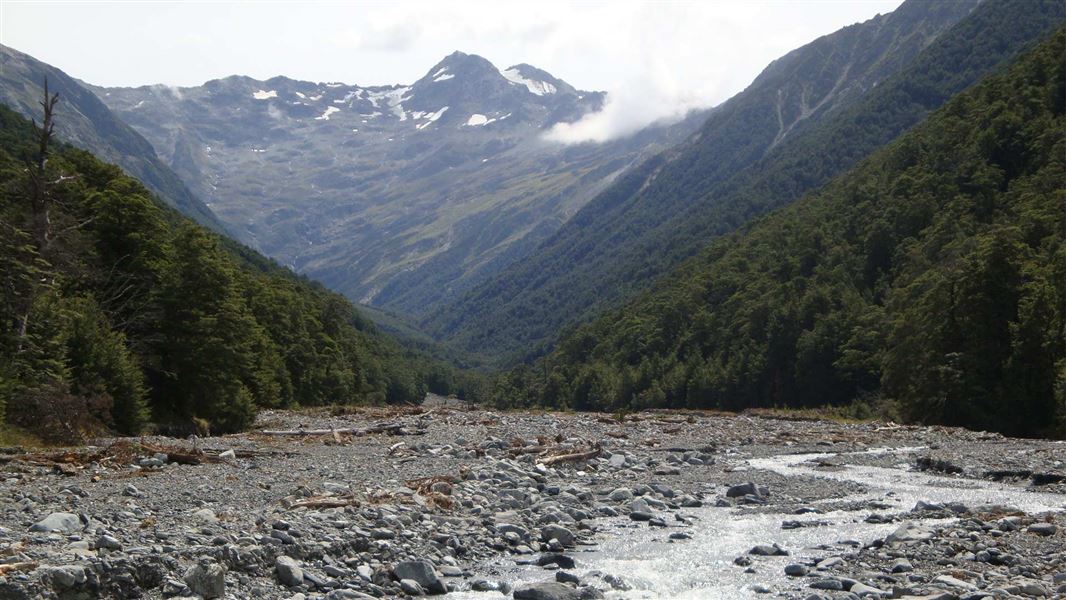
North Temple Track
Advanced • 5 - 6 hr • 10 km • 9.93 km away

Hopkins valley tracks
Intermediate • 7 - 11 hr 30 min hr one way • 21 - 35 km • 11.56 km away
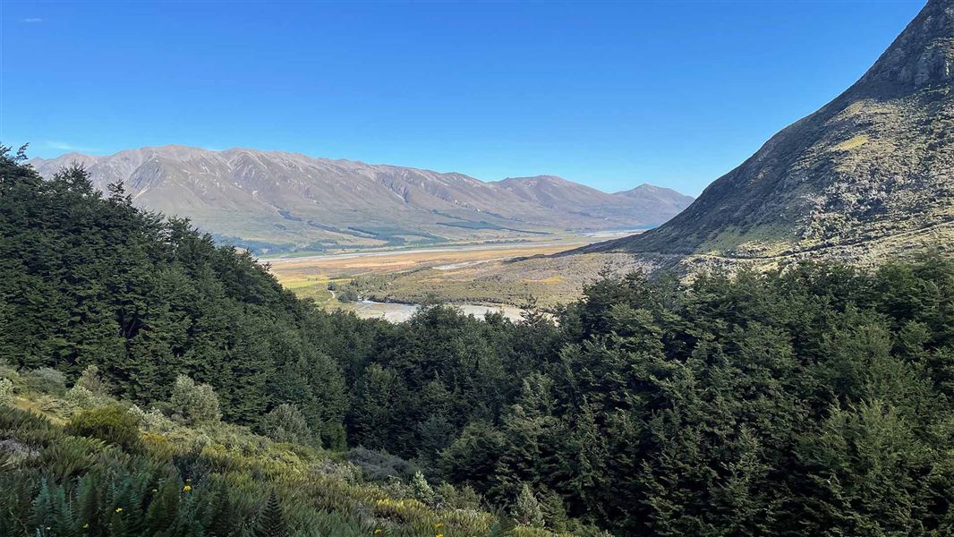
Temple Viewpoint Track
Advanced • 1 hr • 2 km • 12.32 km away
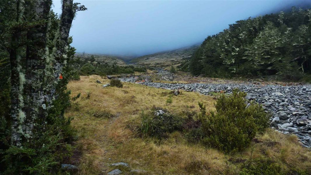
South Temple Track
Advanced • 6 - 8 hr • 15 km • 13.85 km away
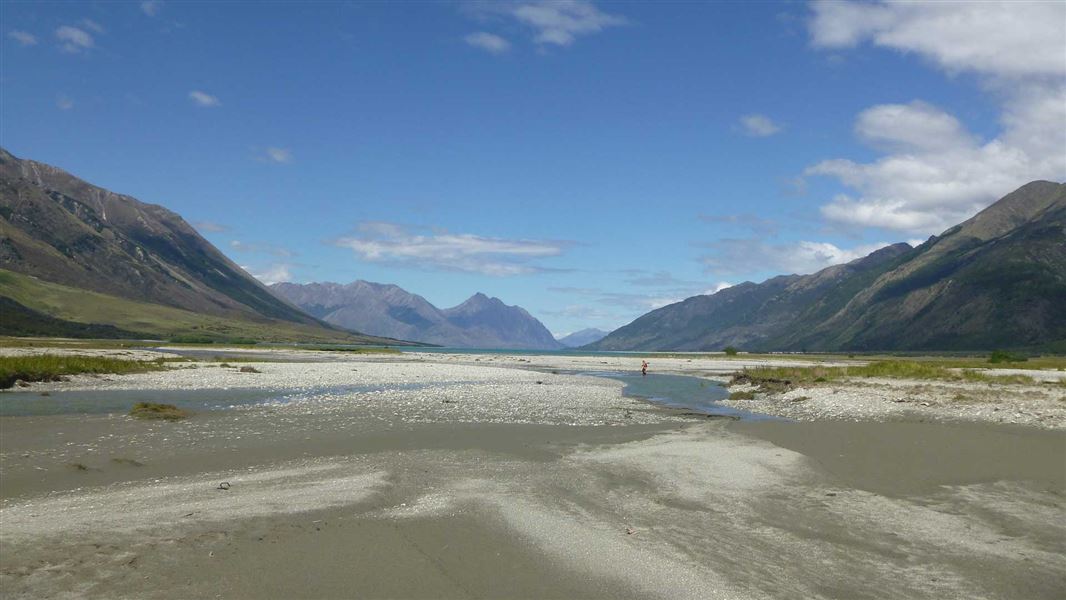
Hunter Valley tracks
Advanced • 13.9 km away
Contact
Aoraki/Mount Cook National Park Visitor Centre
1 Larch Grove, Aoraki/Mount Cook 7999
Regional DOC service centre.
Notes from people who have been
No notes yet. If you have been, say what you found.
Something missing or out of date?
Closed, moved, wrong facts, or something we have missed? Travellers keep the Road Guide up to date. Tell us what you found at contribute@parkup.nz and we will check it and add it.
Ask us to take this down
A person reads every request. We do not remove a place until we have checked it.
Sources
- DOC Huts (API) · CC BY 4.0Crown Copyright: Department of Conservation Te Papa Atawhai. Data sourced from the DOC Developer Portal (api.doc.govt.nz).
- OpenStreetMap Huts · ODbL (Open Database License)Contains information from OpenStreetMap, made available under the ODbL.
- DOC Huts · CC BY 4.0Data sourced from the Department of Conservation (DOC), New Zealand.