Hinerua Hut
Standard hutRuahine Forest Park, Hawke's BayOpen
- Sleeps
- 4 bunks
- Booking
- Not bookable
- Cost
- from $15
- Heating
- Yes
- Drinking water
- Boil first
- Toilet
- Non-flush
Getting there
We have not checked a road end or car park for this place yet, so we do not give driving directions to it. Check how to get there before you go. Some routes cross private land and need the landowner's permission.
How to get there, on doc.govt.nzHinerua Hut can be accessed via North Block Road or Mill Road.
North Block Road: Route to Hinerua Hut via North Block Road. Time: 6 hrs one wayDistance: 8 km
From State Highway 50 turn towards the ranges onto Wakarara Road. After 20 km, turn left into North Block Road and continue to the road end carpark.
The last 4 km of this road is through private farmland; please don’t disturb stock and leave gates as you found them.
Follow the Waipawa River to Smiths Stream Hut track to Smiths Stream Hut.From Smiths Stream Hut, follow the river to the start of the Hinerua River to Smiths Stream track. Follow the Hinerua River to Smiths Stream track to Hinerua Hut.
This route involves river travel. It’s dangerous to cross or follow the river when the water level is high which can occur during or after heavy rain.
Mill Road:
From State Highway 50 turn onto Makaretu Road, then onto Mill Road. Mill Road becomes gravel after 7 km. Continue to the end of Mill Road and park at the DOC shelter.
Follow the poled route over the unformed legal road to the Tukituki River. Travel up the river to the forest park boundary. Travel off-track within the forest park to Hinerua Hut or to a DOC track that leads to Hinerua Hut.
From Mill Road do not leave the river or unformed legal road until you reach the forest park boundary. Travel via private property is not permitted. Property boundaries are not clearly indicated onsite so please take mapping tools to enable you to monitor that you are travelling via public accessways.
There is no DOC track that runs from Mill Road to Hinerua Hut.
River travel is required. It’s dangerous to cross or follow the river when the water level is high which can occur during or after heavy rain.
- Topo map
- Topo50 sheet BL36
- Grid reference
- E1871100, N5582727
Source: DOC Te Papa Atawhai.
Map
Map data © OpenStreetMap contributors. Topo map: LINZ, CC BY 4.0. 39.86178° S, 176.16962° E
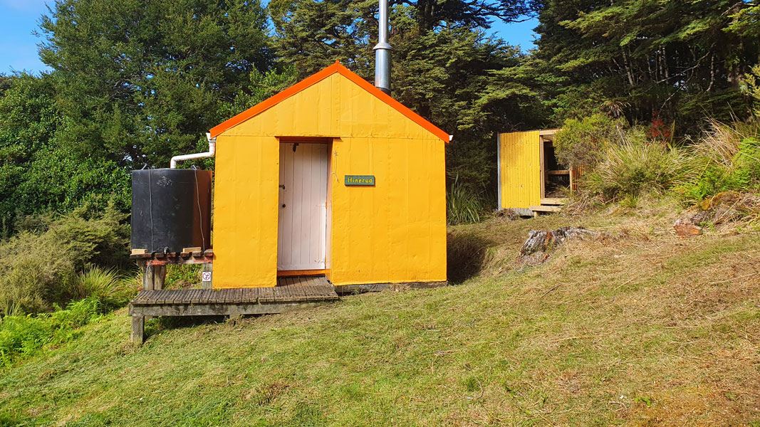
About this place
This is a standard four-bunk hut in the Hawke's Bay region.
Fees and bookings
Before you go, buy Hut Tickets for each night's stay. Put these in the honesty box at the hut. Or buy a Backcountry Hut Pass that gives unlimited use at most Standard and Serviced huts for a 12 month period. Retailers that sell hut tickets and passes
Source: DOC Te Papa Atawhai.
Nearby stops

Smiths Stream Hut
Standard • 4 bunks • Hawke's Bay • 1.4 km
Smiths Stream Hut is a standard four-bunk hut located in the Hawke's Bay region.
Heating • Mattresses • Toilets - non-flush
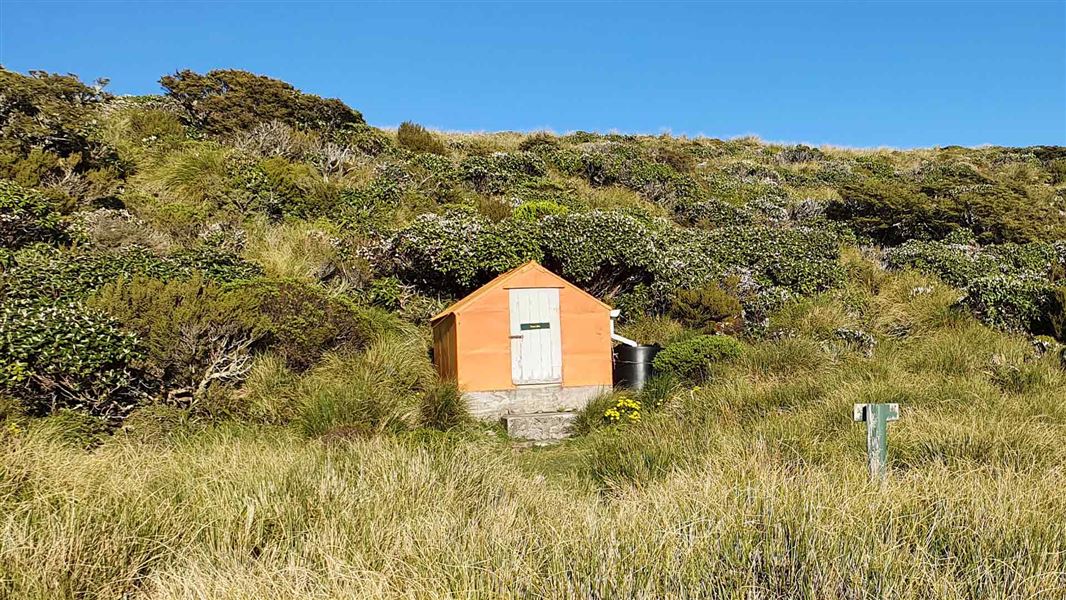
Tarn Bivvy
Basic/bivvies • 2 bunks • Hawke's Bay • 3.3 km
Tarn Bivvy is a basic two-bunk hut located in the Hawke's Bay region.
Mattresses • Toilets - non-flush • Water from tap - not treated, boil before use

Howletts Hut
Standard • 8 bunks • Hawke's Bay • 6 km
Howletts Hut is a standard eight-bunk hut located in the Hawke's Bay region.
Mattresses • Toilets - non-flush • Water from tap - not treated, boil before use
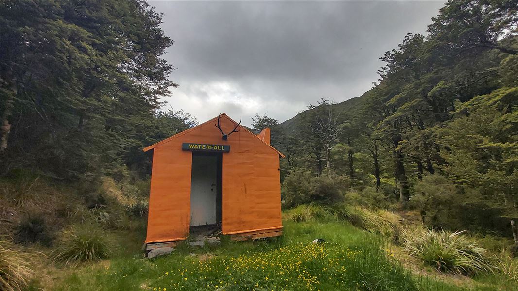
Waterfall Hut
Standard • 6 bunks • Manawatū-Whanganui • 6 km
Waterfall Hut is a standard six-bunk hut located in the Manawatu region.
Heating • Mattresses • Toilets - non-flush

Daphne Hut
Standard • 12 bunks • Hawke's Bay • 6.1 km
Daphne Hut is a standard 12-bunk hut located in the Hawke's Bay region.
Heating • Mattresses • Toilets - non-flush
Walks nearby
Smiths Stream Hut track
Advanced • 4 hr one way • 6 km • 3.22 km away
Swamp Track
Easy • 1 hr • 1.9 km • 7.4 km away
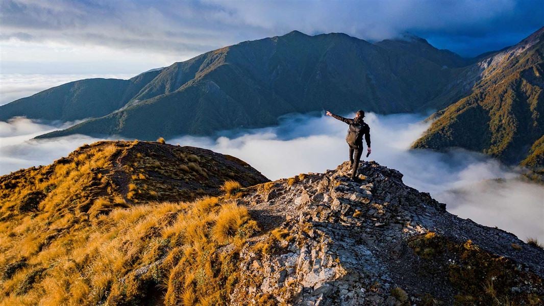
Sunrise Track
Easy • 2-3 hr one way • 6.4 km • 7.84 km away
Kashmir Road tramping tracks
Advanced • 1 hr 30 min – 4 hr • 8.47 km away
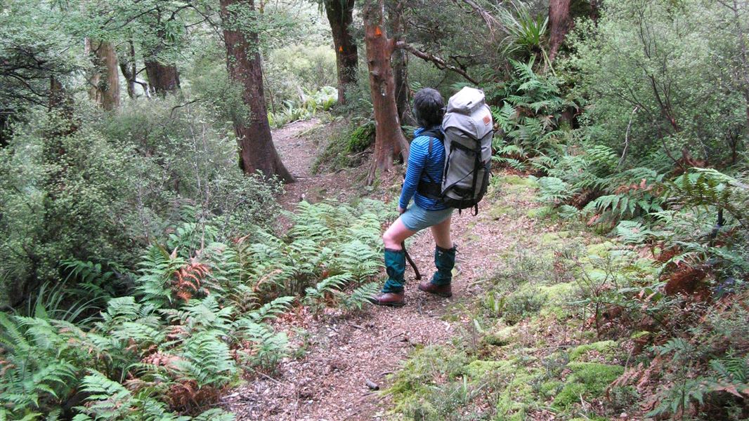
Kelly Knight Hut Track
Advanced • 2 hr 30 min - 3 hr 30 min • 10.75 km away
Contact
DOC Customer Service Centre
Regional DOC service centre.
Something missing or out of date?
Closed, moved, wrong facts, or something we have missed? Travellers keep the Road Guide up to date. Tell us what you found at contribute@parkup.nz and we will check it and add it.
Ask us to take this down
A person reads every request. We do not remove a place until we have checked it.
Sources
- DOC Huts · CC BY 4.0Data sourced from the Department of Conservation (DOC), New Zealand.
- OpenStreetMap Huts · ODbL (Open Database License)Contains information from OpenStreetMap, made available under the ODbL.
- DOC Huts (API) · CC BY 4.0Crown Copyright: Department of Conservation Te Papa Atawhai. Data sourced from the DOC Developer Portal (api.doc.govt.nz).