George Sound Route
WalkSouthland
- Grade
- Expert
- Walking time
- 4 days
- Distance
- 17.8 km
- Dogs
- No dogs
Getting there
We have not checked a road end or car park for this place yet, so we do not give driving directions to it. Check how to get there before you go. Some routes cross private land and need the landowner's permission.
How to get there, on doc.govt.nzA boat operator takes groups to or from the track end on the Middle Fiord of Lake Te Anau and also provide boat transport on Lake Hankinson. George Sound is accessible by boat, float plane and helicopter.
Source: DOC Te Papa Atawhai.
Map
Map data © OpenStreetMap contributors. Topo map: LINZ, CC BY 4.0. 45.04180° S, 167.54767° E
About this place
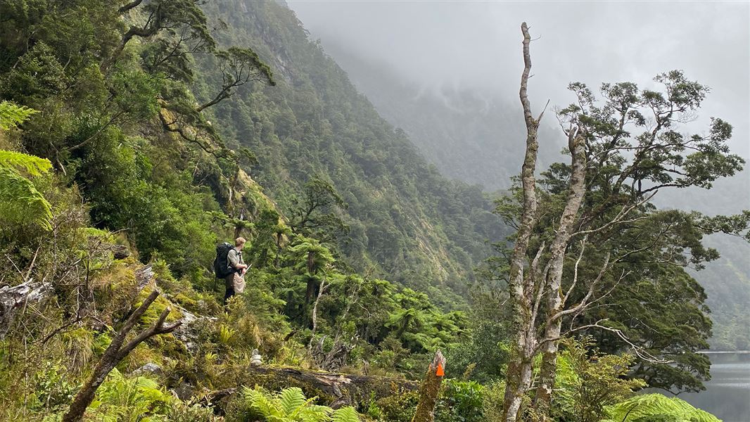
This very challenging tramping route goes from Lake Te Anau across to George Sound, Fiordland.
The route
This is a challenging but rewarding tramping route that links stunning Lake Hankinson, Lake Thomson and Lake Katherine with Lake Te Anau on the inland side, and George Sound on the coast. The route traverses two major valley systems and crosses one mountain range (rising up to 900 metres). The area is rich in history and offers great kayaking and fishing opportunities. The George Sound Route requires transport across Lake Te Anau and is only recommended for experienced, well equipped groups (see 'Know before you go' below). Route times are given as a guide only and may vary depending on fitness and weather conditions.
Middle Fiord to Hankinson Hut
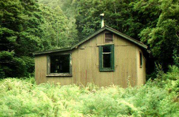
The track from the Middle Fiord of Lake Te Anau to Lake Hankinson is signposted from the beach and takes 15 minutes. It is not possible to walk around Lake Hankinson so boat travel (20 minutes) across the lake is required. Kayaks can be carried along the track to the lake or boat transport may be arranged with a local operator. The lake is 4.5 km long and can be affected by strong winds. Take care as there are few beaches on which to land. Hankinson Hut (11 bunks) is a five minute walk from the head of the lake.
Hankinson Hut to Thomson Hut, 2 hr 30 min
It is five minutes from the hut to the first three-wire crossing; then one hour to the second three-wire crossing. Watch for the sign pointing to the crossing. From the second crossing the route follows around the north side of Lake Thomson to its head, taking about one hour. Tramping from the head of the lake to the Wapiti River flats and to the Thomson Hut (8 bunks) takes half an hour. Lake Hankinson and the Wapiti River provide opportunities for trout fishing.
Thomson Hut to George Sound Hut, 10.5 hrs
Times will vary on this section of the route depending on fitness, weather conditions and route-finding abilities. We recommend you carry a tent – there are suitable tent sites on the east side of Henry Pass. From Thomson Hut the route continues up the valley, past the markers showing the route to the mica mine, to Henry Pass (830 m), taking around 4 and a half hours. The route around Deadwood Lagoon is very boggy and can be flooded after heavy rain. From Henry Pass the route drops steeply to the valley floor, then follows Katherine Creek to Lake Katherine, taking around four hours. Katherine Creek is un-bridged and can be impassable after rain. It is necessary to wade into the lake in one place. Safety chains are provided in some areas around Lake Katherine. The route from Lake Katherine to George Sound Hut (6 bunks) takes between 1 and 2 hours. There are a lot of creek crossings. George Sound offers good fishing from the rocks at various places. Mussels can be also gathered at low tide.
Source: DOC Te Papa Atawhai.
On this track
In walking order.
Nearby stops
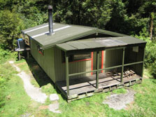
Glaisnock Hut
Standard • 12 bunks • Southland • 12.7 km
Glaisnock Hut is a standard 12-bunk hut located in western Fiordland.
Heating • Mattresses • Toilets - non-flush
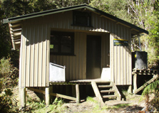
Junction Burn Hut
Standard • 12 bunks • Southland • 12.8 km
Junction Burn Hut is a standard 12-bunk hut located in western Fiordland.
Heating • Mattresses • Toilets - non-flush
Notes from people who have been
No notes yet. If you have been, say what you found.
Something missing or out of date?
Closed, moved, wrong facts, or something we have missed? Travellers keep the Road Guide up to date. Tell us what you found at contribute@parkup.nz and we will check it and add it.
Ask us to take this down
A person reads every request. We do not remove a place until we have checked it.
Sources
- DOC Tracks (API) · CC BY 4.0Crown Copyright: Department of Conservation Te Papa Atawhai. Data sourced from the DOC Developer Portal (api.doc.govt.nz).