George Sound Hut
Standard hutFiordland National Park, SouthlandOpen
- Sleeps
- 8 bunks
- Booking
- Not bookable
- Cost
- from $15
- Heating
- Yes
- Drinking water
- Boil first
- Toilet
- Non-flush
Getting there
We have not checked a road end or car park for this place yet, so we do not give driving directions to it. Check how to get there before you go. Some routes cross private land and need the landowner's permission.
How to get there, on doc.govt.nz- Topo map
- Topo50 sheet CC07
Source: DOC Te Papa Atawhai.
Map and tracks
Track lines: DOC Te Papa Atawhai. Map data © OpenStreetMap contributors. Topo map: LINZ, CC BY 4.0. 44.98370° S, 167.44052° E
About this place
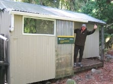
This is a standard eight-bunk hut in western Fiordland.
On the way here
George Sound Route · 3-4 days one way
Thomson Hut to George Sound Hut, 10.5 hrs
Times will vary on this section of the route depending on fitness, weather conditions and route-finding abilities. We recommend you carry a tent – there are suitable tent sites on the east side of Henry Pass. From Thomson Hut the route continues up the valley, past the markers showing the route to the mica mine, to Henry Pass (830 m), taking around 4 and a half hours. The route around Deadwood Lagoon is very boggy and can be flooded after heavy rain. From Henry Pass the route drops steeply to the valley floor, then follows Katherine Creek to Lake Katherine, taking around four hours. Katherine Creek is un-bridged and can be impassable after rain. It is necessary to wade into the lake in one place. Safety chains are provided in some areas around Lake Katherine. The route from Lake Katherine to George Sound Hut (6 bunks) takes between 1 and 2 hours. There are a lot of creek crossings. George Sound offers good fishing from the rocks at various places. Mussels can be also gathered at low tide.
Source: DOC Te Papa Atawhai.
Know before you go
Requirements for taking a vessel into Fiordland Marine Area
The Fiordland Marine Pathway Plan protects the area from marine pests which can be carried in on boats. It sets out rules and standards that must be met by all vessels entering within one nautical mile of the landward boundary of the Fiordland Marine Area. If you take a vessel into Fiordland from outside the area you must: apply for a Clean Vessel Pass , and ensure that hulls are clean of marine pest species. The plan is an Environment Southland regulation. DOC has no authority below mean high tide except in marine reserves or concerning marine mammals – we do not enforce any fishing regulations. More information about the Fiordland Marine Pathway Plan . See the Fiordland by Sea: A guide to the Fiordland (Te Moana o Atawhenua) Marine Area - including maps, anchorages and fishing regulations.
Source: DOC Te Papa Atawhai.
Fees and bookings
Before you go, buy Hut Tickets for each night's stay. Put these in the honesty box at the hut. Or buy a Backcountry Hut Pass that gives unlimited use at most Standard and Serviced huts for a 12 month period. Retailers that sell hut tickets and passes
Source: DOC Te Papa Atawhai.
Nearby stops
Lake Thomson Hut
Standard • 8 bunks • Southland • 8.9 km
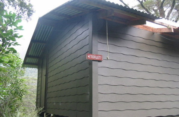
Lake Thomson Hut is a standard eight-bunk hut located in western Fiordland.
Heating • Mattresses • Toilets - non-flush
Lake Hankinson Hut
Standard • 11 bunks • Southland • 12 km
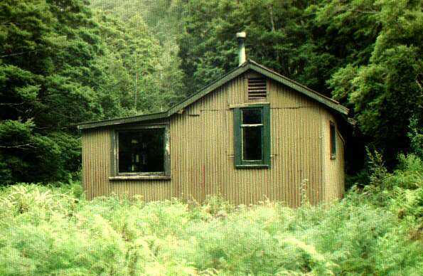
Lake Hankinson Hut is a standard 11-bunk hut located in western Fiordland, Southland.
Heating • Mattresses • Toilets - non-flush

Caswell Sound Hut
Basic/bivvies • 4 bunks • Southland • 12.6 km
Caswell Sound Hut is a basic four-bunk shelter located in western Fiordland. It is a historic site and the only physical feature remaining from the New…
Toilets - non-flush • Water from stream • Water supply
Contact
Te Rua-o-te-moko/Fiordland National Park Visitor Centre
1 Lakefront Drive, Te Anau 9600
Regional DOC service centre.
Notes from people who have been
No notes yet. If you have been, say what you found.
Something missing or out of date?
Closed, moved, wrong facts, or something we have missed? Travellers keep the Road Guide up to date. Tell us what you found at contribute@parkup.nz and we will check it and add it.
Ask us to take this down
A person reads every request. We do not remove a place until we have checked it.
Sources
- OpenStreetMap Huts · ODbL (Open Database License)Contains information from OpenStreetMap, made available under the ODbL.
- DOC Huts (API) · CC BY 4.0Crown Copyright: Department of Conservation Te Papa Atawhai. Data sourced from the DOC Developer Portal (api.doc.govt.nz).
- DOC Huts · CC BY 4.0Data sourced from the Department of Conservation (DOC), New Zealand.