Dump station, Belvedere Road
Dump stationWellington
Map
Map data © OpenStreetMap contributors. Topo map: LINZ, CC BY 4.0. 41.01849° S, 175.52300° E
Got a good photo of this place? Send it to us and we will show it with your name.
We only have the basics for this place so far: its name, its type and where it is.
Been here? Tell us what you found at contribute@parkup.nz and we will add it.
Nearby stops
Carterton Holiday Park
Wellington • 0.1 km
Greytown Campground
Wellington • 8.3 km
The Cliffs Reserve
Wellington • 11.1 km
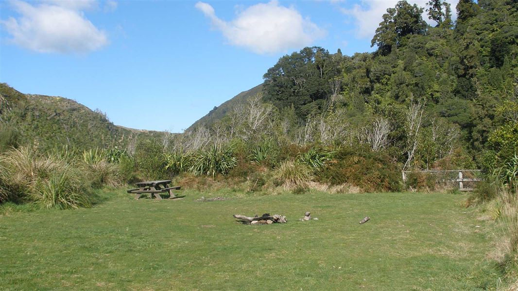
Waiohine Gorge Campsite
Standard • Wellington • 11.4 km
Waiohine Gorge Campsite is a secluded campsite located at the head of two gorges above the Waiohine River in the Wairarapa region. The area is popular for…
Non-powered/tent sites • Toilets - flush • Water from tap - not treated, boil before use

Holdsworth Campsite
Standard • Wellington • 12.9 km
Holdsworth Campsite is located at the eastern entrance of the park beneath the Tararua Ranges. The area offers opportunities for walks, fishing, and swimming,…
Fire pit/place for campfires (except in fire bans) • Non-powered/tent sites • Shelter for cooking
Walks nearby
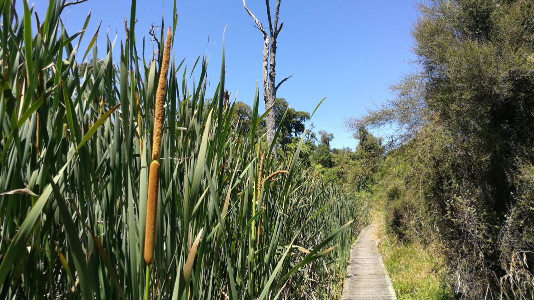
Kahikatea Walk
Easiest • 30 min • 1 km • 8.32 km away
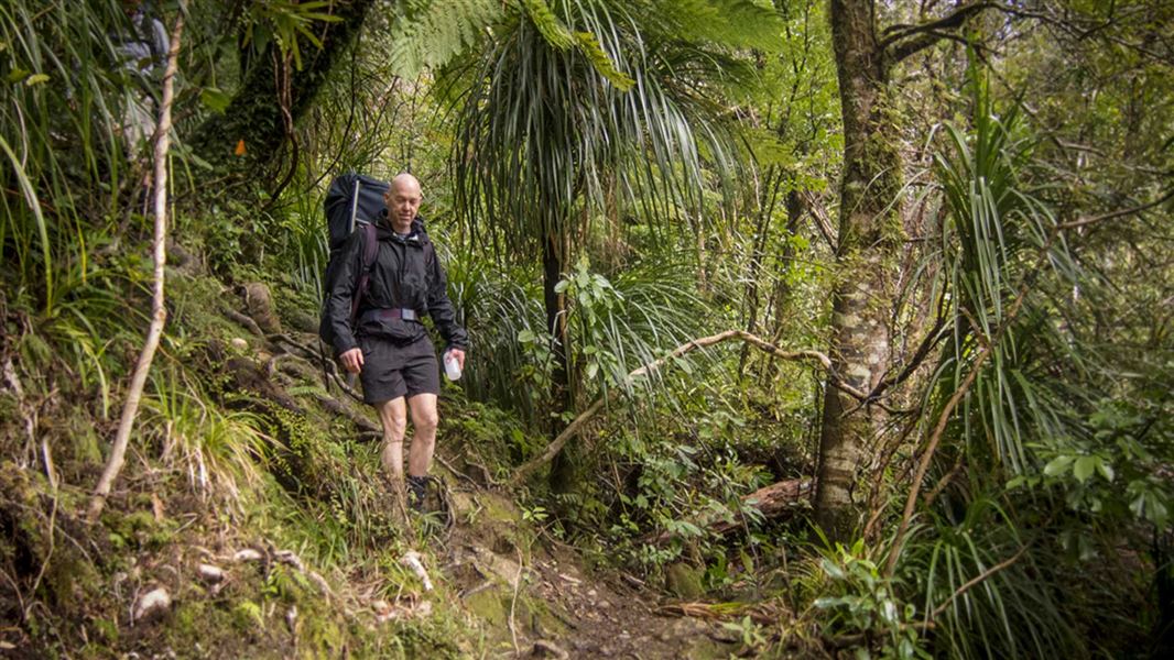
Lower Waiohine Track
Intermediate • 4 hr and 30 min • 8.7 km • 13.17 km away
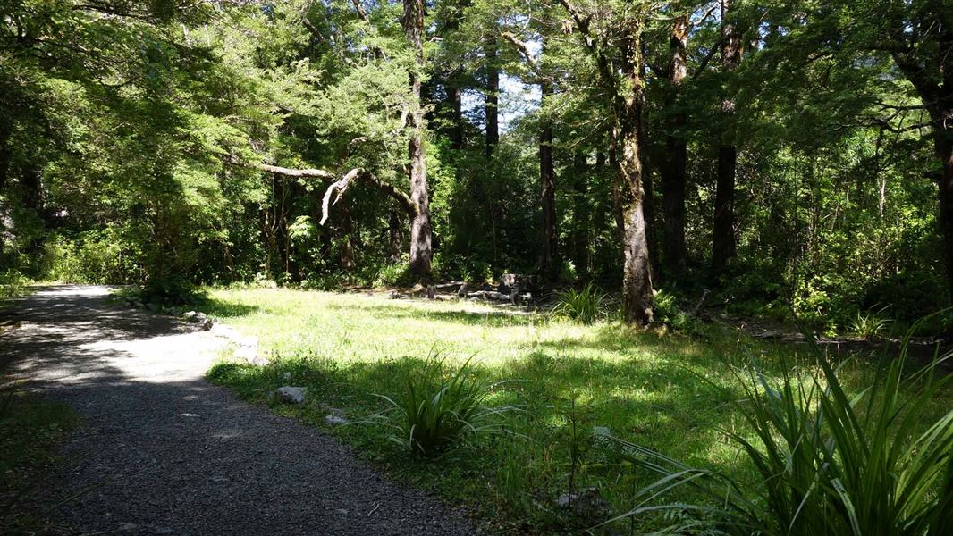
Donnelly Flat Loop Walk
Easy • 1 hr • 2.5 km • 13.7 km away
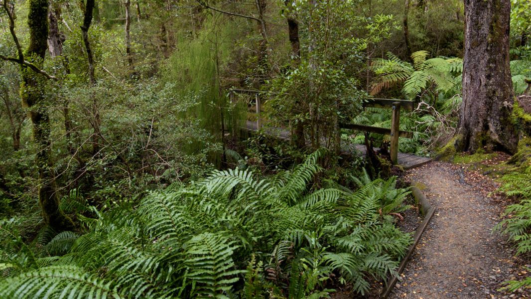
Gentle Annie Track
Easy • 3 hr 30 min - 4 hr return • 4.5 km • 14.25 km away
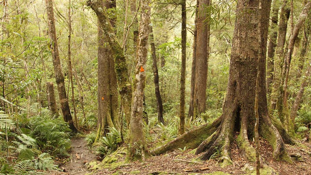
Holdsworth - Kaitoke Track
Advanced • 2–3 days • 36 km • 14.91 km away
Notes from people who have been
No notes yet. If you have been, say what you found.
Something missing or out of date?
Closed, moved, wrong facts, or something we have missed? Travellers keep the Road Guide up to date. Tell us what you found at contribute@parkup.nz and we will check it and add it.
Ask us to take this down
A person reads every request. We do not remove a place until we have checked it.
Sources
- OpenStreetMap Dump Stations · ODbLContains information from OpenStreetMap, made available under the ODbL.