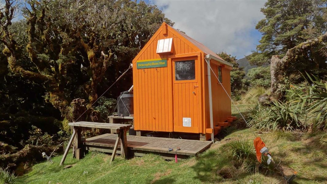
Dracophyllum Hut
Basic/bivvies hutTararua Forest Park, WellingtonOpen
- Sleeps
- 2 bunks
- Booking
- Not bookable
- Heating
- None
- Drinking water
- Boil first
- Toilet
- Non-flush
Getting there
We have not checked a road end or car park for this place yet, so we do not give driving directions to it. Check how to get there before you go. Some routes cross private land and need the landowner's permission.
How to get there, on doc.govt.nzDracophyllum hut is located on the Tararua Range below Dracophyllum Knob (1117m) and is part of the Main Range hut network.
- Topo map
- Topo50 sheet BN33
- Grid reference
- E1801685, N5484085
Source: DOC Te Papa Atawhai.
Map
Map data © OpenStreetMap contributors. Topo map: LINZ, CC BY 4.0. 40.76965° S, 175.38942° E
About this place
This is a basic two-bunk hut in the Kapiti region.
Nearby stops

Carkeek Hut
Standard • 6 bunks • Wellington • 2.4 km
Carkeek Hut is a standard six-bunk hut located in the Wairarapa region.
Heating • Mattresses • Toilets - non-flush
Otaki Hut
2 bunks • Wellington • 3.1 km
Otaki Hut is a mountain hut located in the Wellington region. It provides basic accommodation for tramping and hiking groups in the area.

Te Matawai Hut
Standard • 18 bunks • Wellington • 3.7 km
Te Matawai Hut is a standard 18-bunk hut located in the Kapiti region of Wellington.
Heating • Mattresses • Toilets - non-flush

Arete Hut
Basic/bivvies • 2 bunks • Wellington • 4.6 km
Arete Hut is a basic two-bunk hut located in the Wairarapa region of Wellington.
Toilets - non-flush • Water from tap - not treated, boil before use • Water supply

Tarn Ridge Hut
Standard • 16 bunks • Wellington • 4.6 km
Tarn Ridge Hut is a basic shelter in the Wairarapa region that offers protection from the elements. It sustained water damage from a storm in 2020, so the…
Heating • Mattresses • Toilets - non-flush
Walks nearby
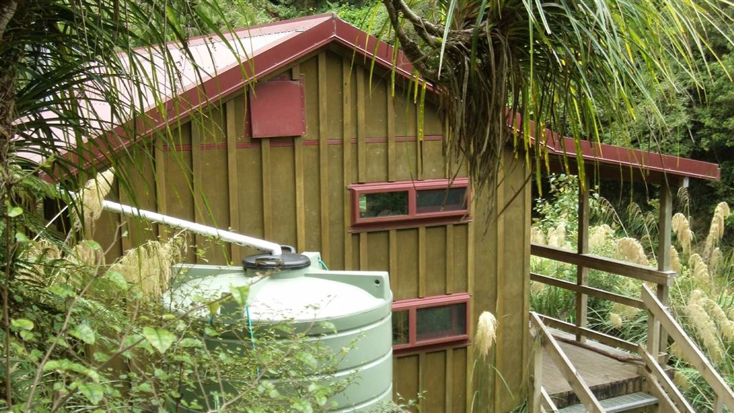
South Ohau Hut via Waiopehu and Dora Ridge
Advanced • 7-8 hr • 4.25 km away
Mitre Peak Track
Advanced • 2.66 km (to bush line) • 9.04 km away
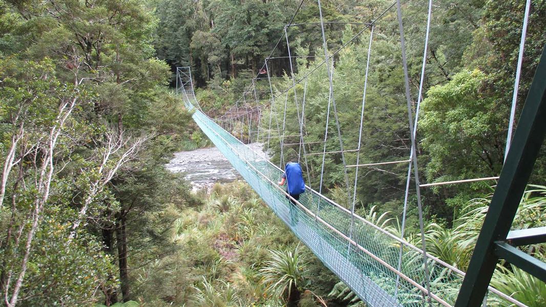
Waingawa River Track (Mitre Flats to Cow Creek)
Advanced • 3 hr 30 min • 7.3 km • 9.17 km away
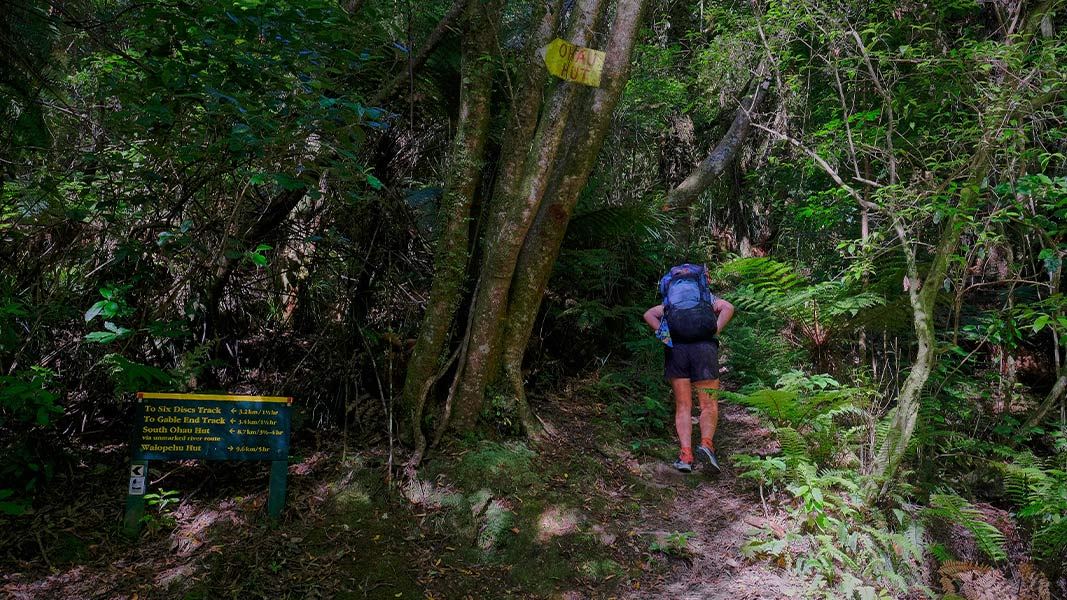
Waiopehu Track (Poads Road to Waiopehu Hut)
Intermediate • 4-5 hr • 8.89 km • 9.37 km away
Blue Range to Cow Creek Hut Track
Advanced • 3 hr • 5 km • 9.88 km away
Contact
Wellington/Kapiti information
Regional DOC service centre.
Notes from people who have been
No notes yet. If you have been, say what you found.
Something missing or out of date?
Closed, moved, wrong facts, or something we have missed? Travellers keep the Road Guide up to date. Tell us what you found at contribute@parkup.nz and we will check it and add it.
Ask us to take this down
A person reads every request. We do not remove a place until we have checked it.
Sources
- DOC Huts (API) · CC BY 4.0Crown Copyright: Department of Conservation Te Papa Atawhai. Data sourced from the DOC Developer Portal (api.doc.govt.nz).
- DOC Huts · CC BY 4.0Data sourced from the Department of Conservation (DOC), New Zealand.
- OpenStreetMap Huts · ODbL (Open Database License)Contains information from OpenStreetMap, made available under the ODbL.