Comet Road end to Shutes Hut
WalkHawke's Bay
- Grade
- Advanced
- Walking time
- 3 hr
- Distance
- 6.5 km
- Dogs
- DOC permit only
Access: read before you go
We recommend 4WD vehicles to reduce wear on the road and safe travel.
Source: DOC Te Papa Atawhai.
Getting there
We have not checked a road end or car park for this place yet, so we do not give driving directions to it. Check how to get there before you go. Some routes cross private land and need the landowner's permission.
How to get there, on doc.govt.nzTurn off the Taihape Napier Road onto Comet Road. The Comet Road turn off is about 70 km (1 hr 15 min drive time) from Hastings. Follow Comet Road until the end (3 km).
A forestry gate has been installed at the start of Comet Road to allow for closure in the event of unsafe road conditions. If the road is closed, an alert will be displayed on this page.
We recommend 4WD vehicles to reduce wear on the road and safe travel.
Kaweka Forest Park access conditions
We recommend 4WD vehicles to reduce wear on the road and safe travel. Lotkow Road: The river crossings are regularly changing, check before crossing. Lakes carpark is accessible via Kuripapango road. The previous access Castle Rock road is now closed due to ongoing forestry operations. Lawrence Carpark access road: The last 600 m of the road is steep and not recommended for 2WD vehicles - a parking space is available before the descent. The Lawrence swing bridge has been removed. Mackintosh car park is currently closed due to ongoing forestry operations. A new parking location can be located at a skid site near the closed gate (end of Kuripapango Road), this will add on 500 m walking to reach the start of the track. Whittle Road: Be aware of trucks using the quarry. Give them right of way where possible.
Source: DOC Te Papa Atawhai.
Map and tracks
Track lines: DOC Te Papa Atawhai. Map data © OpenStreetMap contributors. Topo map: LINZ, CC BY 4.0. 39.49711° S, 176.28405° E
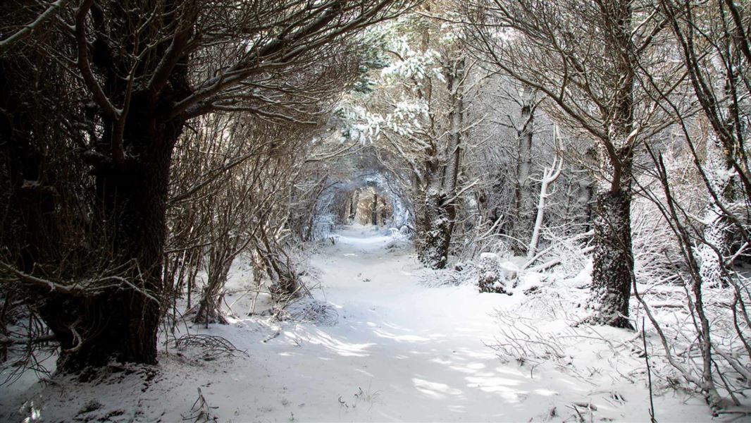
About this place
From Comet Road End take a 2-3 hour walk to historic Shutes Hut, built in 1920 for rabbiters and musterers to use.
The route
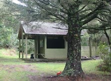
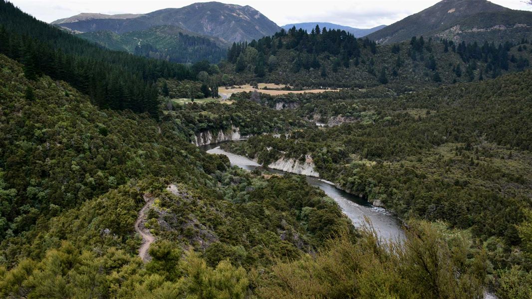
A track leads from the end of Comet Road to the Taruarau River and on to Shutes Hut in the northern Ruahine Forest Park. Shutes Hut is a quaint historic building made of local stone and cement mortar. It was built in 1920 and used first as a rabbiters hut and then by musterers. The hut is maintained to ensure its historic integrity is retained. Note: Comet Hut has been removed from the end of Comet Road. It is still marked on the map, but there is no hut or shelter at this site. The hut has been relocated beside the Ngaruroro River and renamed Komata Hut .
Source: DOC Te Papa Atawhai.
Know before you go
Stay safe when crossing rivers and streams
If you plan to cross unbridged rivers or side streams, know how to cross safely and be prepared for if you cannot cross. Do not cross if the river or stream is flooded, you cannot find safe entry and exit points or are unsure it’s safe. Turn back or wait for the river to drop. If in doubt, stay out. How to cross rivers safely NIWA river flow forecasts: View a video of national followed by regional river flows
Source: DOC Te Papa Atawhai.

Nearby stops
Komata Hut
Hawke's Bay • 3.7 km
Komata Hut is a basic shelter located in the Hawke's Bay region of New Zealand. The provided records do not specify any additional facilities or details for…
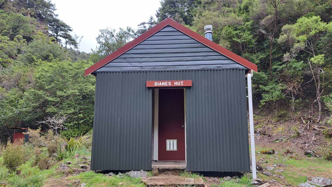
Dianes Hut
Basic/bivvies • 6 bunks • Hawke's Bay • 5 km
Dianes Hut is a basic six-bunk hut in the Hawke's Bay region. It is ideally situated for a day trip or as part of a multi-day tramp.
Heating • Mattresses • Toilets - non-flush

Taruarau Bivvy
Basic/bivvies • 2 bunks • Hawke's Bay • 5.1 km
Taruarau Bivvy is a basic two-bunk hut located in the Hawke's Bay region.
Mattresses • Toilets - non-flush • Water from tap - not treated, boil before use
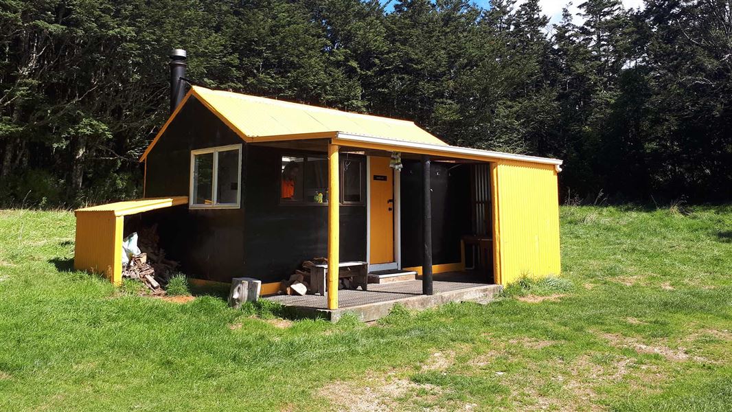
Ruahine Hut
Standard • 8 bunks • Hawke's Bay • 7.5 km
Ruahine Hut is a standard eight-bunk hut located in the Hawke's Bay region.
Heating • Mattresses • Toilets - non-flush
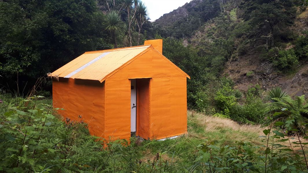
Dead Dog Hut
Standard • 6 bunks • Hawke's Bay • 9.1 km
Dead Dog Hut is a standard six-bunk hut located in the Hawke's Bay region.
Heating • Mattresses • Toilets - non-flush
Walks nearby
Notes from people who have been
No notes yet. If you have been, say what you found.
Something missing or out of date?
Closed, moved, wrong facts, or something we have missed? Travellers keep the Road Guide up to date. Tell us what you found at contribute@parkup.nz and we will check it and add it.
Ask us to take this down
A person reads every request. We do not remove a place until we have checked it.
Sources
- DOC Tracks (API) · CC BY 4.0Crown Copyright: Department of Conservation Te Papa Atawhai. Data sourced from the DOC Developer Portal (api.doc.govt.nz).