Carew Falls Track
WalkWest CoastOpen
- Grade
- Easiest
- Walking time
- 1 hr
- Distance
- 2 km
- Dogs
- No dogs
Getting there
We have not checked a road end or car park for this place yet, so we do not give driving directions to it. Check how to get there before you go. Some routes cross private land and need the landowner's permission.
How to get there, on doc.govt.nzStarts on Kumara-Inchbonnie Road, on the south end of Lake Brunner. Lake Brunner is inland from Greymouth, between SH 73 and SH 7.
Turn off SH 73 at Kumara into Kumara-Inchbonnie Road (21 km), or at Jacksons into Lake Brunner Road, which leads into Kumara-Inchbonnie Road (18 km).
Source: DOC Te Papa Atawhai.
Map
Map data © OpenStreetMap contributors. Topo map: LINZ, CC BY 4.0. 42.64087° S, 171.39918° E
About this place
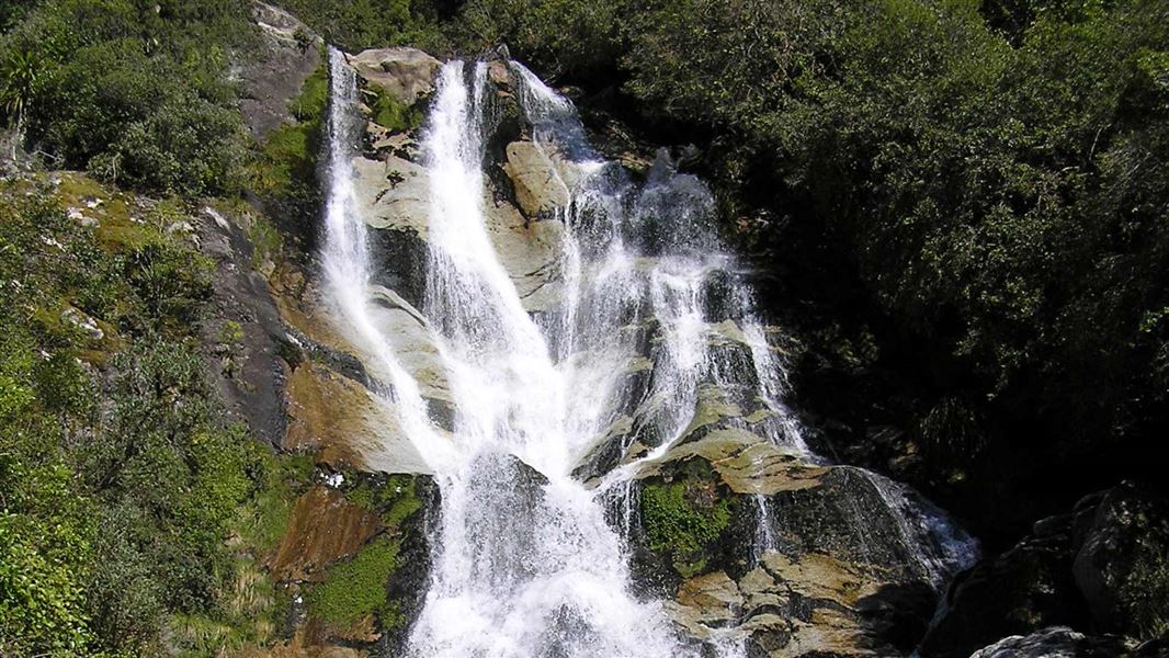
The track winds up through forest to reach a waterfall on Carew Creek. Enjoy the view from sitting on immense water-shaped granite boulders.
The route
The track starts on Kumara-Inchboooie Road, about 300 m east of Lake Brunner Lodge. A good track winds up through forest to reach a waterfall on Carew Creek, which descends from Castle Hill, one of the Hohonu Peaks. Immense water-shaped granite boulders make perfect spots for sitting and enjoying a view out over the western end of Lake Brunner from a height of more than 100 m. Old pipes seen along the track are from a small hydro scheme that once provided power for the Mitchells Hotel (now Lake Brunner Lodge).
Source: DOC Te Papa Atawhai.
Nearby stops
Iveagh Bay
West Coast • 8.8 km
Iveagh Bay is a campsite located on the West Coast. The provided data does not include details about specific facilities or amenities at this location.
Lake Brunner Motor Camp
West Coast • 9.5 km
Lake Brunner Motor Camp is a campsite located on the West Coast of New Zealand. The provided data does not include specific details regarding facilities or…
Jacksons Retreat - West Coast Holiday Park
West Coast • 15 km
Jacksons Retreat is a campsite located on the West Coast of New Zealand. The provided data does not include specific details about facilities or amenities at…
Camp Creek Hut
Basic/bivvies • 6 bunks • West Coast • 15.1 km
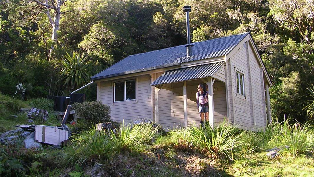
Camp Creek Hut is a basic six bunk hut located on the West Coast.
Heating • Mattresses • Toilets - non-flush
Trappers Rest
West Coast • 18.6 km
Walks nearby
Bain Bay Walk
Easy • 2.5 hr • 7.2 km • 1.51 km away
Mount Te Kinga Track/Ara O Te Kinga
Advanced • 3 hr return | 8 hr return • 5.4 km | 12.4 km • 7.88 km away
Rakaitane Track
Easiest • 30 min • 1.2 km • 9.4 km away
Velenski Walk
Easiest • 20 min • 600 m • 9.54 km away
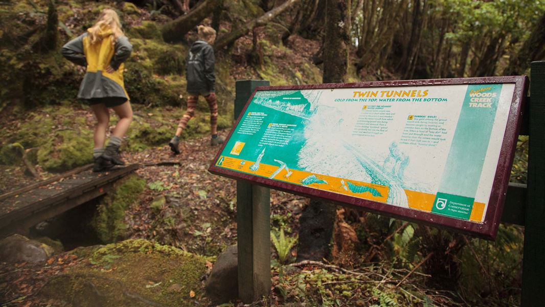
Woods Creek Track
Easy • 45 min • 1.1 km • 10.69 km away
Notes from people who have been
No notes yet. If you have been, say what you found.
Something missing or out of date?
Closed, moved, wrong facts, or something we have missed? Travellers keep the Road Guide up to date. Tell us what you found at contribute@parkup.nz and we will check it and add it.
Ask us to take this down
A person reads every request. We do not remove a place until we have checked it.
Sources
- DOC Tracks (API) · CC BY 4.0Crown Copyright: Department of Conservation Te Papa Atawhai. Data sourced from the DOC Developer Portal (api.doc.govt.nz).
- DOC Tracks & Trails · CC BY 4.0Data sourced from the Department of Conservation (DOC), New Zealand.