Callaghans Track
WalkWest Coast
- Grade
- Easy
- Walking time
- 2 hr 30 min
- Distance
- 2.6 km to lookout, 4 km to Prices Creek Road
- Dogs
- No dogs
Getting there
We have not checked a road end or car park for this place yet, so we do not give driving directions to it. Check how to get there before you go. Some routes cross private land and need the landowner's permission.
How to get there, on doc.govt.nzFrom Greymouth follow SH7 about 25 km north to Ngahere. Turn right at the Ngahere-Kopara Road and carry on to the Nelson Creek Settlement. The turn off to access the picnic, camping area and walks is opposite Nelson Creek Hotel.
Source: DOC Te Papa Atawhai.
Map and tracks
Track lines: DOC Te Papa Atawhai. Map data © OpenStreetMap contributors. Topo map: LINZ, CC BY 4.0. 42.40027° S, 171.52722° E
About this place
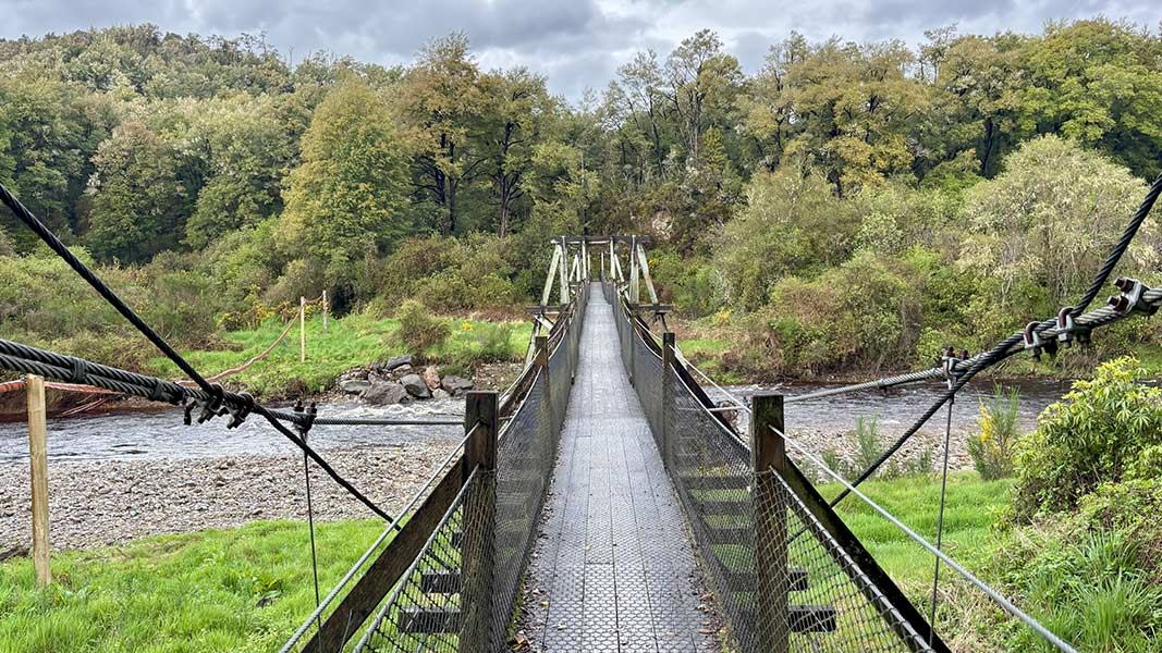
This Nelson Creek walk takes you through forest to a view of bush clad valleys, crossing historic tail and water races.
The route
This is a moderately difficult track with rough, steep and overgrown sections. To start the walk, go through an old hand picked tunnel and cross the Nelson Creek suspension bridge. It climbs steadily to a mossy knoll lookout point where you get a view into the bush clad valleys on either side of the ridge. On the way to the lookout point the track crosses a couple of deep tail races and a large water race as well as passing through regenerating beech. As the track climbs the forest is mostly podocarp/hardwood with rimu, miro, rātā, quintinia and kāmahi being the most common species. After the lookout point, the track levels out and eventually links with Prices Creek Road - a forestry road. Return by the same route. Nearby tracks you can walk in Nelson Creek are Colls Dam Walk and Tailrace Walk .
Source: DOC Te Papa Atawhai.
Joins these tracks
Source: DOC Te Papa Atawhai.
Nearby stops
Nelson Creek
West Coast • 0.9 km
Blackball District Community Centre
West Coast • 10.6 km
Blackball District Community Centre is a campsite located in the West Coast region of New Zealand. The available records provide no further details regarding…
Garden Gully Hut
West Coast • 15.7 km
Garden Gully Hut is a historic shelter located on the West Coast. It serves as a basic accommodation option for visitors exploring the area.
Ces Clark Hut
Great Walk • 16 bunks • West Coast • 16.2 km
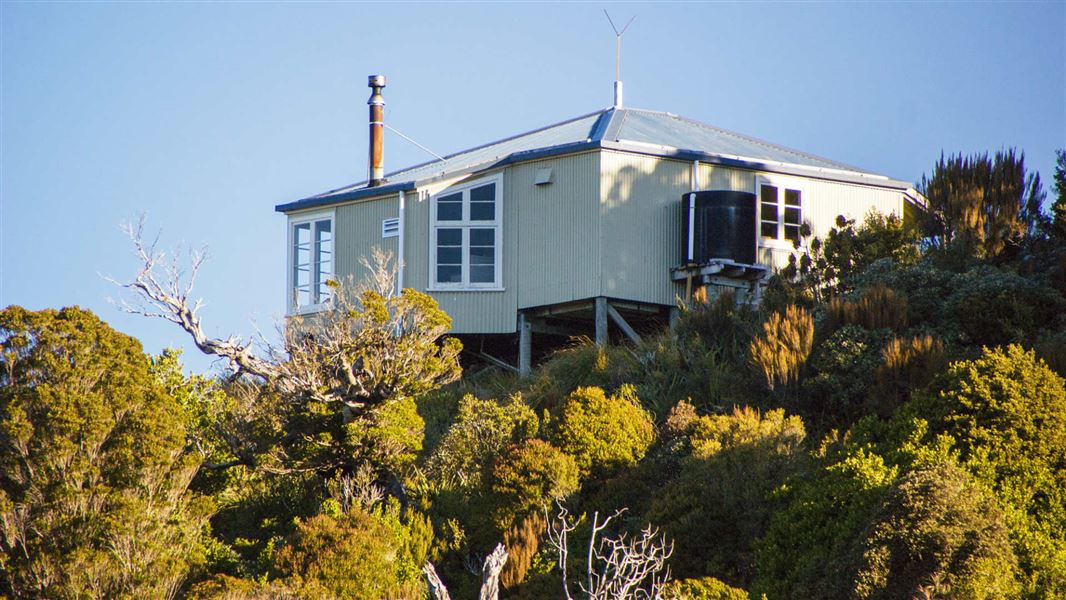
Ces Clark Hut is a 16-bunk hut located in the Greymouth area on the West Coast. You must book this hut in advance.
Cooking • Heating • Mattresses
Croesus Top Hut
West Coast • 16.3 km
Notes from people who have been
No notes yet. If you have been, say what you found.
Something missing or out of date?
Closed, moved, wrong facts, or something we have missed? Travellers keep the Road Guide up to date. Tell us what you found at contribute@parkup.nz and we will check it and add it.
Ask us to take this down
A person reads every request. We do not remove a place until we have checked it.
Sources
- DOC Tracks (API) · CC BY 4.0Crown Copyright: Department of Conservation Te Papa Atawhai. Data sourced from the DOC Developer Portal (api.doc.govt.nz).