Brewster Track
WalkWest Coast
- Grade
- Advanced
- Walking time
- 8 hr
- Distance
- 5 km
- Dogs
- No dogs
Getting there
We have not checked a road end or car park for this place yet, so we do not give driving directions to it. Check how to get there before you go. Some routes cross private land and need the landowner's permission.
How to get there, on doc.govt.nzMap and tracks
Track lines: DOC Te Papa Atawhai. Map data © OpenStreetMap contributors. Topo map: LINZ, CC BY 4.0. 44.08427° S, 169.39893° E
About this place
The track starts on State Highway 6, crosses the unbridged Haast River, and climbs steadily through beech forest to the bush line. The track ends at Brewster Hut.
The route
Car park to Brewster Hut
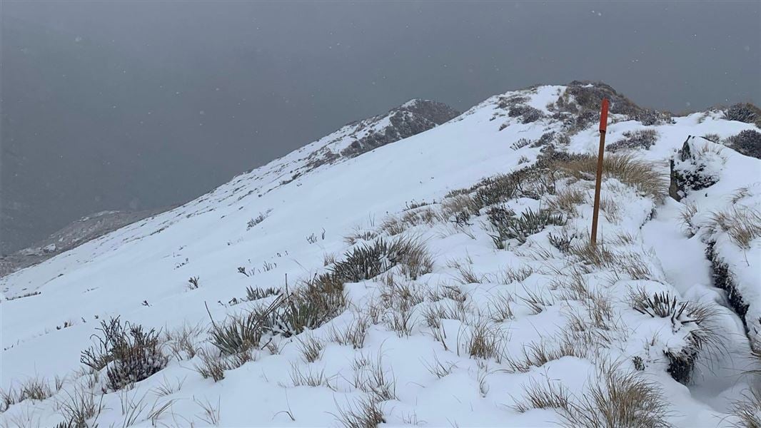
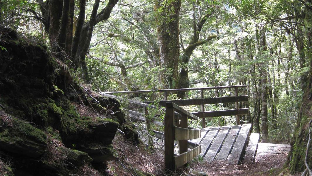
Brewster Track is very steep and unformed. You need good fitness and balance Image: Alice Milne (@alice.adventuring) © The track starts from Fantail Falls. The track crosses the unbridged Haast River – if river levels are high (for example, during/after rain or if the snow is melting), you may not be able to cross the river safely. Assess the river carefully before crossing and if in doubt, stay out. Always check the weather forecast before starting Brewster Track. We strongly recommend that you do not tramp this track if rain is forecast – the Haast River may rise during your hike and mean you cannot cross the river back to the car park. After crossing the Haast River, the track climbs steadily through beech forest to the bush line. The track is a rough, steep, slippery tramping track. Wear sturdy footwear with good grip. From the bush line, the track continues up a snow grass face and onto a narrow ridge leading up towards Brewster Hut.
There is no track beyond Brewster Hut
The terrain beyond Brewster Hut is challenging Image: Alice Milne (@alice.adventuring) © Brewster Track ends at the hut and there is no track to Mt Armstrong or Brewster Glacier. Do not attempt to hike beyond the hut unless you: The terrain is much more difficult than it looks. There are steep drops and it is easy to get lost or fall. Many people have had to be rescued from the area. The face of the glacier and ice caves are unstable. Large chunks of ice fall regularly. We strongly recommend staying well back from this area. Challenging untracked terrain beyond Brewster Hut Image: © NZ Mountain Safety Council Challenging untracked terrain beyond Brewster Hut Image: © NZ Mountain Safety Council
Alternative hikes
If you do not have the necessary experience, fitness or gear, or the weather is poor, consider walking this track instead: If the river is high but you have the fitness and gear, consider hiking this track instead:
Understand if you are ready for the Brewster Track
Watch the NZ Mountain Safety Council’s walk-through video. It takes you through how to prepare for this track including facilities, key decision points, hazards and typical conditions for the area.
Source: DOC Te Papa Atawhai.
Know before you go
Be ready for bad weather
The weather changes fast and freezing, wet weather is common even in summer. Hypothermia is a real risk. Be prepared for all weather by having warm, waterproof, windproof clothing and sturdy footwear. Always check the Mount Aspiring National Park weather forecast – NIWA website before hiking. In winter, alpine skills are essential. See section on May to November.
Unbridged crossing of the Haast River
The Haast River crossing in normal flow Image: Alice Milne (@alice.adventuring) © The Haast River is in flood in this photo – crossing would not be recommended Image: Campbell Harris | DOC Brewster Track crosses the Haast River. There is no bridge and the crossing is dangerous when the river is high or flooding. The river may not be crossable on your return if there is rain or snowmelt during the day. We recommend not hiking Brewster Track if rain is forecast. When you get to Haast River, look out for the warning signs of an unsafe river: water flowing faster than walking pace, discoloured water and debris in the river. If you aren’t sure it’s safe to cross, don’t cross – wait for the river to drop, or change your plans and return another day or return to the hut. Be ready for delays from this river crossing. Carry an emergency shelter, plenty of spare food, and plan your day so a wait at the river won’t inconvenience you. Learn how to cross a river safely on the Mountain Safety Council website .
Don’t tramp beyond the hut if there is rain or low cloud
Whiteout conditions are common year-round in this area. Low visibility can quickly disorientate hikers and cause them to get lost or wander into dangerous terrain. Rain makes the rocks slippery and a fall more likely. Tramping beyond the hut in low cloud, rain or white-out is not advised. If you see bad weather coming, turn back and return to the hut. Low visibility is a common cause of rescues in this area. However, it also can slow rescue efforts. This is why it is important to carry an emergency shelter and other gear to help you survive an unexpected night out. Low cloud near Brewster Glacier Image: © NZ Mountain Safety Council
What to take
Find a gear list here . A distress beacon, emergency shelter and spare food are essential for this trip, even as a day walk in summer. In winter, you will need extra gear. See section on May to November.
Source: DOC Te Papa Atawhai.

Nearby stops
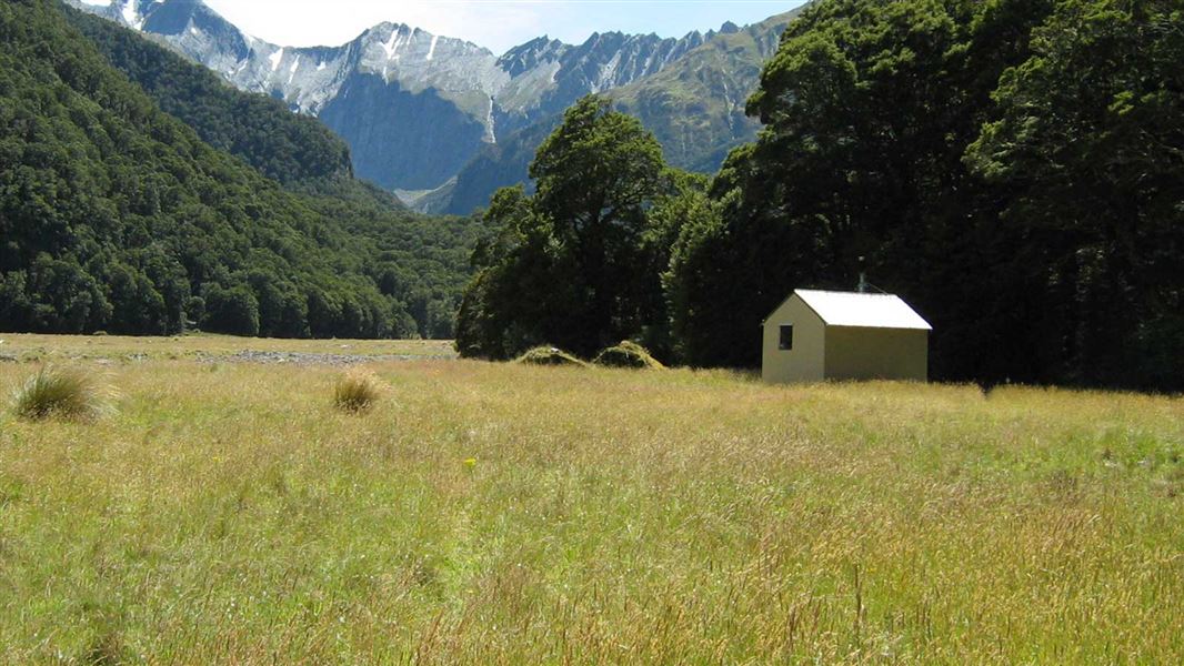
Makarora Hut
Standard • 4 bunks • Otago • 6 km
Makarora Hut is a standard four-bunk hut located in the Wanaka/Makarora area of Otago.
Heating • Mattresses • Toilets - non-flush
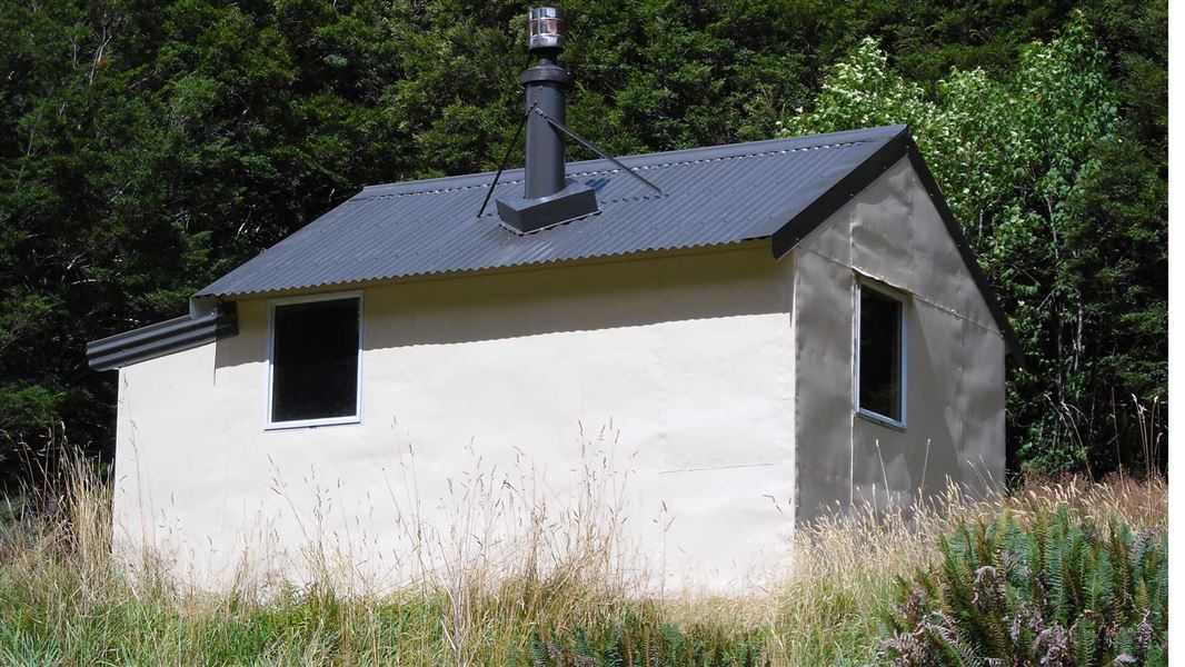
Wills Hut
Standard • 4 bunks • West Coast • 6.9 km
Wills Hut is a standard four-bunk hut located in the South Westland area of the West Coast region.
Heating • Mattresses • Toilets - non-flush
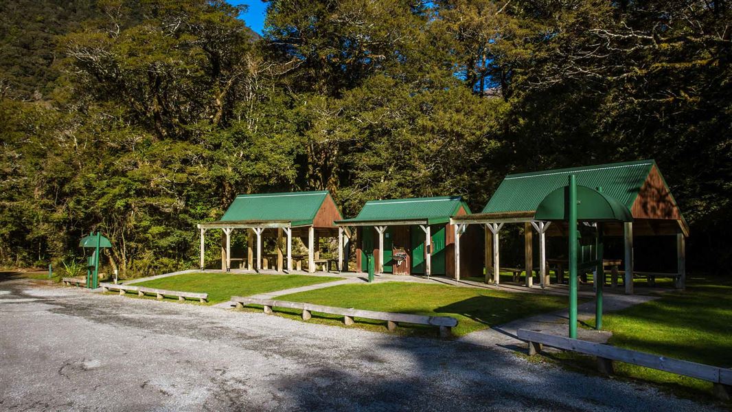
Pleasant Flat Campsite
Standard • West Coast • 8.2 km
Pleasant Flat is a standard campsite in the Wanaka and Makarora area. It offers views of Mount Hooker and is located near the Haast River for fishing and short…
Non-powered/tent sites • Shelter for cooking • Toilets - flush

Cameron Flat Campsite
Standard • Otago • 12.4 km
Cameron Flat Campsite is a standard campsite located in the Wanaka and Makarora area of Otago. It sits near the Makarora River and offers access to nearby…
Non-powered/tent sites • Shelter for cooking • Water from tap - not treated, boil before use

Ferguson Hut
Standard • 4 bunks • Otago • 12.7 km
Ferguson Hut is a standard four-bunk hut located in the Wanaka/Makarora area of Otago.
Heating • Mattresses • Toilets - non-flush
Walks nearby
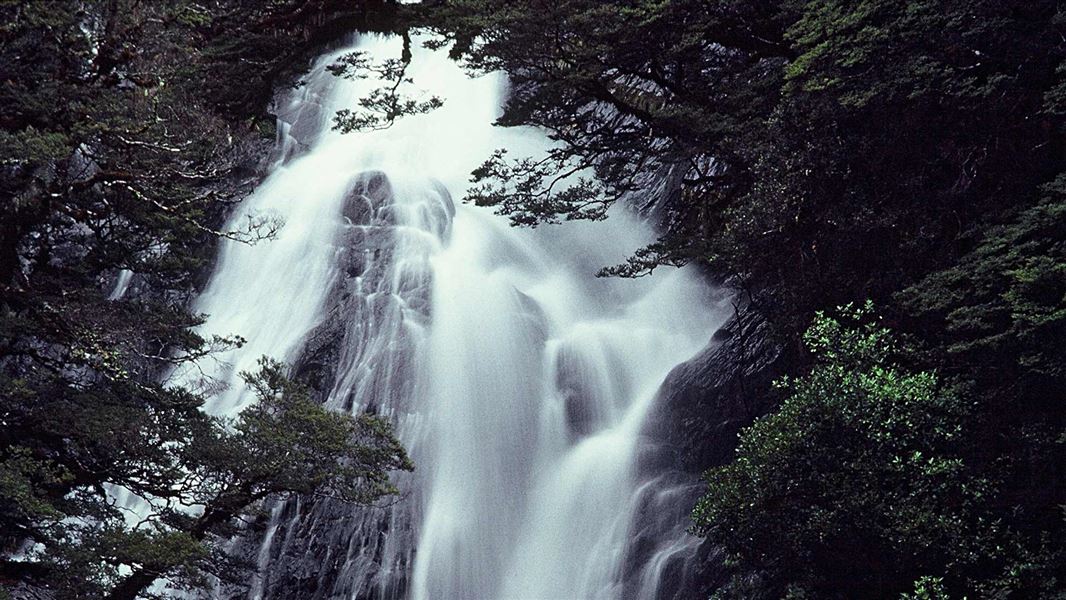
Fantail Falls Walk
Easiest • 5 min return • 200 m • 1.28 km away
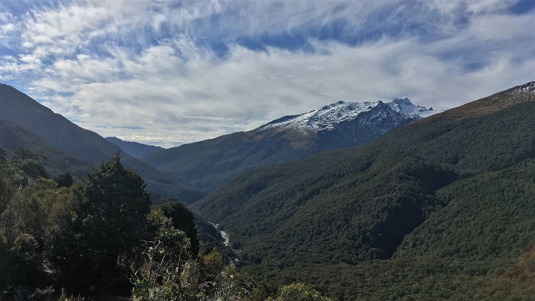
Haast Pass Lookout Track
Easy • 1 hr return • 1.5 km • 4.47 km away
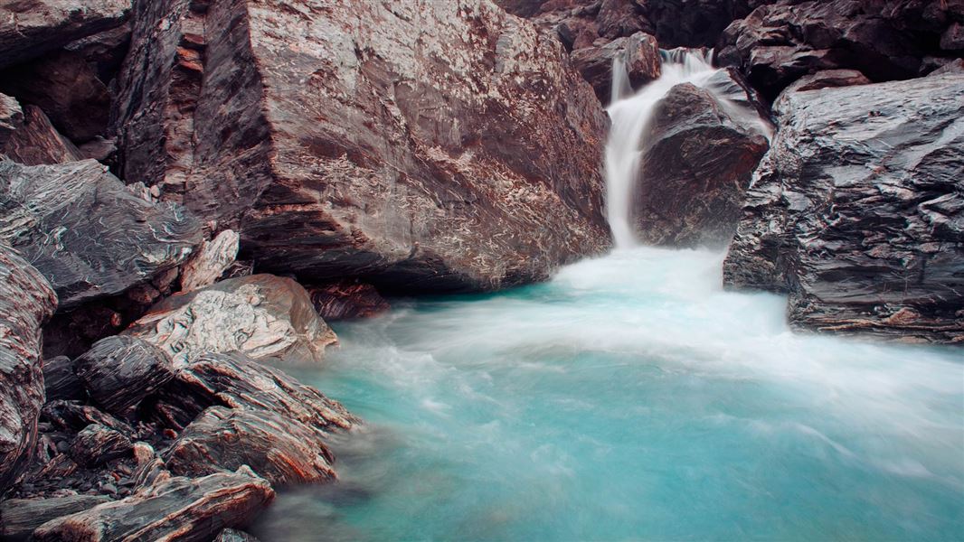
Wills Valley Track
Advanced • 5 - 6 hr • 7.5 km • 5.48 km away
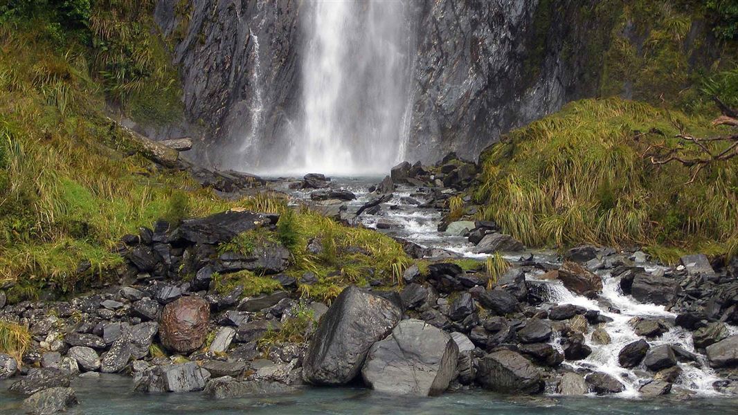
Thunder Creek Falls
Easiest • 5 min return • 200 m • 5.83 km away
Bridle Track
Easy • 1 hr 30 min one way • 3.5 km • 5.96 km away
Notes from people who have been
No notes yet. If you have been, say what you found.
Something missing or out of date?
Closed, moved, wrong facts, or something we have missed? Travellers keep the Road Guide up to date. Tell us what you found at contribute@parkup.nz and we will check it and add it.
Ask us to take this down
A person reads every request. We do not remove a place until we have checked it.
Sources
- OpenStreetMap Trails · ODbL (Open Database License)Contains information from OpenStreetMap, made available under the ODbL.
- DOC Tracks (API) · CC BY 4.0Crown Copyright: Department of Conservation Te Papa Atawhai. Data sourced from the DOC Developer Portal (api.doc.govt.nz).