Brewster Hut
Serviced Alpine hutMakarora area, West CoastOpen
Current advisories
Predator control for Mt Aspiring National Park
01 June 2026
A predator control operation using toxic bait containing 1080 was completed on 2 March 2026. The operation area includes Mt Aspiring National Park. It is open to the public with warning signs in place at key entrances. There may be toxic carcasses and bait (green coloured pellets) in the area. Do not touch the bait or animal carcasses. Water supply at the huts will be unaffected as tanks will be disconnected from the guttering, but as usual we recommend treating water before drinking. This operation is part of DOC's National Predator Control Programme to protect native species. First published on 16 September 2025. Last reviewed on 2 June 2026.
Source: DOC Te Papa Atawhai alerts.
- Sleeps
- 12 bunks
- Booking
- Can book
- Cost
- from $10
- Heating
- None
- Drinking water
- Boil first
- Toilet
- Non-flush
Getting there
We have not checked a road end or car park for this place yet, so we do not give driving directions to it. Check how to get there before you go. Some routes cross private land and need the landowner's permission.
How to get there, on doc.govt.nzApproximate time from nearest road end: SH 6 (Haast Highway) via Brewster Track: 3–4 hr
Near the car park, Brewster Track crosses the Haast River. This is not bridged and the river needs to be walked through. This crossing is dangerous when the river is in flood, usually during/after heavy rain or when there is snow melt.
Watch the NZ Mountain Safety Council’s walk-through video. It takes you through how to prepare for this track including facilities, key decision points, hazards and typical conditions for the area.
- Topo map
- Topo50 sheet BZ13
- Grid reference
- E1312805, N5112043
Source: DOC Te Papa Atawhai.
Map and tracks
Track lines: DOC Te Papa Atawhai. Map data © OpenStreetMap contributors. Topo map: LINZ, CC BY 4.0. 44.08783° S, 169.41226° E
About this place
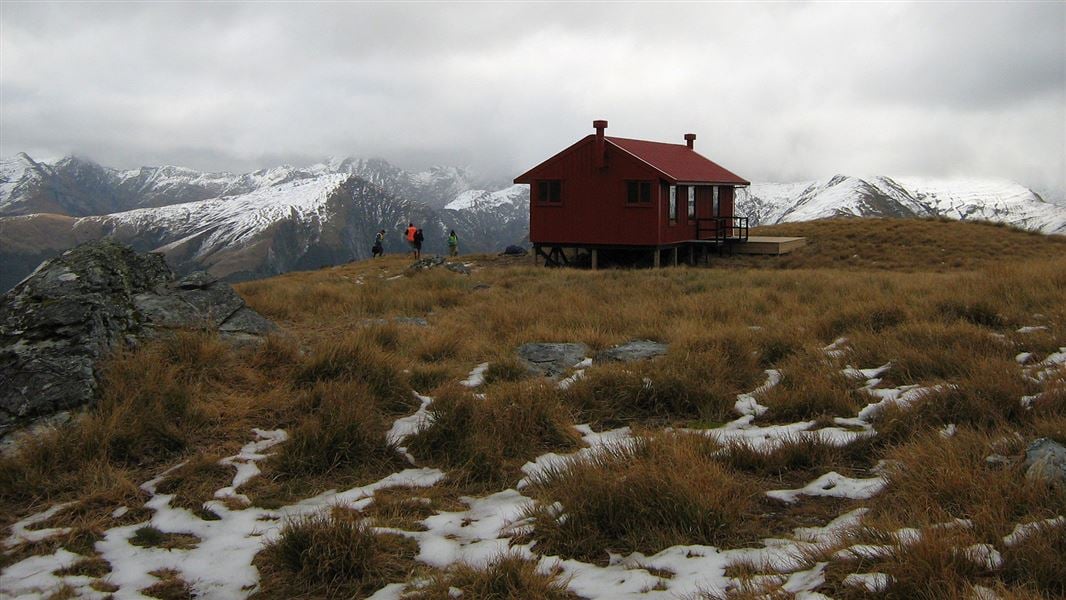
This is a serviced-alpine 12 bunk hut in the South Westland area. You need to book to stay at this hut over the summer season. Book online before you go.
On the way here
Brewster Track · 6 – 8 hr return
Car park to Brewster Hut
Brewster Track is very steep and unformed. You need good fitness and balance Image: Alice Milne (@alice.adventuring) © The track starts from Fantail Falls. The track crosses the unbridged Haast River – if river levels are high (for example, during/after rain or if the snow is melting), you may not be able to cross the river safely. Assess the river carefully before crossing and if in doubt, stay out. Always check the weather forecast before starting Brewster Track. We strongly recommend that you do not tramp this track if rain is forecast – the Haast River may rise during your hike and mean you cannot cross the river back to the car park. After crossing the Haast River, the track climbs steadily through beech forest to the bush line. The track is a rough, steep, slippery tramping track. Wear sturdy footwear with good grip. From the bush line, the track continues up a snow grass face and onto a narrow ridge leading up towards Brewster Hut.
There is no track beyond Brewster Hut
The terrain beyond Brewster Hut is challenging Image: Alice Milne (@alice.adventuring) © Brewster Track ends at the hut and there is no track to Mt Armstrong or Brewster Glacier. Do not attempt to hike beyond the hut unless you: The terrain is much more difficult than it looks. There are steep drops and it is easy to get lost or fall. Many people have had to be rescued from the area. The face of the glacier and ice caves are unstable. Large chunks of ice fall regularly. We strongly recommend staying well back from this area. Challenging untracked terrain beyond Brewster Hut Image: © NZ Mountain Safety Council Challenging untracked terrain beyond Brewster Hut Image: © NZ Mountain Safety Council
Source: DOC Te Papa Atawhai.
Know before you go
Water
The water tank at Brewster Hut may be dry during the summer months especially December to February. We recommend you carry sufficient water for your visit during this period.
Weather forecast
Brewster Hut weather forecast – NIWA website
Source: DOC Te Papa Atawhai.
Fees and bookings
1 May - 30 September
1 October - 30 April
Weekdays
Weekends
1 December - 29 February
Weekdays
Weekends
Camping
Before you go, buy Hut Tickets for each night's stay. Put this in the honesty box at the hut. Or buy a Backcountry Hut Pass or Campsite Pass. Backcountry Hut Passes can be used for this hut from 1 May to 30 September. Passes won't be accepted from 1 October to 30 April. About hut tickets and passes Retailers that sell hut tickets and passes DOC Campsite Pass
Bookings are open for stays from 1 October 2026 to 31 May 2027. If no availability shows online for your dates, the hut is fully booked. No spaces are kept for visitors arriving without a booking. Phone and in‑person bookings made at a visitor centre incur a $10 service fee. Same‑day bookings are available online until 8 pm if spaces remain. 1 October – 31 May Bookings are required. Book Brewster Hut online Your hut booking is for any bunk bed, not for a specific bunk bed – select your bunk bed on arrival. 1 June – 30 September Bookings are not required - first come, first served. Fees still apply.
Source: DOC Te Papa Atawhai.
Nearby stops
Makarora Hut
Standard • 4 bunks • Otago • 5.1 km
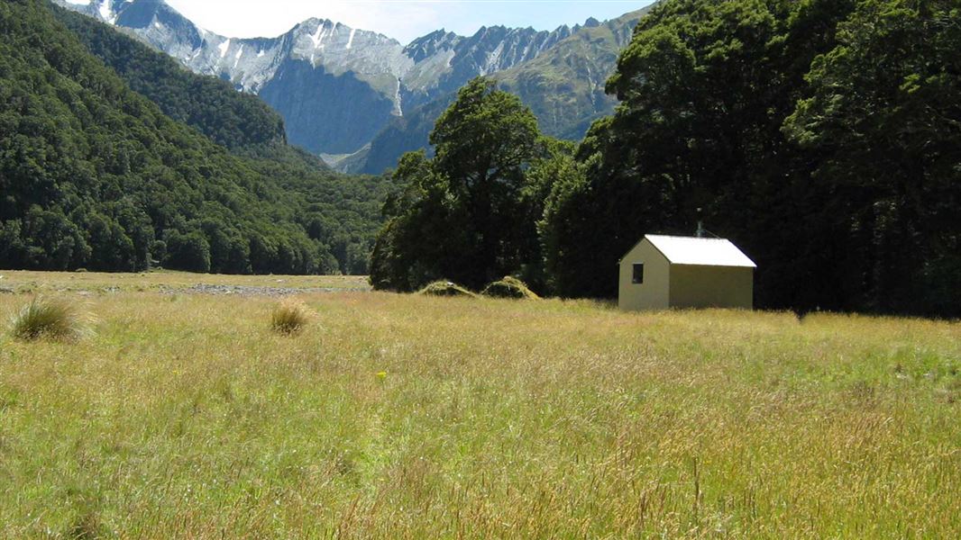
Makarora Hut is a standard four-bunk hut located in the Wanaka/Makarora area of Otago.
Heating • Mattresses • Toilets - non-flush
Wills Hut
Standard • 4 bunks • West Coast • 6.6 km
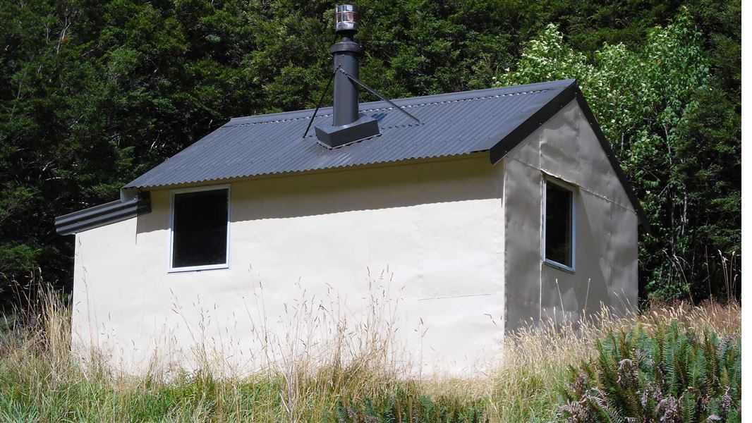
Wills Hut is a standard four-bunk hut located in the South Westland area of the West Coast region.
Heating • Mattresses • Toilets - non-flush
Pleasant Flat Campsite
Standard • West Coast • 8.8 km
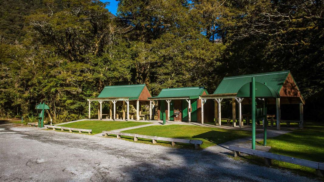
Pleasant Flat is a standard campsite in the Wanaka and Makarora area. It offers views of Mount Hooker and is located near the Haast River for fishing and short…
Non-powered/tent sites • Shelter for cooking • Toilets - flush

Ferguson Hut
Standard • 4 bunks • Otago • 11.6 km
Ferguson Hut is a standard four-bunk hut located in the Wanaka/Makarora area of Otago.
Heating • Mattresses • Toilets - non-flush

Bull Flat Hut
Basic/bivvies • 2 bunks • Otago • 12.7 km
Bull Flat Hut is a basic two-bunk hut located in the Wanaka and Makarora area of Otago.
Heating • Mattresses • Toilets - non-flush
Walks nearby
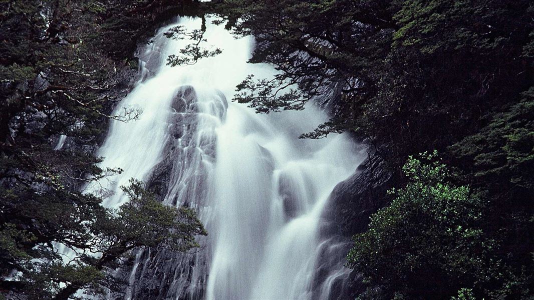
Fantail Falls Walk
Easiest • 5 min return • 200 m • 2.39 km away
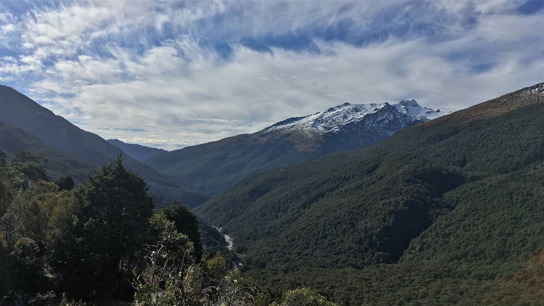
Haast Pass Lookout Track
Easy • 1 hr return • 1.5 km • 5.2 km away
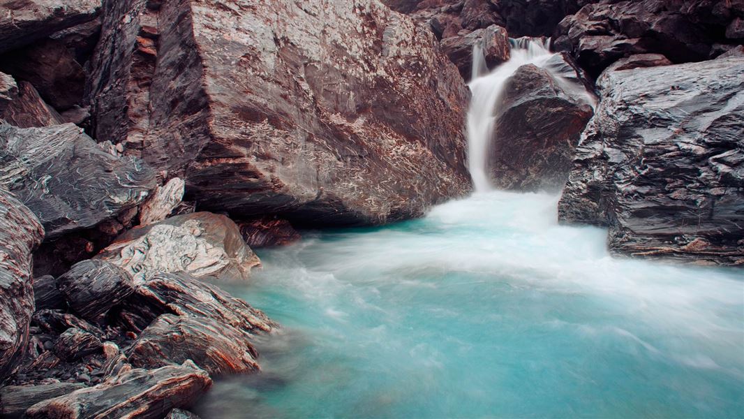
Wills Valley Track
Advanced • 5 - 6 hr • 7.5 km • 5.7 km away
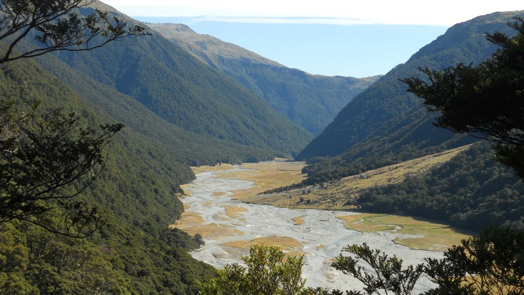
Makarora Track
Advanced • 7 hr one way • 10.5 km from the road bridge • 6.01 km away
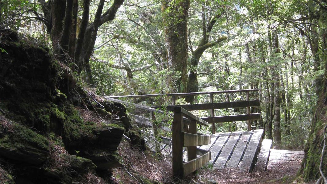
Bridle Track
Easy • 1 hr 30 min one way • 3.5 km • 6.54 km away
Contact
Wānaka Tititea/Mount Aspiring National Park
Regional DOC service centre.
Something missing or out of date?
Closed, moved, wrong facts, or something we have missed? Travellers keep the Road Guide up to date. Tell us what you found at contribute@parkup.nz and we will check it and add it.
Ask us to take this down
A person reads every request. We do not remove a place until we have checked it.
Sources
- DOC Huts (API) · CC BY 4.0Crown Copyright: Department of Conservation Te Papa Atawhai. Data sourced from the DOC Developer Portal (api.doc.govt.nz).
- DOC Huts · CC BY 4.0Data sourced from the Department of Conservation (DOC), New Zealand.
- OpenStreetMap Huts · ODbL (Open Database License)Contains information from OpenStreetMap, made available under the ODbL.