Baikie Hut
Basic/bivvies hutRuataniwha Conservation Park, CanterburyOpen
Current advisories
Wallaby control operation for Ruataniwha Conservation Park
23 September 2026
Environment Canterbury (ECAN) distributed toxic cereal bait pellets containing 1080 by helicopter on 27-28 July 2026. Phase 2 of the operation started on 12 September, with the toxic bait application laid on Wednesday, 23 September 2026. Ruataniwha Conservation Park is open to the public with warning signs in place at key entrances. The operation is from the Darts Bush area through to the Duncan Stream area/Rhoboro Hills and Rhoboro Downs. See the pesticide summary for a map of the area This operation is part of the Tipu Mātoro National Wallaby Eradication Programme. Note: Greta Track is outside the treated area and remains suitable for visitors with dogs, provided dogs are kept on a lead and do not eat animal carcasses. Do not take dogs beyond Greta Track into the treated area. First published on 11 June 2026. Last reviewed on 24 September 2026.
Source: DOC Te Papa Atawhai alerts.
- Sleeps
- 4 bunks
- Booking
- Not bookable
- Heating
- Yes
- Drinking water
- Not drinkable
- Toilet
- Non-flush
Getting there
We have not checked a road end or car park for this place yet, so we do not give driving directions to it. Check how to get there before you go. Some routes cross private land and need the landowner's permission.
How to get there, on doc.govt.nzTo drive to Baikie Hut, 4WD access permission and a key must be obtained from the landholder. Ring the landholder, Pukaki Downs Station, for permission: +64 21 255 2045. You'll be required to pay a fee and key bond.
This track may be closed at times, for example during periods of high fire danger. A fee or bond may be payable to the owners of Pukaki Downs Station. In order to protect the fragile environment above Baikie Hut, vehicles are to be left at the hut.
- Topo map
- Topo50 sheet BZ15
Source: DOC Te Papa Atawhai.
Map and tracks
Track lines: DOC Te Papa Atawhai. Map data © OpenStreetMap contributors. Topo map: LINZ, CC BY 4.0. 44.10818° S, 170.06459° E
About this place
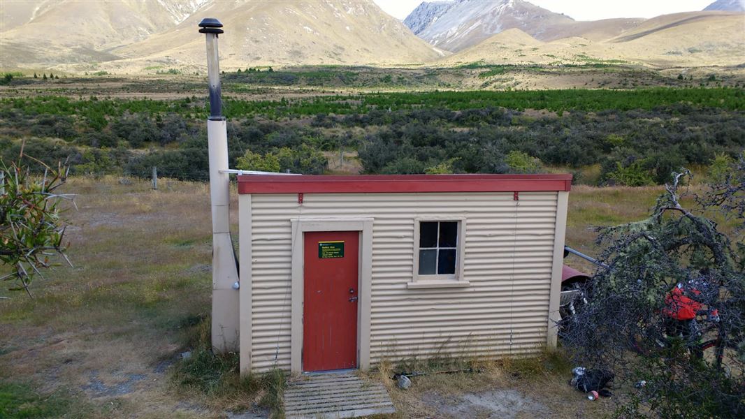
This is a basic four-bunk hut in Ruataniwha Conservation Park.
On the way here
Baikie Hut Track · 3 hr one way
Walk along a 4WD track which runs parallel to Twizel River. Baikie Hut, resting on grassy flats beside the river, makes a great picnic or overnight venue. A worthwhile tramping trip is to continue hiking up the tarns in Duncan Valley.
Mountain biking
It's a short mountain bike ride into Baikie Hut, then a fun coast downhill back out again. This is a good trip for families. This is a shared-use track. Follow the mountain bikers code : respect others, respect the rules, respect the track.
Four wheel driving
4WD the public access easement into Baikie Hut if track conditions are favourable. Ring the landholder, Pukaki Downs Station, for permission: +64 21 255 2045. You'll be required to pay a fee and key bond.
Horse riding
The track into Baikie Hut is suitable for horses. There is also a hitching post outside Baikie Hut and a fenced paddock nearby. Landholder permission is not required.
Source: DOC Te Papa Atawhai.
Fees and bookings
Free
Source: DOC Te Papa Atawhai.
Nearby stops
Lake Wardell
Canterbury • 10.7 km
Lake Pukaki Camping Area
Canterbury • 10.9 km
Lake Poaka Amenity area
Canterbury • 11.3 km
Lake Poaka campsite is on Lake Poaka Access Road, off State Highway 8 north of Pukaki Canal. The maximum stay is four nights, with 30 non-powered and tent…

Lake Poaka Campsite
Basic • Canterbury • 11.3 km
Lake Poaka Campsite is located in the Canterbury region near Twizel. It serves as a base for recreational activities in the surrounding area and offers an…
Non-powered/tent sites • Water from stream • Toilets - non-flush
Le Crens Hut
Canterbury • 15.4 km
Le Crens Hut is a backcountry hut located in the Canterbury region. It provides basic shelter for hikers and trampers in the area.
Walks nearby
Pukaki Boulders Track
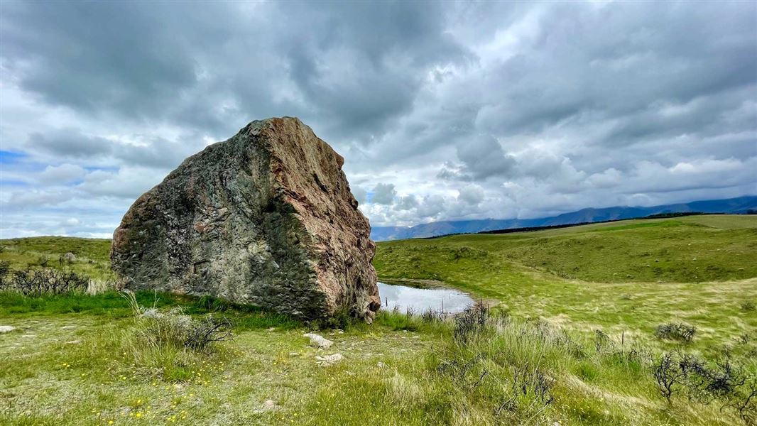
Easiest • 10 min one way • 200 m • 5.76 km away
Dusky Trail
Advanced • 7-8 hr • 23 km • 8.65 km away
Marker Bay Track
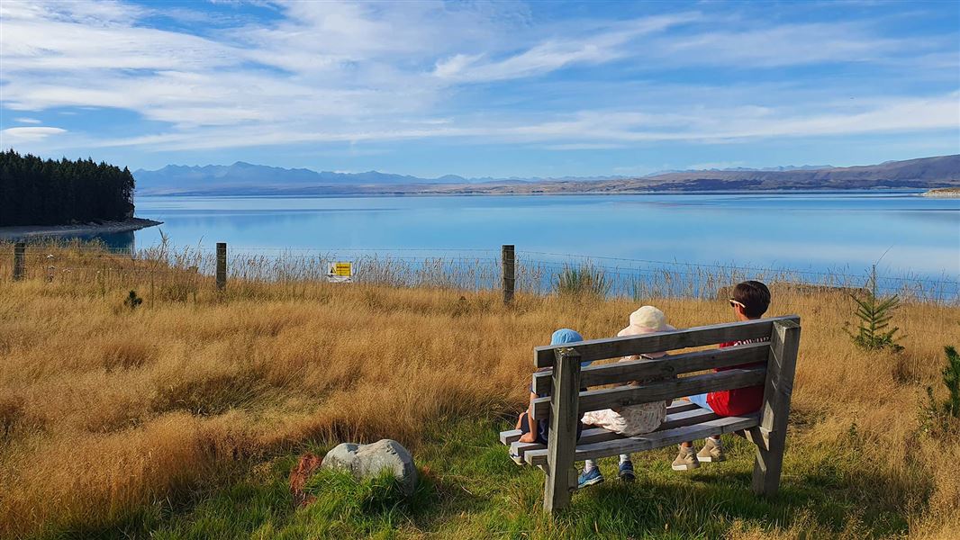
Easiest • 20 min return • 1 km • 10.04 km away
Rhoboro Track
Advanced • Under 1 hour • 9.77 km • 11.07 km away
Pukaki Kettle Hole Track
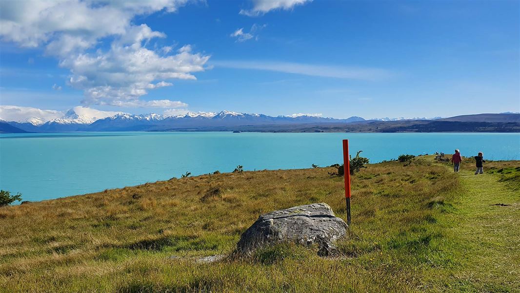
Easiest • 1 hr return • 4 km • 11.13 km away
Contact
Aoraki/Mount Cook National Park Visitor Centre
1 Larch Grove, Aoraki/Mount Cook 7999
Regional DOC service centre.
Something missing or out of date?
Closed, moved, wrong facts, or something we have missed? Travellers keep the Road Guide up to date. Tell us what you found at contribute@parkup.nz and we will check it and add it.
Ask us to take this down
A person reads every request. We do not remove a place until we have checked it.
Sources
- OpenStreetMap Huts · ODbL (Open Database License)Contains information from OpenStreetMap, made available under the ODbL.
- DOC Huts (API) · CC BY 4.0Crown Copyright: Department of Conservation Te Papa Atawhai. Data sourced from the DOC Developer Portal (api.doc.govt.nz).
- DOC Huts · CC BY 4.0Data sourced from the Department of Conservation (DOC), New Zealand.