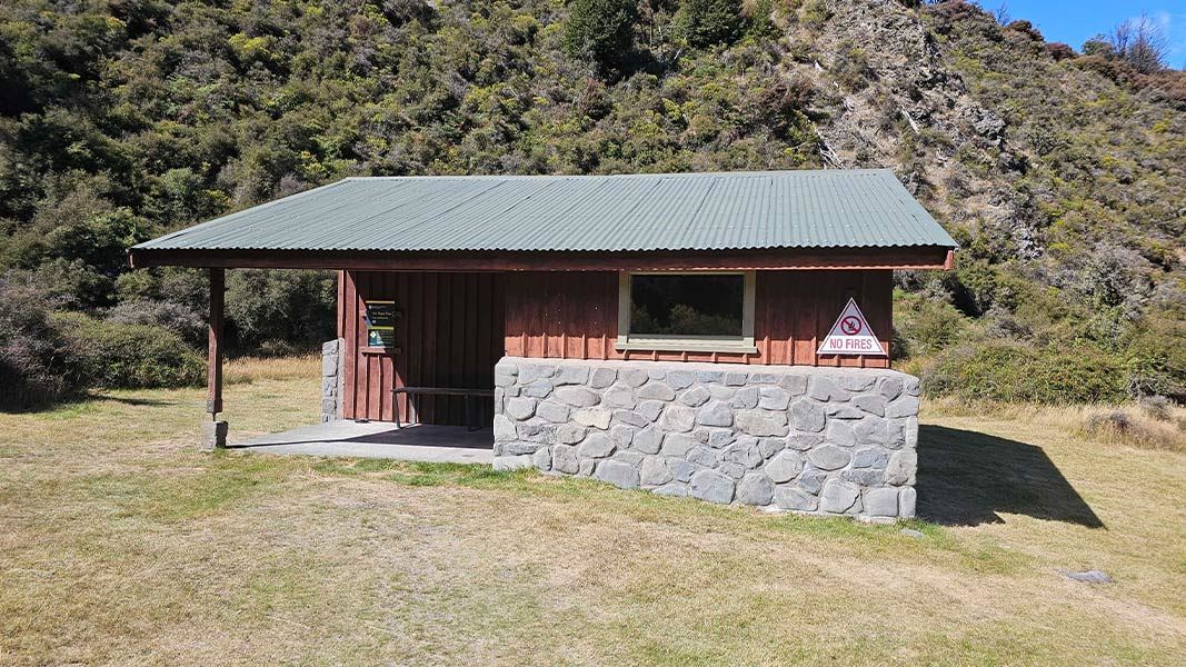
Andrews Shelter Campsite
Basic campsiteLocated in Arthur's Pass National Park, CanterburyOpen
- Sites
- 20
- Booking
- Not bookable
- Cost
- Free
- Power
- None
- Toilet
- Non-flush
- Water
- Yes
- Dogs
- No dogs
Getting there
Follow SH 73, campsite is 5 km along Mount White Rd.
Gravel road.
Source: DOC Te Papa Atawhai.
Map
Map data © OpenStreetMap contributors. Topo map: LINZ, CC BY 4.0. 42.99406° S, 171.79295° E
About this place
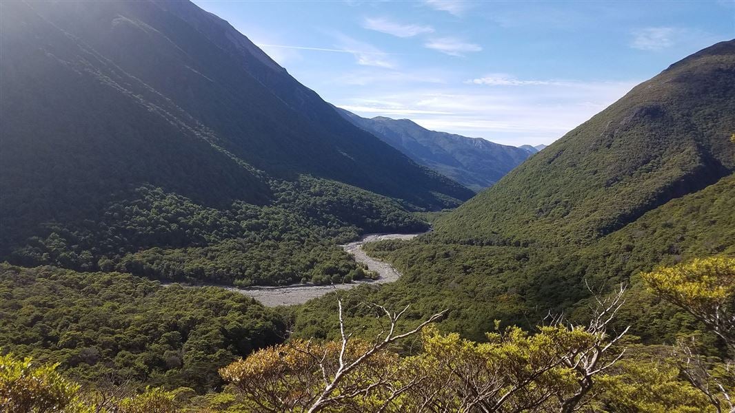
A popular starting point for trampers heading to the new Casey Hut.
Nearby stops
Riversdale Hut
Canterbury • 1.3 km
Paterson Lodge
Canterbury • 3.2 km
Kidson Lodge
Canterbury • 3.3 km
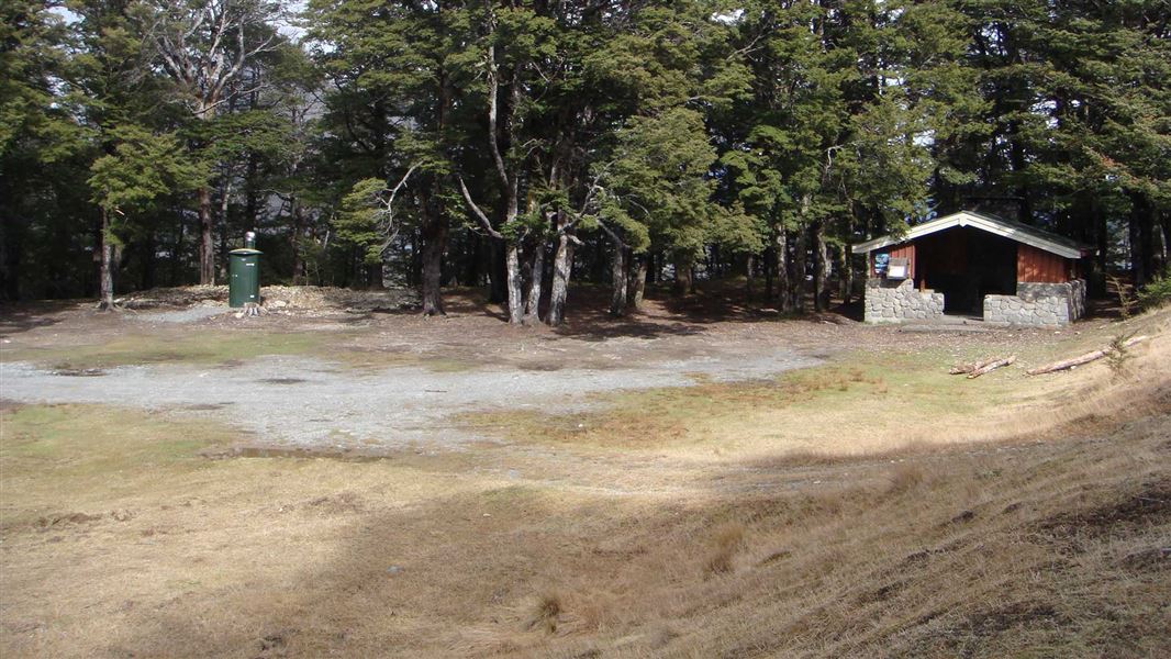
Hawdon Shelter Campsite
Standard • Canterbury • 3.7 km
Hawdon Shelter Campsite is located in the lower reaches of the Hawdon Valley in Canterbury. The site offers camping on the grassy flats.
Non-powered/tent sites • Shelter for cooking • Water from tap - not treated, boil before use
Cass
Canterbury • 5.6 km
Cass is a campsite located in the Canterbury region of New Zealand. The available records provide no further details regarding specific facilities or amenities…
Walks nearby
Contact
Arthur's Pass National Park Visitor Centre
104 West Coast Road, Arthur's Pass 7654
Regional DOC service centre.
Notes from people who have been
No notes yet. If you have been, say what you found.
Something missing or out of date?
Closed, moved, wrong facts, or something we have missed? Travellers keep the Road Guide up to date. Tell us what you found at contribute@parkup.nz and we will check it and add it.
Ask us to take this down
A person reads every request. We do not remove a place until we have checked it.
Sources
- DOC Campsites · CC BY 4.0Data sourced from the Department of Conservation (DOC), New Zealand.
- DOC Campsites (API) · CC BY 4.0Crown Copyright: Department of Conservation Te Papa Atawhai. Data sourced from the DOC Developer Portal (api.doc.govt.nz).
- OpenStreetMap Campsites · ODbL (Open Database License)Contains information from OpenStreetMap, made available under the ODbL.