Albert Burn Hut Track
WalkOtago
- Grade
- Advanced
- Walking time
- 8 hr
- Dogs
- No dogs
Getting there
We have not checked a road end or car park for this place yet, so we do not give driving directions to it. Check how to get there before you go. Some routes cross private land and need the landowner's permission.
How to get there, on doc.govt.nzThe Albert Burn is a remote valley, with access by boat across Lake Wanaka or via the ‘cattle track’ from the Makarora River mouth. From the mouth of the Albert Burn follow the farmed river flats into the gorge. Don’t disturb livestock.
Source: DOC Te Papa Atawhai.
Map
Map data © OpenStreetMap contributors. Topo map: LINZ, CC BY 4.0. 44.33999° S, 169.01822° E
About this place
From the mouth of the Albert Burn follow the farmed river flats into the gorge and on to the Albert Burn Hut.
The route
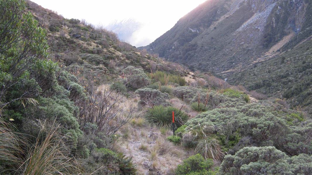
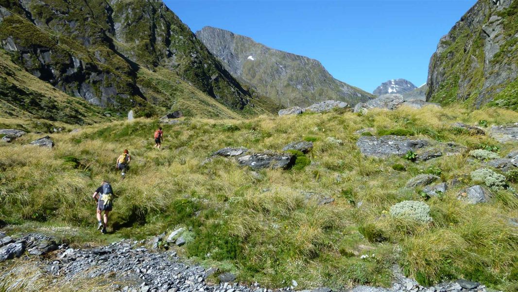
The first section of the valley travels through a gorge and involves crossing the river several times. An old cattle track on the 'true right' of the river climbs up through beech forest above part of this lower gorge. As it continues up the valley, it crosses alluvial fans and bracken covered river beds before reaching large open flats; from here there is no marked track. Cross the river to the 'true left' at the high end of the last flat to reach Albert Burn Hut; situated on a small terrace at the western end. The hut is set well back from the river - don't miss it. There’s also a good 3-4 hour trip from here to the top flat.
Source: DOC Te Papa Atawhai.
Know before you go
Bad weather
The weather can change rapidly in New Zealand. Hypothermia is a real risk even in summer. Be prepared by having warm, waterproof, windproof clothing and the appropriate footwear. Whiteout conditions caused by snow or low cloud may be present. Check the Mount Aspiring National Park weather forecast – NIWA website .
Stay safe when crossing rivers and streams
If you plan to cross unbridged rivers or side streams, know how to cross safely and be prepared for if you cannot cross. Do not cross if the river or stream is flooded, you cannot find safe entry and exit points or are unsure it’s safe. Turn back or wait for the river to drop. If in doubt, stay out. How to cross rivers safely NIWA river flow forecasts: View a video of national followed by regional river flows
Be avalanche alert
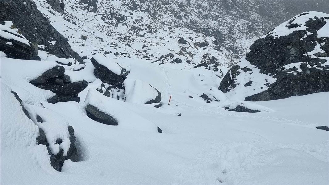
Avalanches can occur in any season. Any time that snow and steep slopes are combined there is potential for an avalanche. You need to understand the risks before you visit avalanche-prone country. This area has terrain that can produce avalanches that cross the track, usually from May into November. View avalanche information and the terrain rating for this track .
Source: DOC Te Papa Atawhai.

Nearby stops

Kerin Forks Hut
Serviced • 10 bunks • Otago • 11.3 km
Kerin Forks Hut is a serviced 10-bunk hut located in the Wanaka/Makarora area of Otago.
Heating • Mattresses • Toilets - non-flush
Craigie Burn Hut
Otago • 11.7 km
Craigie Burn Hut is a backcountry hut located in the Otago region of New Zealand. The provided records do not list specific facilities or additional details…

Top Forks Hut
Serviced • 16 bunks • Otago • 12.5 km
Top Forks Hut is a serviced 16-bunk hut located in the Wanaka/Makarora area of Otago.
Heating • Lighting • Toilets - non-flush
Makarora Cafe Motor Home Park
Otago • 16.9 km
Makarora Cafe Motor Home Park is a campsite located in the Otago region. The site is associated with the Makarora Cafe and is situated in the Makarora area.
Walks nearby
Notes from people who have been
No notes yet. If you have been, say what you found.
Something missing or out of date?
Closed, moved, wrong facts, or something we have missed? Travellers keep the Road Guide up to date. Tell us what you found at contribute@parkup.nz and we will check it and add it.
Ask us to take this down
A person reads every request. We do not remove a place until we have checked it.
Sources
- DOC Tracks (API) · CC BY 4.0Crown Copyright: Department of Conservation Te Papa Atawhai. Data sourced from the DOC Developer Portal (api.doc.govt.nz).