Whisky Creek Track
WalkSouthland
- Grade
- Easy
- Walking time
- 45 min
- Dogs
- No dogs
Getting there
We have not checked a road end or car park for this place yet, so we do not give driving directions to it. Check how to get there before you go. Some routes cross private land and need the landowner's permission.
How to get there, on doc.govt.nzCroydon Bush Scenic Reserve is located approximately 10 km to the north west of Gore. Dolamore Park is located 11km from Gore at the south-west end of the Croydon Bush Scenic Reserve.
Source: DOC Te Papa Atawhai.
Map
Map data © OpenStreetMap contributors. Topo map: LINZ, CC BY 4.0. 46.05887° S, 168.83776° E
About this place
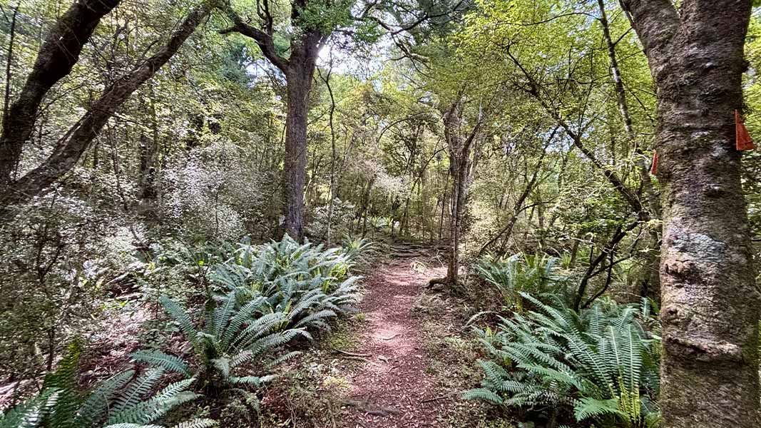
Follow the track through forest up to a ridge. You can also turn off to Poppelwell's Lookout to see commanding views of the Southland Plains.
The route
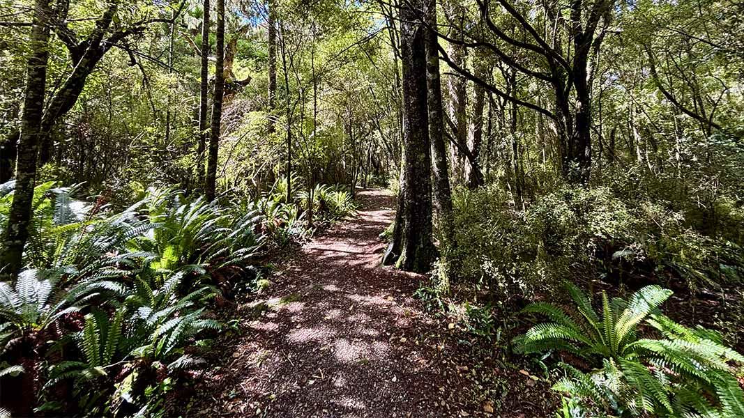
From Dolamore Park carpark, cross Waimumu Stream and turn right along the wheelchair accessible boardwalk. Turn right, cross the bridge climbing steadily to a ridge. This section of track passes through podocarp hardwood forest before crossing a hillside face on an easy grade. A sign marks a turnoff to Poppelwells Lookout. Care is needed on the steady climb to the lookout where you are rewarded with commanding views of the Southland Plains. On a fine day seats at the lookout make it an ideal lunch spot. Returning from Poppelwells Lookout, follow the track to Whisky Creek and then on to the car park just off Domain Road. From the carpark the way back to the Dolamore Park picnic area is via a well formed grass track. Allow approximately two hours for the loop trip and 30-45 minutes extra for the Poppelwells Lookout side trip.
Hidden Valley Track
Time: 2 hr loop track
Note: this tramping track is no longer maintained by DOC. km Where Whisky Creek Track joins the line of an old water race, Hidden Valley Track heads off to the right along the old water race crossing two streams. It follows the second stream for a short distance before climbing steeply through bush to an open grass and scrub glade. It then continues down through the glade meeting a track alongside Whisky Creek. Follow the track downhill until it comes out on the Whisky Creek Track. The loop is completed along the track back to the carpark.
Source: DOC Te Papa Atawhai.
Nearby stops
Dolamore Park
Southland • 0.9 km
Gore Town and Country Club
Southland • 9.7 km
Gore Town and Country Club offers a small gravel parking area in a quiet central location within Southland. Campers pay $10 per pitch at the associated bar,…
Gore A&P Showgrounds
Southland • 9.8 km
Gore A&P Showgrounds is a campsite located in the Southland region. It is situated on the grounds of the local agricultural and pastoral show.
Walks nearby
Notes from people who have been
No notes yet. If you have been, say what you found.
Something missing or out of date?
Closed, moved, wrong facts, or something we have missed? Travellers keep the Road Guide up to date. Tell us what you found at contribute@parkup.nz and we will check it and add it.
Ask us to take this down
A person reads every request. We do not remove a place until we have checked it.
Sources
- DOC Tracks (API) · CC BY 4.0Crown Copyright: Department of Conservation Te Papa Atawhai. Data sourced from the DOC Developer Portal (api.doc.govt.nz).