Waterfall Track
WalkAuckland
- Grade
- Easiest
- Walking time
- 30 min
- Distance
- 1 km
- Dogs
- No dogs
Getting there
We have not checked a road end or car park for this place yet, so we do not give driving directions to it. Check how to get there before you go. Some routes cross private land and need the landowner's permission.
How to get there, on doc.govt.nzThe entrance to the walkway is signposted on the western side of Old SH 1 / Twin Coast Discovery Highway, just north of the Pohuehue viaduct between Waiwera and Warkworth.
It's 66 km north of Auckland off Old SH 1 / Twin Coast Discovery Highway
Source: DOC Te Papa Atawhai.
Map
Map data © OpenStreetMap contributors. Topo map: LINZ, CC BY 4.0. 36.45388° S, 174.65164° E

About this place
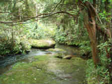
Walk through native bush and forest to a waterfall.
The route
From the Old SH 1 / Twin Coast Discovery Highway car park, the track drops down to the Pohuehue Stream and into native forest to a track junction. Follow the signs left at the junction to take the Waterfall Track alongside the stream. A side track leads to Pohuehue falls and a lookout. Return to the car park from here or continue on the Beverley Price Loop Track.
Source: DOC Te Papa Atawhai.
Nearby stops
Remiger Bush Campsite
Auckland • 5.9 km
Mita Bay Campground
Auckland • 8.1 km
Mita Bay Campground is a campsite located in the Auckland region. The provided records do not include specific details about facilities or amenities.
Sunburst Reserve Self Contained camping
Auckland • 8.3 km
Sunburst Reserve Self Contained camping is a campsite located in the Auckland region. The site offers self contained facilities for visitors.
Sullivans Bay Campground
Auckland • 8.8 km
Sullivans Bay Campground is a campsite located in the Auckland region. The available records do not provide specific details regarding facilities, capacity, or…
Big Bay Bach
Auckland • 9.2 km
Walks nearby
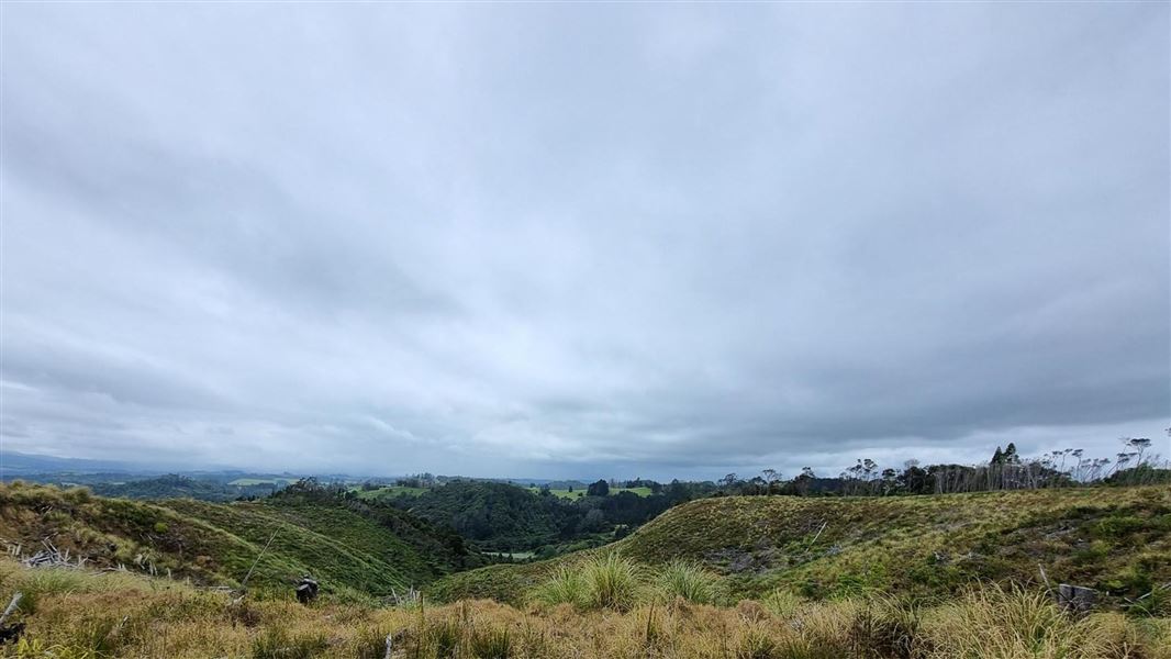
Beverley Price Loop Track
Advanced • 2 hr • 6 km • 0.59 km away
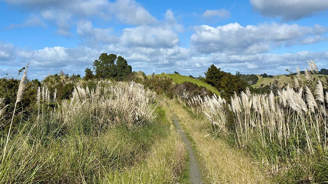
Puhoi to Remiger Road Track
Intermediate • 2 hr one way • 5 km • 5.31 km away
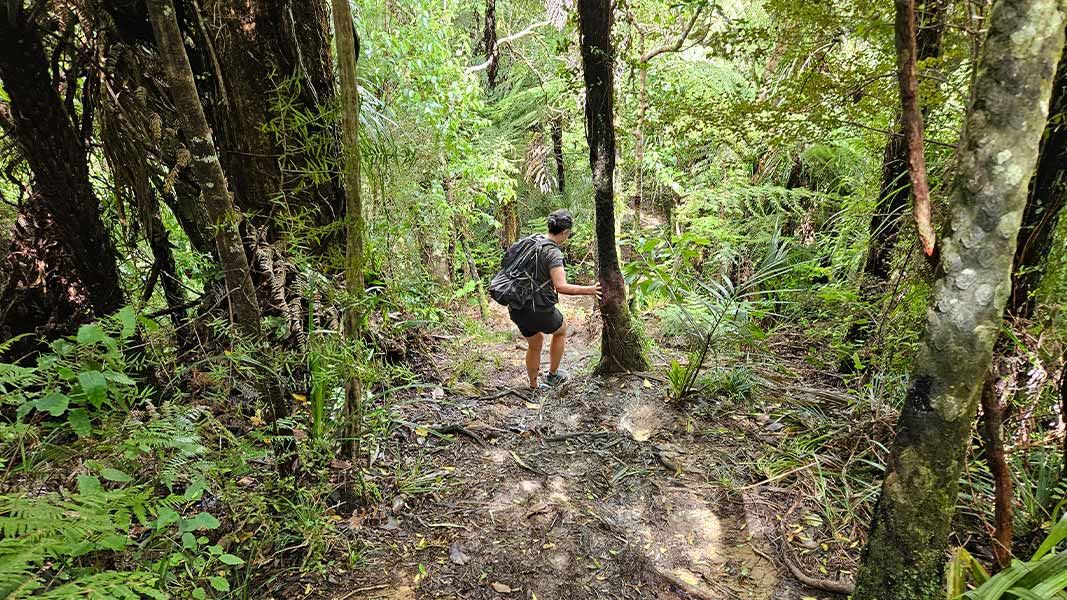
Dome Forest car park to Waiwhiu Grove
Advanced • 1 hr 30 min one way • 3 km one way • 10.54 km away
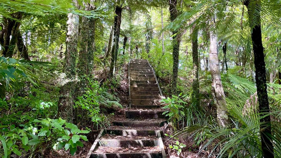
Dome Forest car park to lookout
Easy • 40 min one way • 1 km to lookout one way • 10.87 km away
Dome Forest car park to Govan Wilson Rd, Matakana
Advanced • 7 hr one way • 14 km to Govan Wilson Road • 12.19 km away
Notes from people who have been
No notes yet. If you have been, say what you found.
Something missing or out of date?
Closed, moved, wrong facts, or something we have missed? Travellers keep the Road Guide up to date. Tell us what you found at contribute@parkup.nz and we will check it and add it.
Ask us to take this down
A person reads every request. We do not remove a place until we have checked it.
Sources
- DOC Tracks (API) · CC BY 4.0Crown Copyright: Department of Conservation Te Papa Atawhai. Data sourced from the DOC Developer Portal (api.doc.govt.nz).