Waipohatu Waterfalls Track
WalkSouthlandOpen
- Grade
- Advanced
- Walking time
- 3 hr
- Distance
- 6.5 km
- Route
- Loop
- Dogs
- On a lead
Getting there
We have not checked a road end or car park for this place yet, so we do not give driving directions to it. Check how to get there before you go. Some routes cross private land and need the landowner's permission.
How to get there, on doc.govt.nzFrom SH1 in Invercargill travel 70 km south-west for approximately one hour. Follow Southern Scenic Route, Fortrose-Otara Road and Otara-Haldane Road to Tokanui-Haldane Road in Tokanui.
Continue on Tokanui-Haldane Road. Drive to Waipohatu Road. Follow gravel road for 1 km into the carpark.
Source: DOC Te Papa Atawhai.
Map
Map data © OpenStreetMap contributors. Topo map: LINZ, CC BY 4.0. 46.60345° S, 169.01904° E
About this place
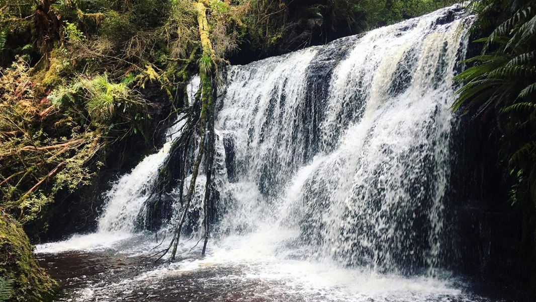
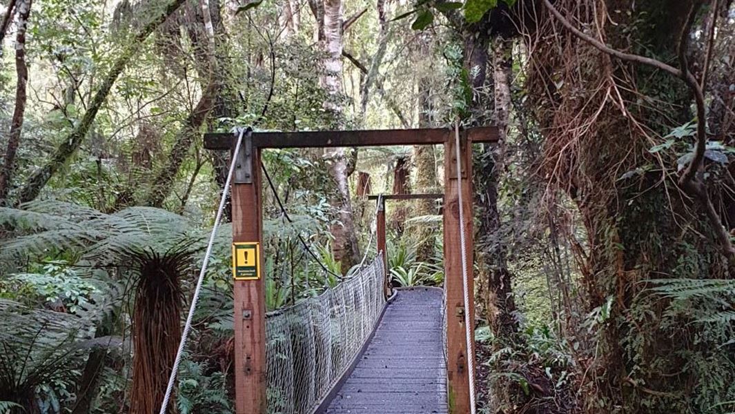
This is a rugged tramping track through rainforest up to two waterfalls. This track connects to Forest Walk Track.
The route
This track is connected to the Forest Walk which brings you out at a second car park area where you can choose to progress to the Waipohatu Waterfalls Track. The waterfall track climbs through stunning rain forest up to two breath-taking falls and back down through the bush to the picnic area.
Source: DOC Te Papa Atawhai.
Nearby stops
Walks nearby

Notes from people who have been
No notes yet. If you have been, say what you found.
Something missing or out of date?
Closed, moved, wrong facts, or something we have missed? Travellers keep the Road Guide up to date. Tell us what you found at contribute@parkup.nz and we will check it and add it.
Ask us to take this down
A person reads every request. We do not remove a place until we have checked it.
Sources
- DOC Tracks & Trails · CC BY 4.0Data sourced from the Department of Conservation (DOC), New Zealand.
- DOC Tracks (API) · CC BY 4.0Crown Copyright: Department of Conservation Te Papa Atawhai. Data sourced from the DOC Developer Portal (api.doc.govt.nz).