Waikaia River Track
WalkSouthland
- Grade
- Advanced
- Walking time
- 4 hr
- Distance
- 7 km
- Dogs
- DOC permit only
Getting there
We have not checked a road end or car park for this place yet, so we do not give driving directions to it. Check how to get there before you go. Some routes cross private land and need the landowner's permission.
How to get there, on doc.govt.nzWaikaia is situated 54 km north of Gore beside the Waikaia River.
Source: DOC Te Papa Atawhai.
Map
Map data © OpenStreetMap contributors. Topo map: LINZ, CC BY 4.0. 45.54148° S, 169.03891° E
About this place
This backcountry route is suitable for experienced trampers. It is partially closed due to track damage.
The route
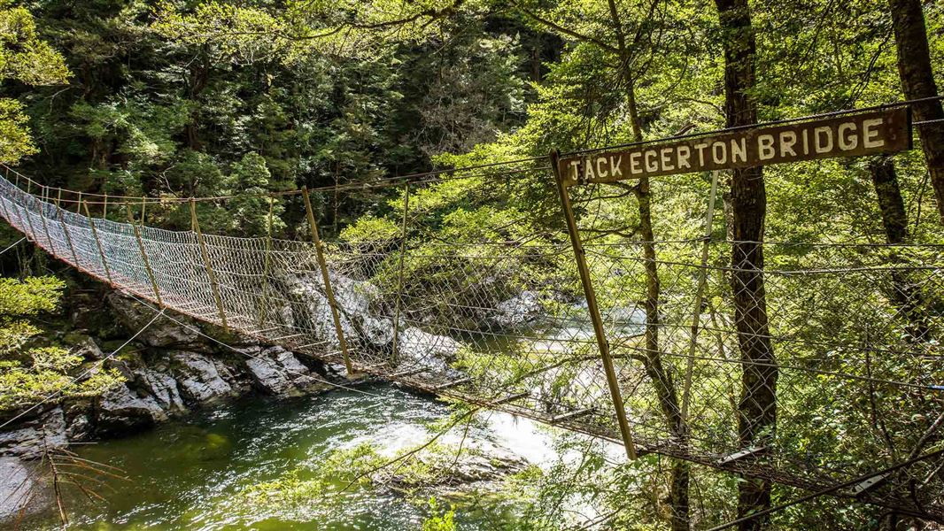
This is a backcountry route and should only be attempted by suitably equipped, experienced walkers. It follows up the true right of the river, crosses a swing bridge and returns along the opposite bank and along the road. Due to extensive damage, the track is closed between Jack Edgerton Bridge and the Titans Rocks junction. These sections are open:
Source: DOC Te Papa Atawhai.
Nearby stops

Piano Flat Campsite
Standard • Southland • 2.8 km
Piano Flat Campsite is a riverside campsite located in a farmland area in Southland. It serves as a base for walks, tramps, horse riding, biking, and 4WD…
BBQ • Fire pit/place for campfires (except in fire bans) • Non-powered/tent sites
Titan Hut
Southland • 5.1 km
Bush Huts
Southland • 6.2 km
Black Hut
Southland • 8.1 km
Black Hut is a backcountry hut located in the Southland region of New Zealand. It provides basic accommodation for hikers and tramps exploring the area.
Blue Lake Huts
Southland • 10.4 km
Notes from people who have been
No notes yet. If you have been, say what you found.
Something missing or out of date?
Closed, moved, wrong facts, or something we have missed? Travellers keep the Road Guide up to date. Tell us what you found at contribute@parkup.nz and we will check it and add it.
Ask us to take this down
A person reads every request. We do not remove a place until we have checked it.
Sources
- DOC Tracks (API) · CC BY 4.0Crown Copyright: Department of Conservation Te Papa Atawhai. Data sourced from the DOC Developer Portal (api.doc.govt.nz).