Venus Hut
Standard hutKahurangi National Park, West CoastOpen
- Sleeps
- 12 bunks
- Booking
- Not bookable
- Cost
- from $15
- Heating
- Yes
- Drinking water
- Boil first
- Toilet
- Non-flush
Getting there
We have not checked a road end or car park for this place yet, so we do not give driving directions to it. Check how to get there before you go. Some routes cross private land and need the landowner's permission.
How to get there, on doc.govt.nz- Topo map
- Topo50 sheet BQ23
- Grid reference
- E1553085, N5425941
Source: DOC Te Papa Atawhai.
Map and tracks
Track lines: DOC Te Papa Atawhai. Map data © OpenStreetMap contributors. Topo map: LINZ, CC BY 4.0. 41.31662° S, 172.43932° E
About this place
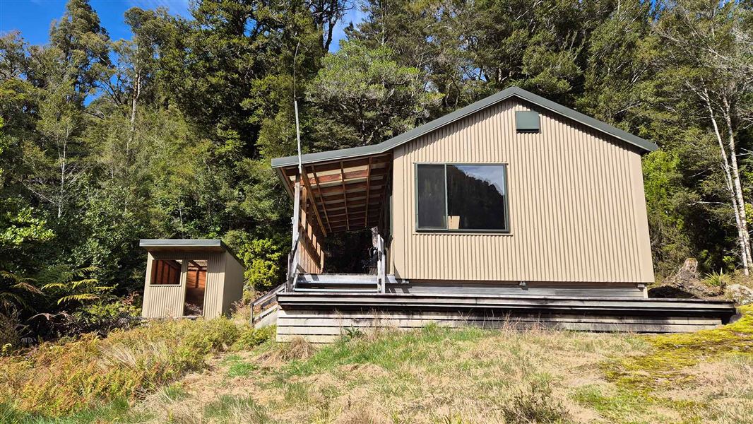
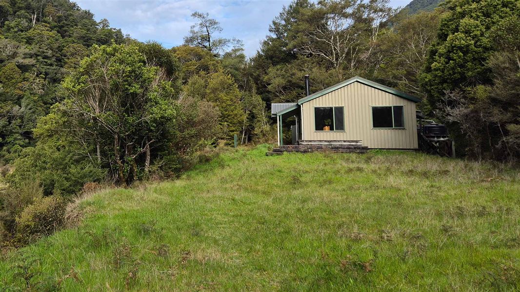
This is a standard 12-bunk hut in the Motueka area.
On the way here
Leslie-Karamea Track · 6 to 9 days one way
Leslie-Karamea Track description
Time: 3 hr 30 min
13.2 km From the car park at the road end (36 km from Motueka), the track leads over Flora Saddle, past Flora Hut and up to Salisbury Lodge on the Tablelands. Just beyond the lodge is the sign where the Leslie-Karamea track itself begins. km From the Leslie-Karamea Track sign, a line of poles runs to the bush edge at the top of Leslie Hill and begins descending to the Leslie River. After about one hour downhill, Splugeons Rock Shelter is reached. Beyond the shelter the track drops steeply to the Leslie River, crossing via a swingbridge. It then follows the true left bank down to Karamea Bend Hut. 9.7 km The track heads up the Karamea River on the true right bank, crossing Slippery Creek and a clearing, the Little Backwash and the Big Backwash. Just over the Crow River swingbridge is Crow Hut. When the Karamea River is low, it is possible to follow the riverbed from Karamea Bend almost to the Crow. 5.9 km The track continues on the true right bank for about one hour to a bridge across the Karamea River. Across on the left bank the track sometimes scrambles around the riverside but mostly stays on forested terraces alongside the river to Venus Hut. 5.7 km This section follows the river terraces, sometimes merging with the riverside and riverbed. Mercury Creek, about 30 minutes above Venus Hut, is a major side stream spanned by a swingbridge. Near Atlas Creek the track hugs the cliffs above the river and is fairly narrow. Thor Hut is just across Thor Creek, on the edge of a slip caused by the 1929 Murchison Earthquake. 9.5 km Upriver from Thor Hut the track climbs and makes a long sidle, crossing several earthquake-triggered slips where care is needed. One of these slips, which came down Apollo Creek from Mt Kendall (1762m), dammed the Karamea River forming Moonstone Lake. The lake backs up for almost three kilometres and some of the trees drowned during its formation still stand as naked trunks. At the head of the lake continue on the true left of the Karamea River to Kendall Creek, which divides into several streams near its mouth and is dangerous when in flood. The track rounds a granite spur and crosses a grassy flat to the old Trevor Carter Hut site (hut removed in 2003). Cross the swingbridge onto the true right of the Karamea River and walk downstream for 15 minutes to Trevor Carter Hut. When the Karamea River is running low, an alternative track is signposted to Trevor Carter Hut on the main track before reaching Kendall Creek.
Source: DOC Te Papa Atawhai.
Trip options
Walking times come from DOC track descriptions, added up leg by leg from car-accessible trailheads. Nights and return times are ParkUp estimates, allowing about 8 hours of walking a day.
2 options · 2 to 5 nights
Flora car park
Walking in
16 hr (via Karamea Bend Hut, Crow Hut)
Walking out
16 hr to Flora car park (via Karamea Bend Hut, Crow Hut)
Walking in
16 hr (via Karamea Bend Hut, Crow Hut)
Walking out
25 hr 45 min to Karamea Bend Hut (via Thor Hut, Trevor Carter Hut, Helicopter Flat Hut)
Source: DOC Te Papa Atawhai track descriptions.
Fees and bookings
Before you go, buy Hut Tickets for each night's stay. Put these in the honesty box at the hut. Or buy a Backcountry Hut Pass that gives unlimited use at most Standard and Serviced huts for a 12 month period. Retailers that sell hut tickets and passes
Source: DOC Te Papa Atawhai.
On these tracks
Source: DOC Te Papa Atawhai.
Nearby stops
Crow Hut
Standard • 12 bunks • West Coast • 3.6 km
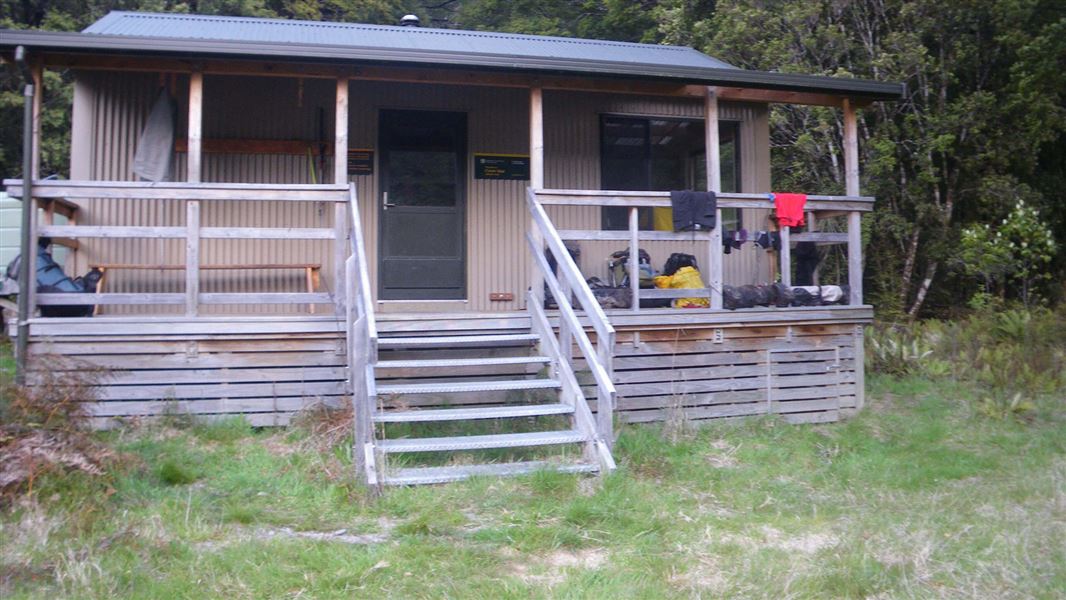
Crow Hut is a standard 12-bunk hut located in the Motueka area.
Heating • Mattresses • Toilets - non-flush
Thor Hut
Basic/bivvies • 6 bunks • West Coast • 4 km
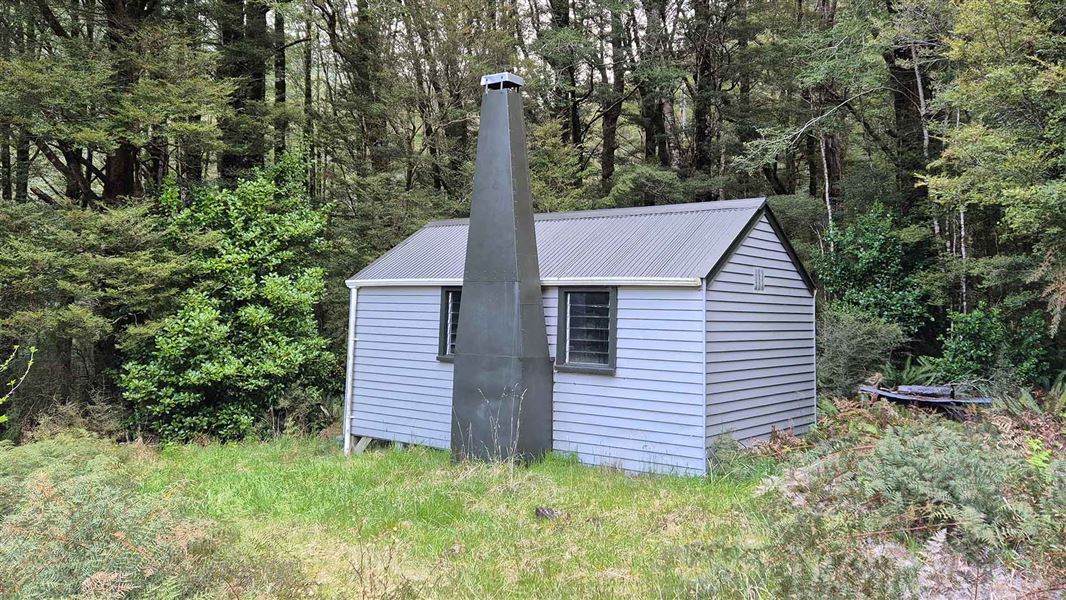
Thor Hut is a basic six-bunk hut located in the Motueka area of the Nelson/Tasman region.
Heating • Mattresses • Toilets - non-flush
Trevor Carter Hut
Standard • 12 bunks • West Coast • 9.9 km
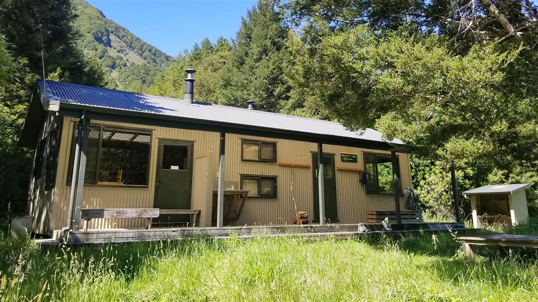
Trevor Carter Hut is a standard 12-bunk hut located in the Motueka area of the Nelson/Tasman region.
Heating • Mattresses • Toilets - non-flush
Karamea Bend Hut
Standard • 22 bunks • West Coast • 11.1 km
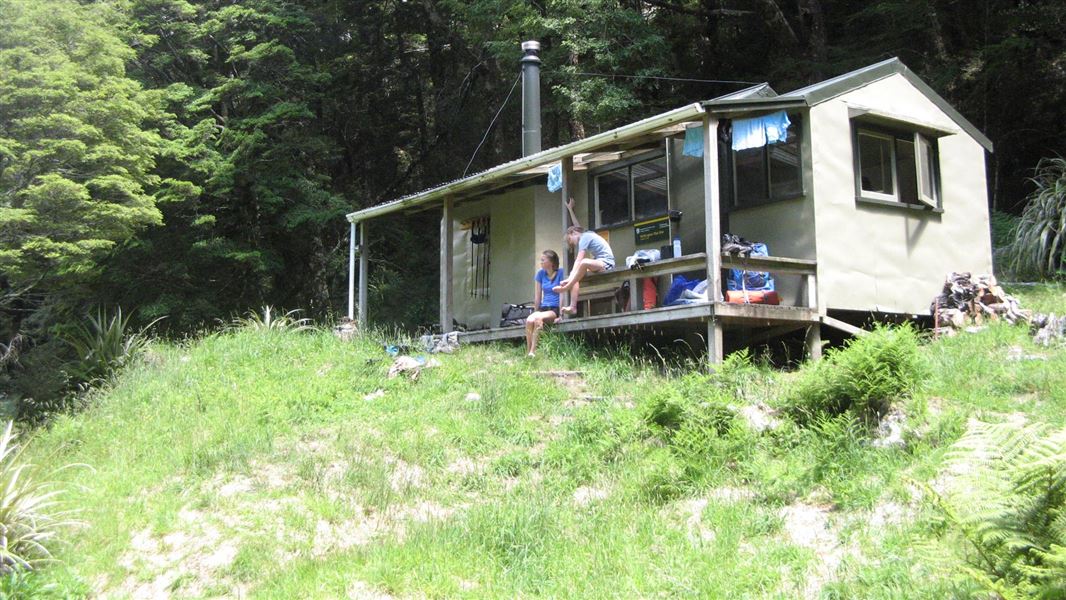
Karamea Bend Hut is a standard 22-bunk hut located in the Motueka area.
Heating • Mattresses • Toilets - non-flush
Helicopter Flat Hut
Standard • 10 bunks • West Coast • 12.8 km
Helicopter Flat Hut is a standard 10-bunk hut located in the Motueka area.
Heating • Mattresses • Toilets - non-flush
Walks nearby
Contact
Nelson/Tasman/Marlborough information
Regional DOC service centre.
Notes from people who have been
No notes yet. If you have been, say what you found.
Something missing or out of date?
Closed, moved, wrong facts, or something we have missed? Travellers keep the Road Guide up to date. Tell us what you found at contribute@parkup.nz and we will check it and add it.
Ask us to take this down
A person reads every request. We do not remove a place until we have checked it.
Sources
- DOC Huts · CC BY 4.0Data sourced from the Department of Conservation (DOC), New Zealand.
- DOC Huts (API) · CC BY 4.0Crown Copyright: Department of Conservation Te Papa Atawhai. Data sourced from the DOC Developer Portal (api.doc.govt.nz).
- OpenStreetMap Huts · ODbL (Open Database License)Contains information from OpenStreetMap, made available under the ODbL.