Tinpot Hut
HutMarlborough
Getting there
We have not checked a road end or car park for this place yet, so we do not give driving directions to it. Check how to get there before you go. Some routes cross private land and need the landowner's permission.
Map
Map data © OpenStreetMap contributors. Topo map: LINZ, CC BY 4.0. 41.64089° S, 173.87463° E
Got a good photo of this place? Send it to us and we will show it with your name.
We only have the basics for this place so far: its name, its type and where it is.
Been here? Tell us what you found at contribute@parkup.nz and we will add it.
Nearby stops
Blairich Recreation Reserve
Marlborough • 7.3 km
Blairich Recreation Reserve is beside Awatere Valley Road, about 12 km northwest of Seddon. Certified self-contained vehicles may stay up to two nights in any…
Beehive Hut
Marlborough • 8.5 km
Taylor Dam Reserve Upper Level (Blenheim)
Marlborough • 9.1 km
Taylor Dam Reserve Upper Level is off Taylor Pass Road, about 7 km south of Blenheim. Up to 10 certified self-contained vehicles may stay for two nights in any…
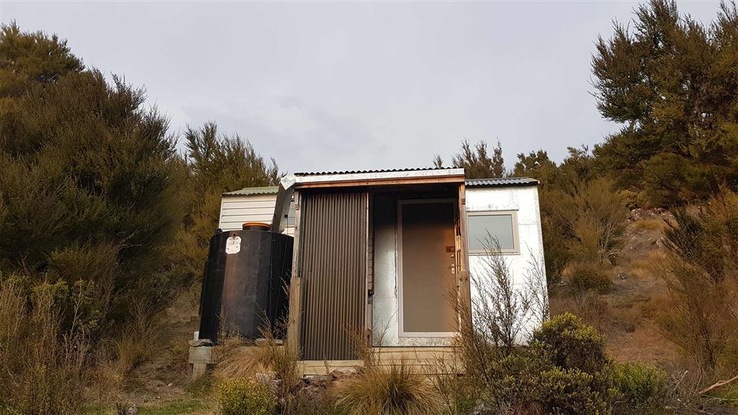
Black Birch Bivvy
Basic/bivvies • 2 bunks • Marlborough • 9.7 km
Black Birch Bivvy is a basic two-bunk hut located in the South Marlborough area. It provides simple shelter for hikers in the region.
Mattresses • Toilets - non-flush • Water from tap - not treated, boil before use
Ramshead Hut
Marlborough • 10.4 km
Notes from people who have been
No notes yet. If you have been, say what you found.
Something missing or out of date?
Closed, moved, wrong facts, or something we have missed? Travellers keep the Road Guide up to date. Tell us what you found at contribute@parkup.nz and we will check it and add it.
Ask us to take this down
A person reads every request. We do not remove a place until we have checked it.
Sources
- OpenStreetMap Huts · ODbL (Open Database License)Contains information from OpenStreetMap, made available under the ODbL.