Thomas River Track
WalkCanterburyOpen
- Grade
- Intermediate
- Walking time
- 30 min
- Distance
- 2 km
- Dogs
- Under control
Getting there
We have not checked a road end or car park for this place yet, so we do not give driving directions to it. Check how to get there before you go. Some routes cross private land and need the landowner's permission.
How to get there, on doc.govt.nzYou can start this track from Water Intake Road, reached by walking from Thomas Bush car park. The carpark is located about 200 m beyond the end of the Castle Hill village (houses) on Castle Hill Drive.
It can also be started from Trelissick Loop Rd.
Source: DOC Te Papa Atawhai.
Map
Map data © OpenStreetMap contributors. Topo map: LINZ, CC BY 4.0. 43.20656° S, 171.70764° E
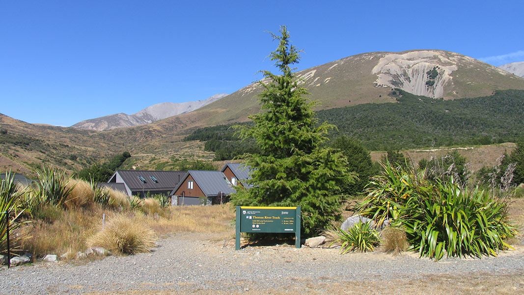
About this place
From the Water Intake Road to Castle Hill Village
The route
From the carpark, follow the gravel road (Water Intake Road) for 850 m, keeping right at the road fork. The road slowly descends to the Thomas River and the track starts in the small clearing beside the river. Cross the river if it is safe to do so. However, this river can rise extremely rapidly during rainfall, not to attempt to cross it if the river is running high or discoloured. The track immediately turns left, following the forested lower river terrace downstream. The track crosses the St Andrews College Lodge Rd after 550 m. The track then continues along the higher river terrace for 500 m, then meeting the Leith Hill Loop track junction. From here, descend the steep zig zag track to the river, crossing it, then climb up another step zig zag on the other side that leads into Castle Hill Village. The track ends at Trelissick Loop Rd. Turn left and walk 220 m to Castle Hill Drive, turn left again and walk 300 m to return to the carpark.
Source: DOC Te Papa Atawhai.
Know before you go
Be careful when crossing unbridged streams/rivers
There are unbridged crossings of Thomas River on this track. The river can rise fast during wet weather. Do not cross if the river is running high or is discoloured. A bridge crossing is available on the St Andrews College road; it can be accessed half way along the Thomas River track. From here it is 300 m back to the Thomas Bush carpark.
Be ready for alpine weather
This is an alpine area and people should be prepared for extremes of weather. Always check the forecast before you go. Weather forecasts for Mt Cheeseman and Canterbury High Country Carry warm layers, a waterproof raincoat and sun protection. Find packing lists here.
Expect wasps, especially in summer and early autumn
Wasp populations reach high numbers from January to March – wear light coloured clothing and carry antihistamine cream/tablets as a precaution.
Shared use area
This track is used by walkers and mountain bikers – be respectful of other users. Mountain bikers should go slow and be ready to encounter walkers.
Source: DOC Te Papa Atawhai.
Nearby stops
Environmental Education Centre
Canterbury • 6.1 km
The Environmental Education Centre is a hut located in the Canterbury region. No further details about its facilities or specific location are available in the…
Holloway Lodge
Canterbury • 6.3 km
Holloway Lodge is a hut located in the Canterbury region. The provided records do not include further details about its facilities or location.

Mistletoe Flats Campsite
Standard • Canterbury • 6.4 km
Mistletoe Flats Campsite is located in Canterbury, set within a landscape of beech forest, tussock, and rugged mountains. The area offers nearby mountain…
Non-powered/tent sites • Shelter for cooking • Water from tap - not treated, boil before use
Porters Ski Lodge
Canterbury • 8.5 km
Porters Lodge Camp Sites
Canterbury • 8.6 km
Porters Lodge Camp Sites is a campsite located in the Canterbury region. No further details about facilities or amenities are available in the provided records.
Walks nearby
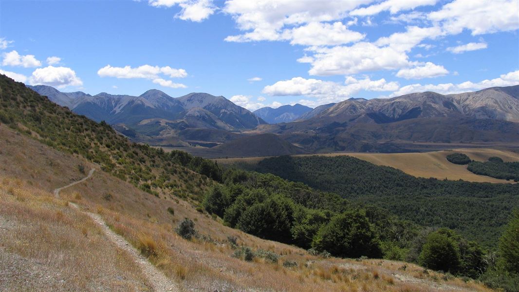
Leith Hill Loop Track
Advanced • 2 hr • 5 km • 0.24 km away
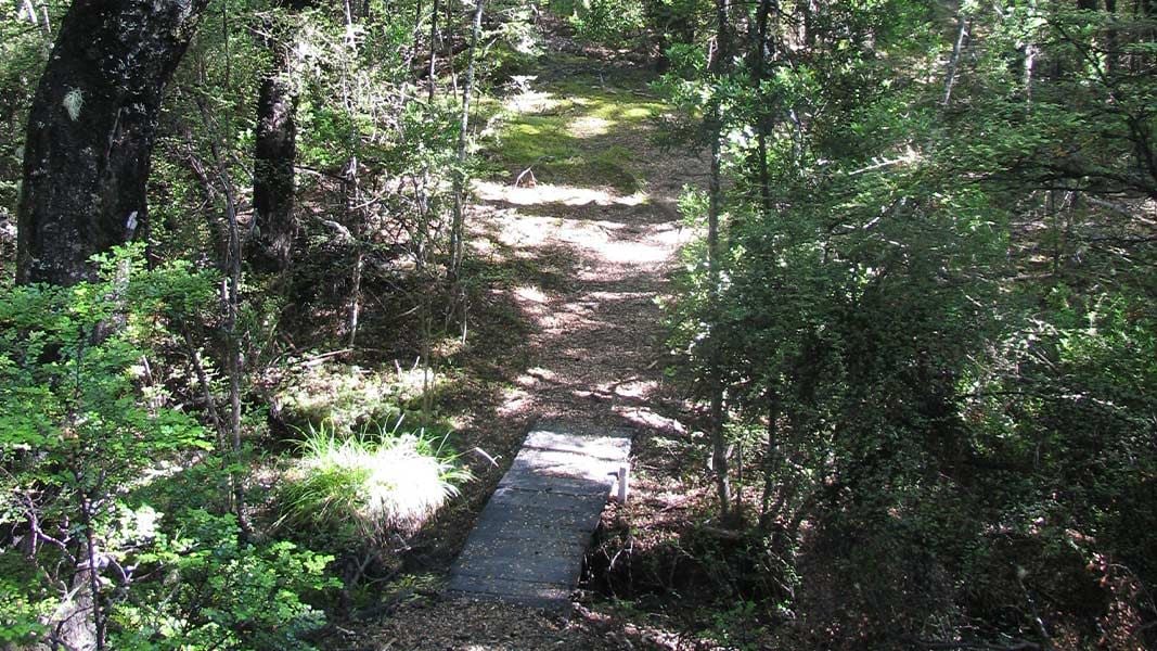
Water Intake Track
Advanced • 10 min • 500 m • 0.84 km away
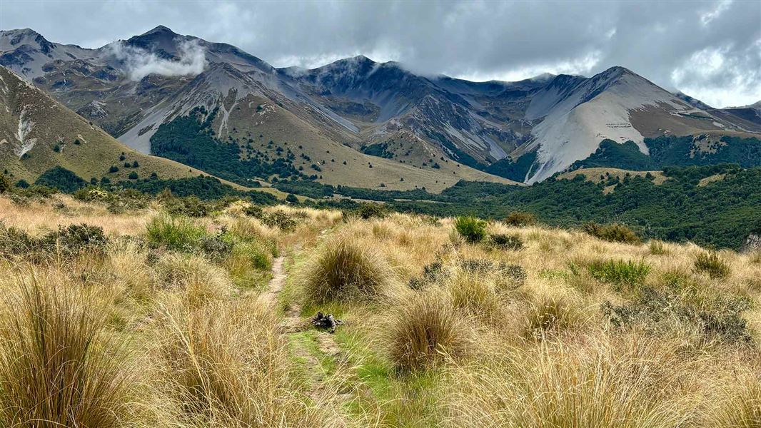
Hogs Back Track (Easy Up Track and Descent Track)
Intermediate • 2 hr 30 min • 7.4 km • 2.2 km away
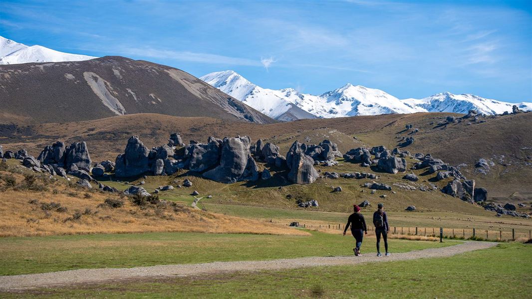
Kura Tāwhiti Access Track
Easiest • 40 min • 1.7 km • 2.89 km away
Lookout Walk
Short walk • 3.05 km away
Notes from people who have been
No notes yet. If you have been, say what you found.
Something missing or out of date?
Closed, moved, wrong facts, or something we have missed? Travellers keep the Road Guide up to date. Tell us what you found at contribute@parkup.nz and we will check it and add it.
Ask us to take this down
A person reads every request. We do not remove a place until we have checked it.
Sources
- DOC Tracks (API) · CC BY 4.0Crown Copyright: Department of Conservation Te Papa Atawhai. Data sourced from the DOC Developer Portal (api.doc.govt.nz).
- DOC Tracks & Trails · CC BY 4.0Data sourced from the Department of Conservation (DOC), New Zealand.