Te Matua Ngahere Walk
WalkNorthlandOpen
- Grade
- Easiest
- Walking time
- 20 min
- Distance
- 730 m
- Dogs
- DOC permit only
Getting there
We have not checked a road end or car park for this place yet, so we do not give driving directions to it. Check how to get there before you go. Some routes cross private land and need the landowner's permission.
How to get there, on doc.govt.nzTe Matua Ngahere Walk is located in Waipoua Forest on SH12. It is accessed from the Kauri walks car park. It is 4 km / 3 min drive from the Tane Mahuta car park. The southern township of Dargaville is 61 km away and the northern township of Omapere is 21 km.
From the car park, you will see a sign for the three walks 'Te Matua Ngahere', 'Four Sisters', and 'Yakas Kauri'. Note: Four Sisters and Yakas Kauri walks are currently closed.
A track meanders through native bush and brings you to a central point from which you can access Te Matua Ngahere Walk. From here is very well sign posted and located directly in the middle of this open space.
Source: DOC Te Papa Atawhai.
Map
Map data © OpenStreetMap contributors. Topo map: LINZ, CC BY 4.0. 35.60851° S, 173.53268° E
About this place
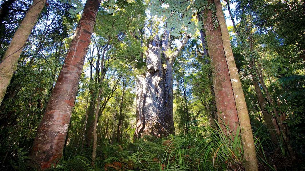
View the second largest living kauri in New Zealand, Te Matua Ngahere - it's a good option for kids. It is open 9 am to 4 pm daily.
The route
A 20-minute walk leads you to 'Te Matua Ngahere' (Father of the Forest) – the second largest living kauri tree in New Zealand. You can admire the tree on a viewing platform without damaging its sensitive root systems. It is very important that you keep to the walking track at all times. Kauri trees have very sensitive surface roots, and foot traffic around the trees endangers their life span.
Open 9 am to 4 pm
The gate to the track is locked when the track is closed.
Te Matua Ngahere
Te Matua Ngahere is the oldest out of the two largest living kauri trees and is estimated to exceed 2,000 years. He was discovered by Nicholas Yakas in 1928 when he and other men were working to build the road that is now known as SH12. Measurements:
Source: DOC Te Papa Atawhai.
Nearby stops
Waipoua Forest Campground & Accommodation
Northland • 5.2 km
Waipoua Forest Campground and Accommodation is a campsite located in Northland. The site provides camping facilities within the Waipoua Forest area.

Frampton's Hut
Standard • 6 bunks • Northland • 12 km
Frampton's Hut is a six-bunk standard hut located in the Waimā Forest in Northland.
Toilets - non-flush • Water from tap - not treated, boil before use • Water supply

Trounson Kauri Park Campground
Serviced • Northland • 16.6 km
Trounson Kauri Park Campground is a serviced campsite located in the Kauri Coast area of Northland. It offers the chance to camp beside a small kauri stand,…
Cookers/electric stove • Non-powered/tent sites • Powered sites
Opononi Beach Holiday Park
Northland • 17 km
Opononi Beach Holiday Park is a campsite located in Northland. It offers accommodation for visitors in the Opononi area.
Walks nearby
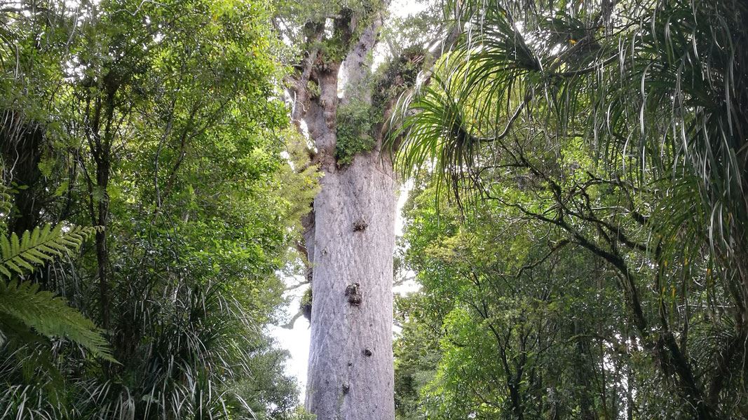
Tāne Mahuta Walk
Easiest • 5 min one way • 166 m one way • 1 km away
Taita Bridle Track
Advanced • 2 hr one way • 4.6 km • 7.77 km away
Waimā Main Range Track
Advanced • 10 hr one way • 16.8 km • 8.6 km away
Wekaweka Track
Advanced • 2 hr one way • 5 km one way • 9.23 km away
Waoku Coach Road Track
Advanced • 12 hr one way • 27.5 km one way • 10.17 km away
Notes from people who have been
No notes yet. If you have been, say what you found.
Something missing or out of date?
Closed, moved, wrong facts, or something we have missed? Travellers keep the Road Guide up to date. Tell us what you found at contribute@parkup.nz and we will check it and add it.
Ask us to take this down
A person reads every request. We do not remove a place until we have checked it.
Sources
- DOC Tracks & Trails · CC BY 4.0Data sourced from the Department of Conservation (DOC), New Zealand.
- DOC Tracks (API) · CC BY 4.0Crown Copyright: Department of Conservation Te Papa Atawhai. Data sourced from the DOC Developer Portal (api.doc.govt.nz).