Te Kuri Farm Walkway
WalkGisborneOpen
- Grade
- Easy
- Walking time
- 3 hr
- Distance
- 5.6 km
- Route
- Loop
- Dogs
- No dogs
Getting there
We have not checked a road end or car park for this place yet, so we do not give driving directions to it. Check how to get there before you go. Some routes cross private land and need the landowner's permission.
How to get there, on doc.govt.nzTake care driving Shelley Road to access Te Kuri Walkway car park. This road has large deep pot holes that could damage vehicles. Two-wheel drive vehicles may get stuck and need assistance to get out. The last section of the road is gravel.
The walkway is signposted from the Ballance Street/Ormond Road corner of Gisborne City. Visitors can drive straight to the start of the walkway at the end of Shelley Road, where there is a large carpark and a picnic area.
Two-wheel drive cars take care of pot holes
Take care driving Shelley Road to access Te Kuri Walkway car park. This road has large deep pot holes that could damage vehicles. Two-wheel drive vehicles may get stuck and need assistance to get out. The last section of the road is gravel.
Source: DOC Te Papa Atawhai.
Map
Map data © OpenStreetMap contributors. Topo map: LINZ, CC BY 4.0. 38.63653° S, 178.03934° E
About this place
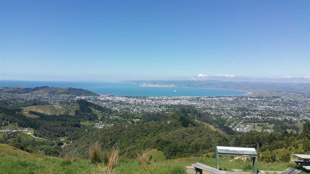
Enjoy panoramic views from various points on this track, as well as from a lookout point at the top (290 m).
The route
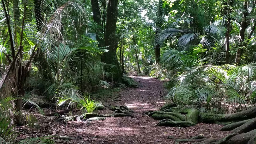
Te Kuri Farm Walkway is located on a private farm on the northern outskirts of Gisborne. The walkway has a well defined track that is suitable for people with average physical fitness. It is a 2-3 hour loop that can be walked in either direction. The walkway initially passes through areas of flat farmland before steadily climbing 230 metres to a lookout point (Town Hill, 290 metres). There is a steady climb up to this lookout, and the view it gives of the Poverty Bay flats is well worth the effort. A special feature of the walk is the panoramic views which can be seen from various points along the route. There is one notable area of remnant, semi-coastal forest of a type once common on the foothills of the Poverty Bay Flats. The bush in the gullies is dominated by puriri, kohekohe and mahoe, while the ridges and slopes are clothed in kanuka, forest and blackwood plantations. Elsewhere radiata pine is the dominant species. The bush provides a home for a number of forest birds such as tui, kereru (native wood pigeon), owl (ruru), grey warbler (riroriro) and fantails (piwakawaka). On a clear day from the Town Hill lookout, visitors can see as far south as Mahia Peninsula and as far west as Maungapohatu on the eastern fringes of Te Urewera.
Source: DOC Te Papa Atawhai.
Know before you go
Pot holes
Take care driving Shelley Road to access Te Kuri Walkway car park. This road has large deep pot holes that could damage vehicles. Two-wheel drive vehicles may get stuck and need assistance to get out. The last section of the road is gravel.
Source: DOC Te Papa Atawhai.
Nearby stops
Waikanae Beach Top 10 Holiday Park
Gisborne • 4.2 km
Waikanae Beach Top 10 Holiday Park is a campsite located in the Gisborne region. It is situated on the Waikanae Beach, offering a coastal setting for visitors.
Te Papa Puninga
Gisborne • 5.1 km
Te Papa Puninga is a campsite located in the Gisborne region. No further details about facilities or amenities are available in the provided records.
Kaiti Beach
Gisborne • 5.2 km
Kaiti Beach is on Kaiti Beach Road in Kaiti.
Makorori Carpark
Gisborne • 6.6 km
Tatapouri Holiday Park
Gisborne • 9.2 km
Tatapouri Holiday Park is a campsite located in the Gisborne region. The provided records do not include specific details regarding its facilities or amenities.
Walks nearby
Notes from people who have been
No notes yet. If you have been, say what you found.
Something missing or out of date?
Closed, moved, wrong facts, or something we have missed? Travellers keep the Road Guide up to date. Tell us what you found at contribute@parkup.nz and we will check it and add it.
Ask us to take this down
A person reads every request. We do not remove a place until we have checked it.
Sources
- DOC Tracks (API) · CC BY 4.0Crown Copyright: Department of Conservation Te Papa Atawhai. Data sourced from the DOC Developer Portal (api.doc.govt.nz).
- DOC Tracks & Trails · CC BY 4.0Data sourced from the Department of Conservation (DOC), New Zealand.