Stonehurst Track
WalkOtagoOpen
- Grade
- Advanced
- Walking time
- 10 hr
- Distance
- 13.5 km
- Route
- One way
- Dogs
- No dogs
Getting there
We have not checked a road end or car park for this place yet, so we do not give driving directions to it. Check how to get there before you go. Some routes cross private land and need the landowner's permission.
How to get there, on doc.govt.nzThis track can be accessed either from the southern end of Gladbrook Road near Middlemarch, or from a stile along the Old Dunstan Road near the north-eastern side of Loganburn Reservoir.
Source: DOC Te Papa Atawhai.
Map
Map data © OpenStreetMap contributors. Topo map: LINZ, CC BY 4.0. 45.53632° S, 170.00802° E
About this place
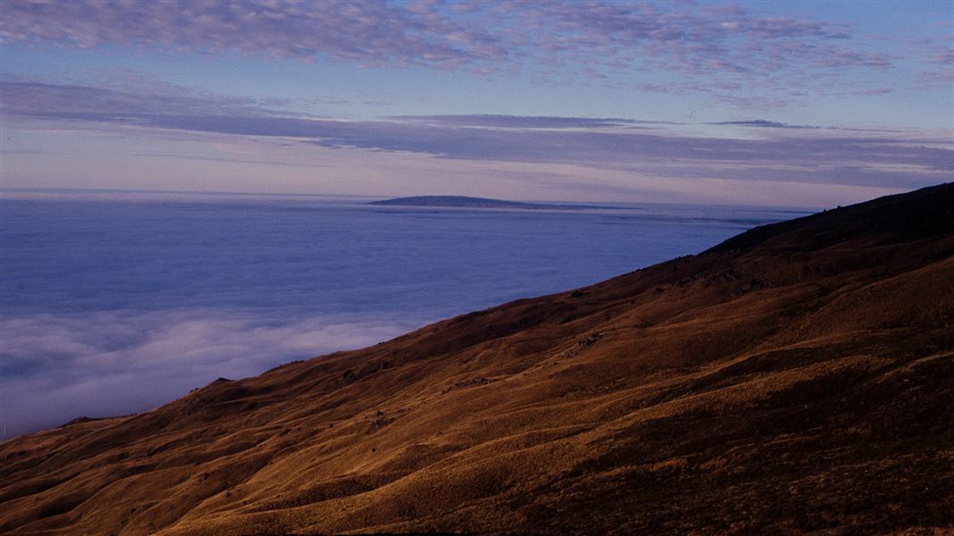
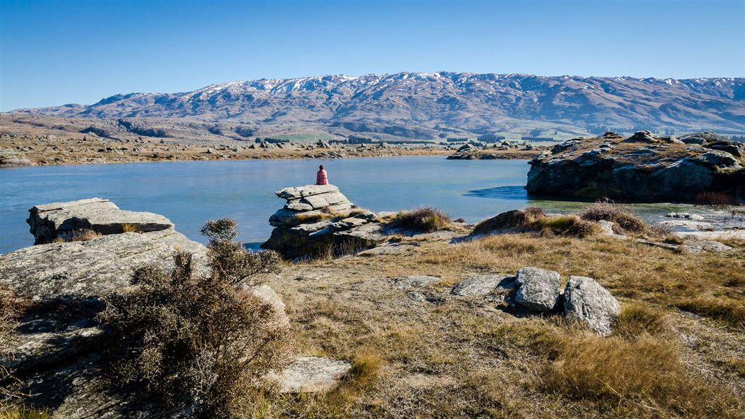
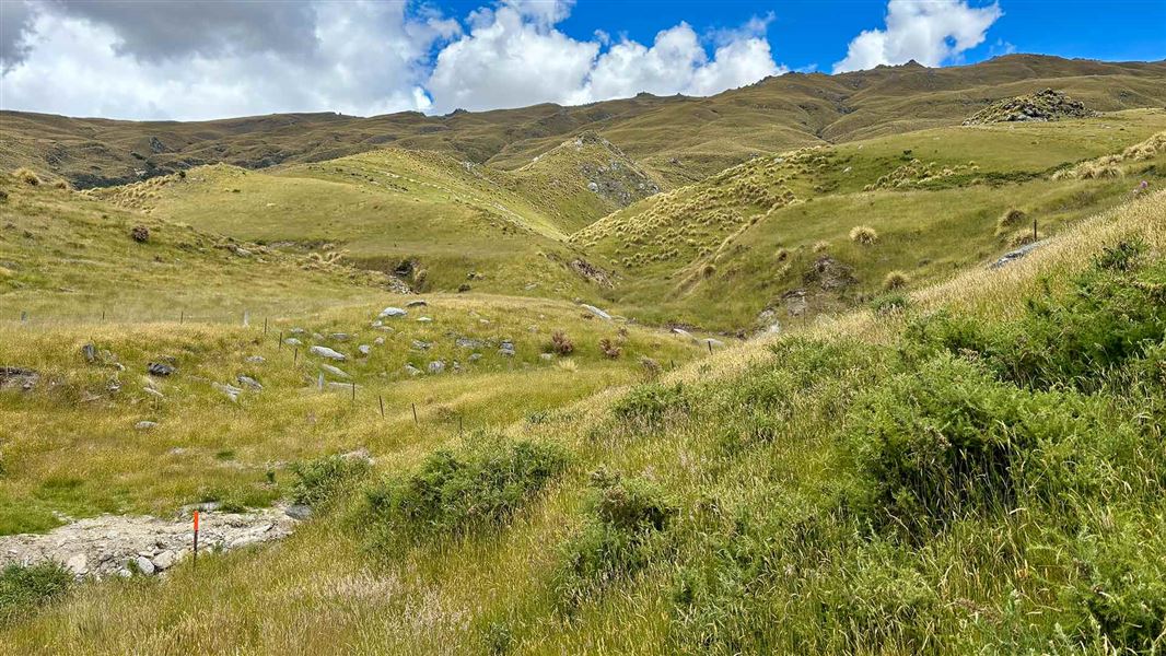
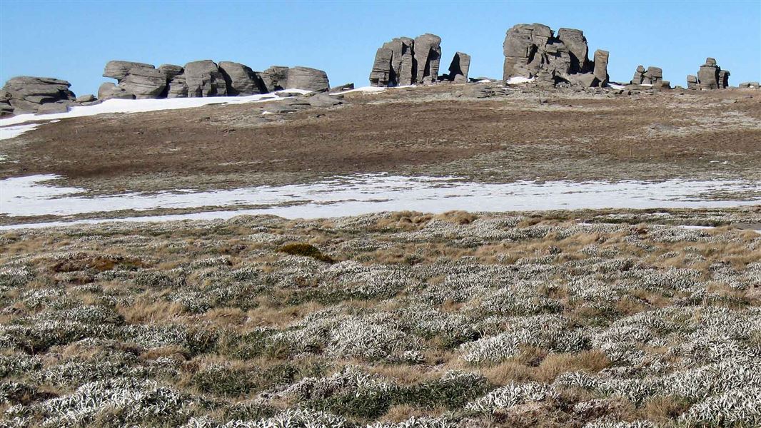
Go up and over the Rock and Pillar Range.
The route
The Stonehurst Track goes up and over the Rock and Pillar Range to link Gladbrook Road near Middlemarch to Old Dunstan Road near Loganburn Dam. The highest point of the track, at 1100 m above sea level, is located almost exactly midway but is quicker and easier to reach from Old Dunstan Road (800 m altitude) than from Gladbrook Road (250 m altitude).
Source: DOC Te Papa Atawhai.
Nearby stops
Howells Hut
Otago • 5.4 km
Howells Hut is a backcountry hut located in the Otago region of New Zealand. It provides basic accommodation for hikers and tramping parties exploring the…
Middlemarch Holiday Park
Otago • 9.7 km

Big Hut
Standard • 16 bunks • Otago • 12.3 km
Big Hut is a historic alpine hut located in the Coastal Otago region. It is owned and managed by Strath Taieri Agriculture & Rural Tourism (START).
Mattresses • Toilets - non-flush • Water from tap - not treated, boil before use
The Swamp Hut
Otago • 13.8 km
The Swamp Hut is a backcountry hut located in the Otago region of New Zealand. It serves as a shelter for hikers and campers in the area.
Leaning Lodge Hut
Otago • 14.4 km
Walks nearby
Notes from people who have been
No notes yet. If you have been, say what you found.
Something missing or out of date?
Closed, moved, wrong facts, or something we have missed? Travellers keep the Road Guide up to date. Tell us what you found at contribute@parkup.nz and we will check it and add it.
Ask us to take this down
A person reads every request. We do not remove a place until we have checked it.
Sources
- DOC Tracks (API) · CC BY 4.0Crown Copyright: Department of Conservation Te Papa Atawhai. Data sourced from the DOC Developer Portal (api.doc.govt.nz).
- DOC Tracks & Trails · CC BY 4.0Data sourced from the Department of Conservation (DOC), New Zealand.