Stella Hut
HutCanterbury
Getting there
We have not checked a road end or car park for this place yet, so we do not give driving directions to it. Check how to get there before you go. Some routes cross private land and need the landowner's permission.
Map
Map data © OpenStreetMap contributors. Topo map: LINZ, CC BY 4.0. 42.46636° S, 173.13945° E
Got a good photo of this place? Send it to us and we will show it with your name.
About this place
Stella Hut is a Department of Conservation hut located in the Canterbury region. It provides basic accommodation for tramping parties in the area.
Nearby stops
Cloudy Corner Hut
Marlborough • 8 km
Cloudy Corner Hut is a hut located in the Marlborough region of New Zealand. The provided data does not include further details regarding its specific…
Cloudy Hut
Marlborough • 10.3 km
Cloudy Hut is a backcountry hut located in the Marlborough region. It provides basic shelter for tramping parties exploring the surrounding terrain.
Middle Hut
Canterbury • 10.3 km
Middle Hut is a simple shelter located in the Canterbury region. It provides basic accommodation for outdoor travelers passing through the area.
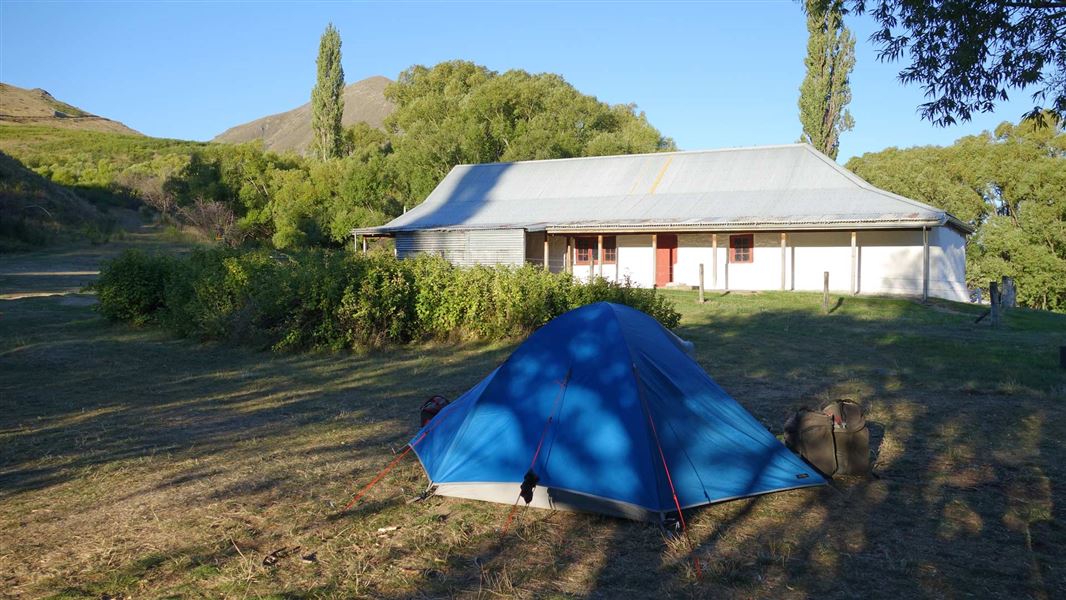
Acheron Accommodation House Campsite
Standard • Canterbury • 17 km
This campsite is located next to a historic cob building dating from 1863, which originally served as an overnight carriage stop.
Non-powered/tent sites • Water from tap - not treated, boil before use • Toilets - non-flush
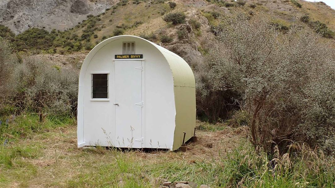
Palmer Bivvy
Basic/bivvies • 2 bunks • Canterbury • 17.4 km
Palmer Bivvy is a basic two-bunk hut located in the South Marlborough area.
Mattresses • Toilets - non-flush • Water from stream
Notes from people who have been
No notes yet. If you have been, say what you found.
Something missing or out of date?
Closed, moved, wrong facts, or something we have missed? Travellers keep the Road Guide up to date. Tell us what you found at contribute@parkup.nz and we will check it and add it.
Ask us to take this down
A person reads every request. We do not remove a place until we have checked it.
Sources
- OpenStreetMap Huts · ODbL (Open Database License)Contains information from OpenStreetMap, made available under the ODbL.