Staircase Hut
Basic/bivvies hutMoeraki area, OtagoOpen
- Sleeps
- 6 bunks
- Booking
- Can book
- Heating
- Yes
- Drinking water
- Boil first
- Toilet
- Non-flush
Getting there
We have not checked a road end or car park for this place yet, so we do not give driving directions to it. Check how to get there before you go. Some routes cross private land and need the landowner's permission.
How to get there, on doc.govt.nz- Topo map
- Topo50 sheet CC17
- Grid reference
- E1418093, N4981827
Source: DOC Te Papa Atawhai.
Map and tracks
Track lines: DOC Te Papa Atawhai. Map data © OpenStreetMap contributors. Topo map: LINZ, CC BY 4.0. 45.29325° S, 170.68014° E
About this place
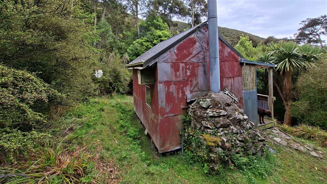
This is a basic six-bunk hut in the Coastal Otago area.
On the way here
Waianakarua Circuit Route · 11 hr as a circuit
Mt Misery Road Carpark to Staircase Hut via Tabletop
Time: 6 hrs
12.5 km Starting at the carpark on Mt Misery Road, follow the route downhill for 1.5 km to the Waianakarua River Middle Branch/and junction for the circuit route. Take care when wet as it is steep and slippery in places, particularly the final section to the river. Turn left at the river and continue on the riverbed downstream on the true left side for approximately 100 m, before markers indicate a crossing to the true right. The route takes you along the forested river terrace before leading you up the spur onto Tabletop. Take care as parts of this section are exposed to steep cliffs. Once on Tabletop the route is relatively flat and follows an historic farm track through regenerating kānuka/mānuka scrub and grassy clearings down to the old stock yards at Sweetwater creek. Follow markers through the stock yard clearing and cross the creek to head up onto the ridge to Staircase Hut .
Mt Misery Road Carpark to Staircase Hut via Staircase Ridge
Time: 5 hrs
8.5 km Starting at the carpark on Mt Misery Road, follow the route downhill for 1.5 km to the Waianakarua River Middle Branch/and junction for the circuit route. Take care when wet as it is steep and slippery in places, particularly the final section to the river. At the river, head upstream for approximately 500 m, sticking to the true right side. The route up the spur onto Staircase Ridge is marked with arrows on a large totara tree overhanging the riverbed. Follow the route along Staircase Ridge via Pt473 and Pt499 before eventually descending 'Staircase Spur' to Staircase Hut .
Source: DOC Te Papa Atawhai.
Trip options
Walking times come from DOC track descriptions, added up leg by leg from car-accessible trailheads. Nights and return times are ParkUp estimates, allowing about 8 hours of walking a day.
2 options · 1 night
Mt Misery Road Carpark
Walking in
6 hr
Walking out
5 hr to Staircase Hut via Staircase Ridge
Walking in
6 hr
Walking out
6 hr to Mt Misery Road Carpark
Source: DOC Te Papa Atawhai track descriptions.
Fees and bookings
This is a privately owned hut. To use it, contact: Pat Chave Phone: +64 3 465 1270 Mobile: +64 27 473 9158 Steve Joyce Phone: +64 3 465 0001 Mobile: + 64 21 552 203 Michael Blair Phone: +64 21 071 8180
Source: DOC Te Papa Atawhai.
On these tracks
Source: DOC Te Papa Atawhai.
Nearby stops
Kahikatea Lodge
6 bunks • Otago • 3 km
Red Hut
Otago • 4.6 km
Red Hut is a backcountry hut located in the Otago region. It provides basic shelter for tramping and mountain biking in the area.
Herbert Forest Camping Ground
Otago • 9.2 km
Herbert Forest Camping Ground is a campsite located in the Otago region of New Zealand. The provided data does not include specific details regarding available…

Glencoe Campsite
Standard • Otago • 9.5 km
Glencoe Campsite is a standard campsite in the Coastal Otago area. It offers a sheltered area surrounded by beech and podocarp forest, with a river, walking,…
Non-powered/tent sites • Water from tap - not treated, boil before use • Toilets - non-flush
Bog Hut
Otago • 9.7 km
Walks nearby
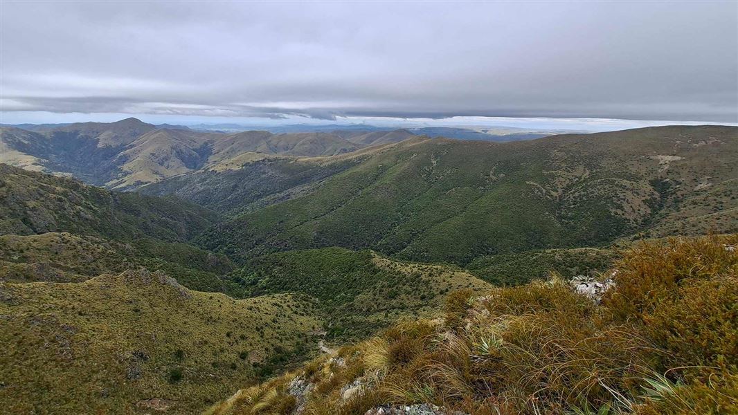
Mt Miserable Conical Peak Route
Expert • 7 hr 30 • 15 km • 5.14 km away
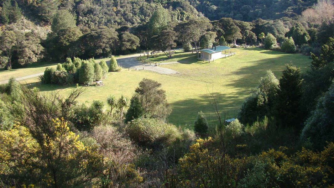
Glencoe Walking Track
Easy • 5 min from either access point • Camp to river 150 m / Road to river 220 m • 9.47 km away
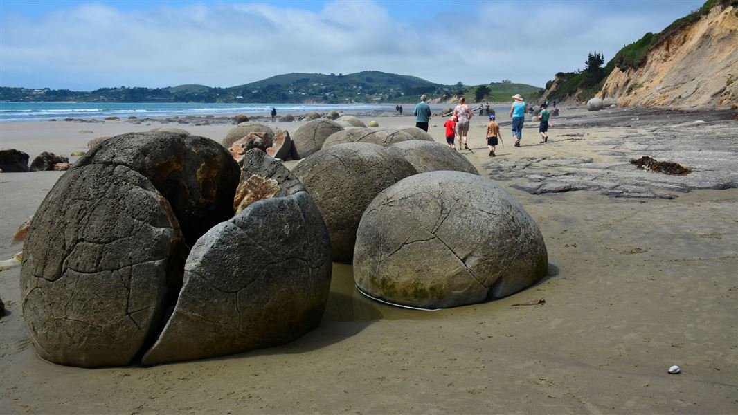
Moeraki Boulders/Kaihinaki Walk
Easiest • 10 mins • 300 m • 12.88 km away
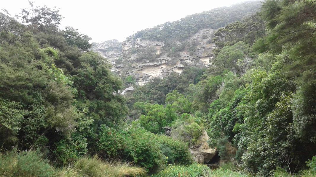
Trotters Creek Track
Advanced • 30 min one way • 1.5 km • 14.06 km away
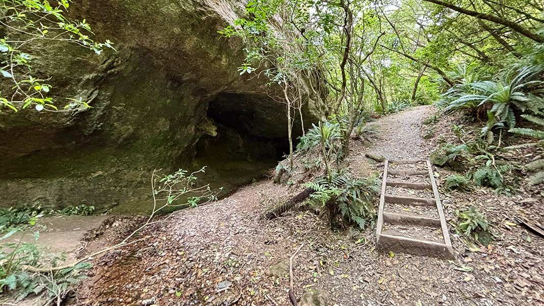
Trotters Cave Walk
Easy • 30 min one way • 700 m • 14.57 km away
Contact
DOC Customer Service Centre
Regional DOC service centre.
Something missing or out of date?
Closed, moved, wrong facts, or something we have missed? Travellers keep the Road Guide up to date. Tell us what you found at contribute@parkup.nz and we will check it and add it.
Ask us to take this down
A person reads every request. We do not remove a place until we have checked it.
Sources
- DOC Huts (API) · CC BY 4.0Crown Copyright: Department of Conservation Te Papa Atawhai. Data sourced from the DOC Developer Portal (api.doc.govt.nz).
- DOC Huts · CC BY 4.0Data sourced from the Department of Conservation (DOC), New Zealand.
- OpenStreetMap Huts · ODbL (Open Database License)Contains information from OpenStreetMap, made available under the ODbL.