Stafford Hut
Standard hutJackson Bay - Gorge River area, West CoastOpen
- Sleeps
- 6 bunks
- Booking
- Not bookable
- Cost
- from $15
- Heating
- Yes
- Drinking water
- Boil first
- Toilet
- Non-flush
Getting there
We have not checked a road end or car park for this place yet, so we do not give driving directions to it. Check how to get there before you go. Some routes cross private land and need the landowner's permission.
How to get there, on doc.govt.nz- Topo map
- Topo50 sheet BY10
- Grid reference
- E1242801, N5118901
Source: DOC Te Papa Atawhai.
Map and tracks
Track lines: DOC Te Papa Atawhai. Map data © OpenStreetMap contributors. Topo map: LINZ, CC BY 4.0. 43.99613° S, 168.54516° E
About this place
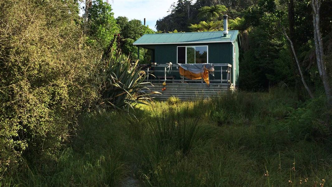
This is a standard six-bunk hut in the South Westland area.
On the way here
Stafford Bay Route · 4 hr one way
Smoothwater River to Stafford Hut – inland route
Time: 3 hr, 7 km
Rrecommended route Beyond the Smoothwater River junction the track becomes a route. From this point backcountry experience and navigation skills are essential. Follow the Smoothwater River upstream for about 20 minutes, crossing as necessary until Kakapo Creek (the first major creek) flows in on the true left. Look for the large orange marker. The marked track goes up Kakapo Creek. It crosses it several times and uses the creek bed as the route. After about an hour, the track veers away from the creek to the right and starts to climb to Stafford Saddle. From the saddle, the route sidles before dropping, steeply at times, to a creek. Follow the creek downstream; it may be easier to follow the true left bank in places due to windfall trees in the creek bed. The ground levels out shortly before the creek meets the Stafford River. Follow the river downstream, crossing where necessary, until markers on the true left for the short track to Stafford Hut, which is located 200 m upstream of the beach.
Smoothwater River to Stafford Bay – coastal route
Time: 4 hr, 5.8 km
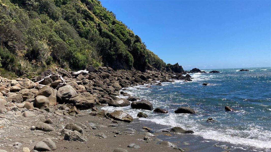
Alternative route for experienced trampers only Rocky coastline on Stafford Bay Route Warning: Due to the steep coastal terrain and numerous rocky and slippery sections, most of this route is unmarked and should only be attempted by people with a high level of backcountry experience and navigation skills. This route is only possible if started 2 hours before low tide from Smoothwater Bay and when the sea conditions are calm. Follow the track from the car park to Smoothwater River, which takes about 45 minutes. Head downstream along the bush track that follows the Smoothwater River. Alternatively, if the river is low, you can walk down the river, crossing where needed. It should take around 1.5 hours to reach Smoothwater Bay. From Smoothwater Bay the track becomes a route. Head south to Stafford Bay. There is a difficult, rocky bluff section (prone to sea surges about five minutes after leaving Smoothwater Bay) which requires fording coastal pools. Further down the coast there are two very steep headlands either side of Homminy Cove that require great care. Once you have crossed both headlands continue south along the coast until you reach Stafford River. Stafford Hut is 150 m up the river, on the true left. Warning: Do not attempt this coastal track in the reverse direction. If the tide or sea conditions are not suitable you are likely to get stranded along the coast.
Source: DOC Te Papa Atawhai.
Fees and bookings
Before you go, buy Hut Tickets for each night's stay. Put these in the honesty box at the hut. Or buy a Backcountry Hut Pass that gives unlimited use at most Standard and Serviced huts for a 12 month period. Retailers that sell hut tickets and passes
Source: DOC Te Papa Atawhai.
Walks nearby
Contact
Awarua/Haast Visitor Centre
Regional DOC service centre.
Notes from people who have been
No notes yet. If you have been, say what you found.
Something missing or out of date?
Closed, moved, wrong facts, or something we have missed? Travellers keep the Road Guide up to date. Tell us what you found at contribute@parkup.nz and we will check it and add it.
Ask us to take this down
A person reads every request. We do not remove a place until we have checked it.
Sources
- DOC Huts (API) · CC BY 4.0Crown Copyright: Department of Conservation Te Papa Atawhai. Data sourced from the DOC Developer Portal (api.doc.govt.nz).
- OpenStreetMap Huts · ODbL (Open Database License)Contains information from OpenStreetMap, made available under the ODbL.
- DOC Huts · CC BY 4.0Data sourced from the Department of Conservation (DOC), New Zealand.