Sefton Bivouac
Basic/bivvies hutAoraki/Mount Cook National Park, CanterburyOpen
- Sleeps
- 3 bunks
- Booking
- Not bookable
- Heating
- None
- Drinking water
- Boil first
- Toilet
- Non-flush
Getting there
We have not checked a road end or car park for this place yet, so we do not give driving directions to it. Check how to get there before you go. Some routes cross private land and need the landowner's permission.
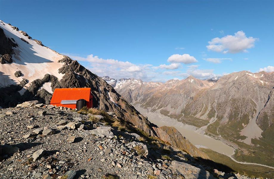
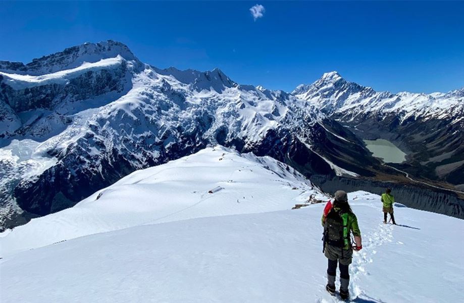
How to get there, on doc.govt.nzThe terrain on the way to Sefton Bivouac has high drop-offs.Image: © Hunter Smith
The trip to Sefton Bivouac is through challenging and technical alpine terrain.
Check the weather forecast and reschedule your trip if needed. Bad weather will make an already challenging trip more hazardous.
NIWA Weather: Mueller Hut
Contact the Aoraki/Mount Cook Visitor Centre for advice on the current conditions.
Reaching Sefton Bivvy in winter conditions (early May to November) requires good level of mountaineering experience, including walking on ice and snow with ice axe and crampons, route finding and using an avalanche transceiver, probe and shovel.
- Topo map
- Topo50 sheet BX15
Source: DOC Te Papa Atawhai.
Map
Map data © OpenStreetMap contributors. Topo map: LINZ, CC BY 4.0. 43.68790° S, 170.07588° E
About this place
Sefton Bivouac is a basic, high alpine hut in Aoraki/Mount Cook National Park. The route to the bivvy is unmarked, steep and exposed.
Know before you go
What to take
The hut only has 3 bunks and can be very busy in summer. Bring a tent as backup Bring a bedroll as there are no mattresses. The hut has no heating or cooking facilities. The water tank is small, we recommend bringing your own drinking water. Always carry a distress beacon, even for day trips. You can hire these at the Aoraki/Mount Cook Visitor Centre. DOC gear lists: Walking and tramping gear lists
Weather
High winds, snow, ice, whiteouts/low visibility and freezing temperatures can happen at any time of year in Aoraki/Mount Cook National Park. The weather can change suddenly – be prepared for all conditions. Bring warm, waterproof clothes and sun protection.
Te Waewae Glacier
There are significant ice fall and rockfall hazards at Te Waewae glacier. Glacier hiking experience and equipment is needed if proceeding beyond Sefton Bivouac to the glacier.
Kea
Kea live in this area and may damage tents, packs and other gear. Keep your gear secure. Never feed kea.
Toilet
There is an open air, self-contained toilet known as a Denali 400 near the biv – this is basically a toilet seat on top of a big tank. Visitors are recommended to bring a compostable bag and poo pot or poo tube to transport your poo during snowy conditions. See toileting in the outdoors .
Avalanche
There is an active avalanche path on the route to Sefton Bivouac. Avalanches are most common from May to November. However, avalanches can occur at any time of the year as snow falls year-round in the park. Make sure: You check the New Zealand Avalanche Advisory (NZAA) before you go. You have the skills to assess avalanche conditions and recognise avalanche prone areas. You know how to safely travel in avalanche terrain. Each person has an avalanche transceiver, a snow shovel and a probe, and knows how to use them. Read more about Avalanche terrain in Aoraki/Mount Cook National Park
Source: DOC Te Papa Atawhai.
Fees and bookings
Free
Source: DOC Te Papa Atawhai.
Nearby stops
Hooker Hut
Serviced • 8 bunks • Canterbury • 1.8 km
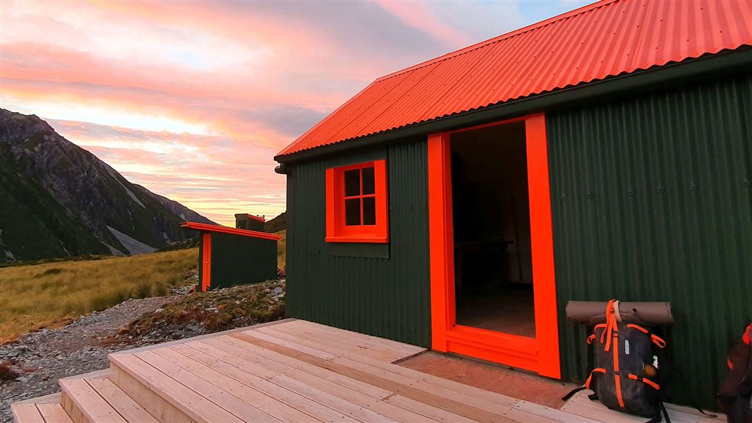
Hooker Hut is an eight-bunk serviced hut located in the Aoraki/Mount Cook area of Canterbury. It is the oldest hut in the park.
Cooking • Heating • Mattresses
Bivouac site
Canterbury • 3.3 km
White Horse Hill Campsite
Standard • Canterbury • 3.6 km
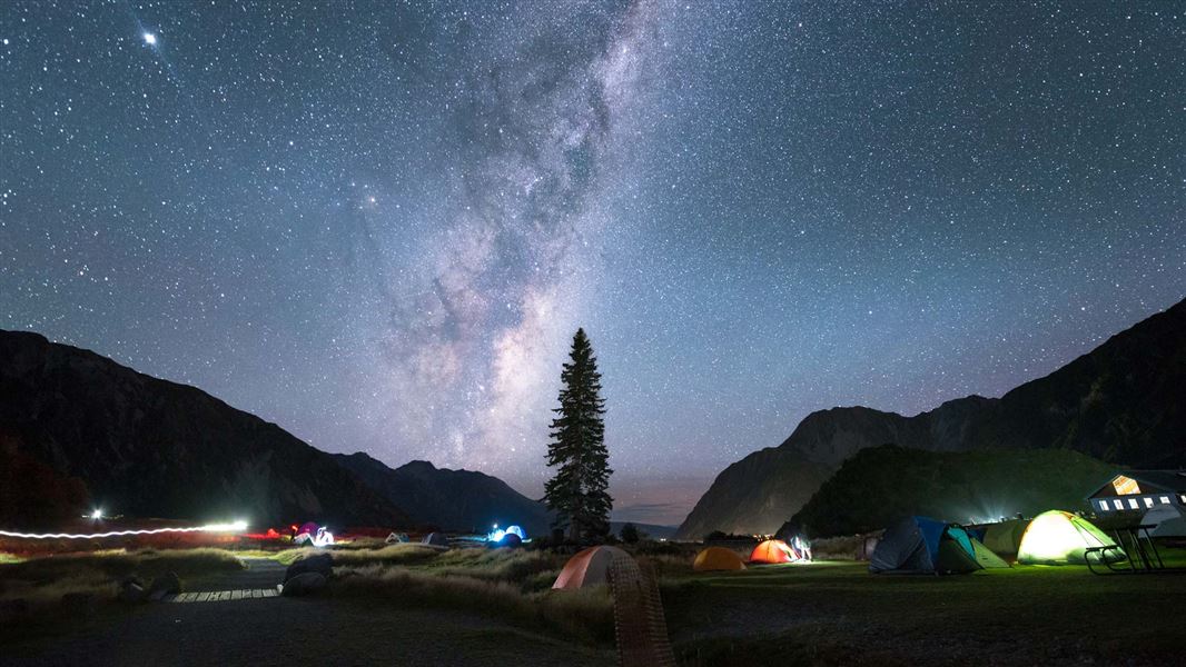
White Horse Hill Campsite is located in Canterbury and offers views of alpine scenery including Mt Sefton. The area provides access to a variety of walks…
Non-powered/tent sites • Shelter for cooking • Toilets - flush
Mueller Hut
Serviced Alpine • 28 bunks • Canterbury • 3.8 km
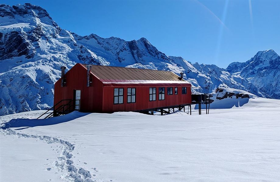
Mueller Hut is an alpine serviced hut located in the Aoraki/Mount Cook area of Canterbury. It provides 28 bunks for visitors.
Cooking • Mattresses • Lighting
Hooker Hut (removed)
Canterbury • 4 km
Hooker Hut is a former hut located in the Canterbury region of New Zealand. The structure has been removed and is no longer available for use.
Walks nearby
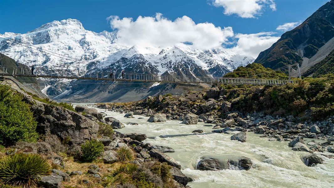
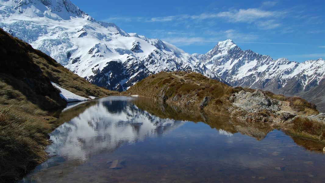
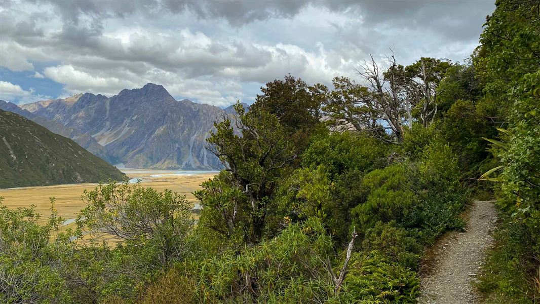
Contact
Aoraki/Mount Cook National Park Visitor Centre
1 Larch Grove, Aoraki/Mount Cook 7999
Regional DOC service centre.
Notes from people who have been
No notes yet. If you have been, say what you found.
Something missing or out of date?
Closed, moved, wrong facts, or something we have missed? Travellers keep the Road Guide up to date. Tell us what you found at contribute@parkup.nz and we will check it and add it.
Ask us to take this down
A person reads every request. We do not remove a place until we have checked it.
Sources
- DOC Huts · CC BY 4.0Data sourced from the Department of Conservation (DOC), New Zealand.
- DOC Huts (API) · CC BY 4.0Crown Copyright: Department of Conservation Te Papa Atawhai. Data sourced from the DOC Developer Portal (api.doc.govt.nz).
- OpenStreetMap Huts · ODbL (Open Database License)Contains information from OpenStreetMap, made available under the ODbL.