Rock Hut
HutSouthland
Getting there
We have not checked a road end or car park for this place yet, so we do not give driving directions to it. Check how to get there before you go. Some routes cross private land and need the landowner's permission.
Map and tracks
Track lines: DOC Te Papa Atawhai. Map data © OpenStreetMap contributors. Topo map: LINZ, CC BY 4.0. 45.83728° S, 167.88692° E
Got a good photo of this place? Send it to us and we will show it with your name.
About this place
Rock Hut is a basic shelter located in the Southland region of New Zealand. It provides a simple place to stay for outdoor enthusiasts exploring the area.
On the way here
Rees-Dart Track · 4-5 days one way
Park boundary to Shelter Rock Hut
Time: 4–6 hr
km Warning: Avalanche paths between the upper bushline and Shelter Rock Hut can make travel hazardous from late autumn to early summer. There is a marked track through the bush and a swing bridge crossing to the west bank of Rees River. The track continues through beech forest past Clarke Slip to the bush edge. Waterfall Creek bridge between Clarke Slip and Shelter Rock Hut has been structurally damaged and cannot be used. Extreme caution is required here during heavy rains and high creek flows - the creek can become dangerous and crossing it is not advised. Above the bush, the track crosses several gullies that are avalanche paths. Take care crossing these gullies in spring and early summer when late snow may still pose a risk. Half an hour up from the bush edge, cross a bridge to the river’s east bank to reach the 22-bunk Shelter Rock Hut. km Camping: Not allowed between Shelter Rock Hut and Dart Hut – this is to protect these fragile alpine and subalpine areas. Warning: The upper Snowy Creek bridge is removed each winter and is returned when the snow clears, which can be as late as December. This creek can be hazardous so extreme care must be taken if crossing it. Avalanche paths between the bushline and Dart Hut can make travel hazardous from late autumn to early summer. Heavy rain can cause the creeks in this section to flood and become impassable. Consider the weather before you leave Shelter Rock Hut and stay in the hut if needed. The track between Shelter Rock Hut and Dart Hut is narrow with a number of steep drop-offs, particularly in the upper Snowy Creek. Follow the true left of Rees River as the track goes through scrub then rises about 100 m above the river. The track sidles into the tussock-filled upper basin and follows the river’s bed. On the final steep climb to the 1471 m Rees Saddle, there is a lightly marked track close to the bluff on the left. From the saddle, follow the orange markers as the track drops and passes tarns to a tussock bench well above Snowy Creek. Make sure you follow the marker poles, as people have been injured while going off-track in this area. From here, the track traverses steep slopes that can be dangerous when wet or snow covered. There are some steep drops beside the track, so stay on the track, go slowly and watch your footing. A bridge crosses upper Snowy Creek, and the track sidles across broken slopes before descending sharply. The Dart Hut is on Snowy Creek’s true left and can be reached via a swing bridge.
Source: DOC Te Papa Atawhai.
Trip options
Walking times come from DOC track descriptions, added up leg by leg from car-accessible trailheads. Nights and return times are ParkUp estimates, allowing about 8 hours of walking a day.
1 option · 1 night
Park boundary
Walking in
3 hr
Walking out
3 hr to Park boundary
Source: DOC Te Papa Atawhai track descriptions.
Nearby stops
Daleys Flat Campsite
Backcountry • Otago • 148.3 km
Daleys Flat Campsite is a backcountry campsite located outside Daleys Flat Hut in Otago.
Water from tap - not treated, boil before use • Toilets - non-flush • Toilets

Daleys Flat Hut
Serviced • 20 bunks • Otago • 148.3 km
Daleys Flat Hut is a serviced 20-bunk hut located in the Queenstown/Wakatipu area of Otago.
Heating • Mattresses • Toilets - non-flush
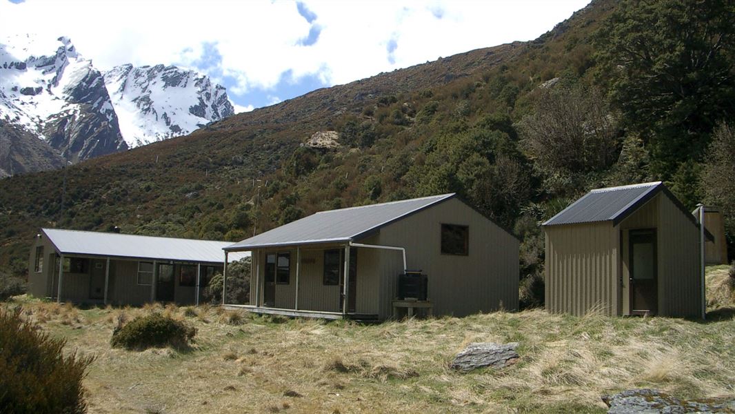
Shelter Rock Campsite
Backcountry • Otago • 150.3 km
Shelter Rock Campsite is a backcountry campsite located outside Shelter Rock Hut in Otago.
Toilets - flush • Water from tap - not treated, boil before use • Toilets
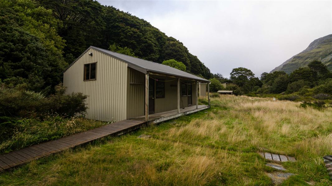
Shelter Rock Hut
Serviced • 22 bunks • Otago • 150.3 km
Shelter Rock Hut is a serviced 22-bunk hut located in the Queenstown/Wakatipu area of Otago.
Heating • Mattresses • Toilets - flush
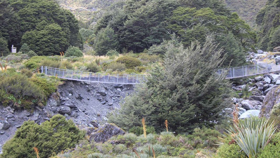
Dart Campsite
Backcountry • Otago • 155.4 km
Dart Campsite is a backcountry campsite located near Dart Hut in Otago.
Toilets - flush • Water from tap - not treated, boil before use • Toilets
Notes from people who have been
No notes yet. If you have been, say what you found.
Something missing or out of date?
Closed, moved, wrong facts, or something we have missed? Travellers keep the Road Guide up to date. Tell us what you found at contribute@parkup.nz and we will check it and add it.
Ask us to take this down
A person reads every request. We do not remove a place until we have checked it.
Sources
- OpenStreetMap Huts · ODbL (Open Database License)Contains information from OpenStreetMap, made available under the ODbL.