Pourakino Picnic Area Loop Track
WalkSouthlandOpen
- Grade
- Easy
- Walking time
- 45 min
- Distance
- 1.7 km
- Route
- Loop
- Dogs
- On a lead
Getting there
We have not checked a road end or car park for this place yet, so we do not give driving directions to it. Check how to get there before you go. Some routes cross private land and need the landowner's permission.
How to get there, on doc.govt.nzFrom Invercargill travel north on SH6 to Lorneville Roundabout. Take first exit onto SH99 (signs for Riverton). Continue for 24 km.
Turn right onto Gropers Bush – Thornbury Road continue for 21 km. In Otautau, turn left onto Knutsford Road follow forestry signs for picnic area.
There is no access to the picnic area via Pourakino Valley Road. Navigation tools like Google Maps may try and direct you through this road.
Source: DOC Te Papa Atawhai.
Map
Map data © OpenStreetMap contributors. Topo map: LINZ, CC BY 4.0. 46.19387° S, 167.91907° E
About this place
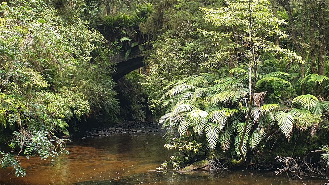
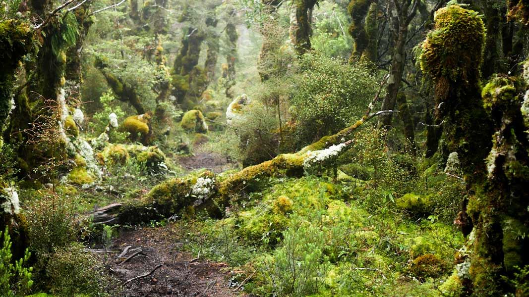
This is an easy short walking track following historic tramlines though silver beech forest.
The route
This loop track follows historic tramlines close to Granity Stream and gives beautiful views of bridges used by early loggers, the More family. The picnic area has fire boxes, picnic tables, a toilet. This track is part of the Longwoods Forest – a regenerating silver beech forest in Western Southland. The site was once a large sawmill owned by the More family of Riverton. Interpretation boards along the track highlight key points and give information on the history of the area.
Source: DOC Te Papa Atawhai.
Nearby stops

Martin's Hut
Basic/bivvies • 4 bunks • Southland • 8.8 km
Martin's Hut is a basic four-bunk shelter located in Southland. Built in 1905 during the gold-mining era, it offers simple accommodation for hikers.
Heating • Toilets - non-flush • Water from tap - not treated, boil before use

Turnbull's (Big Dam) Hut
Basic/bivvies • 2 bunks • Southland • 12 km
Turnbull's (Big Dam) Hut is a basic two-bunk hut located in the Southland region.
Heating
Merriview Hut
5 bunks • Southland • 14.2 km
Thornbury Bridge Picnic Area
Southland • 16.2 km
Thornbury Bridge Picnic Area is a campsite located in the Southland region of New Zealand. The provided records do not list specific facilities or details for…
Thornbury Freedom Camp
Southland • 16.3 km
Thornbury Freedom Camp is a campsite located in the Southland region. No further details are available in the provided records.
Walks nearby
Notes from people who have been
No notes yet. If you have been, say what you found.
Something missing or out of date?
Closed, moved, wrong facts, or something we have missed? Travellers keep the Road Guide up to date. Tell us what you found at contribute@parkup.nz and we will check it and add it.
Ask us to take this down
A person reads every request. We do not remove a place until we have checked it.
Sources
- DOC Tracks & Trails · CC BY 4.0Data sourced from the Department of Conservation (DOC), New Zealand.
- DOC Tracks (API) · CC BY 4.0Crown Copyright: Department of Conservation Te Papa Atawhai. Data sourced from the DOC Developer Portal (api.doc.govt.nz).