Peak Hill Route
WalkCanterbury
- Grade
- Expert
- Walking time
- 3 hr
- Dogs
- No dogs
Getting there
We have not checked a road end or car park for this place yet, so we do not give driving directions to it. Check how to get there before you go. Some routes cross private land and need the landowner's permission.
How to get there, on doc.govt.nzFrom Christchurch, head towards Darfield or Hororata until you meet up with Coleridge Road. Go through Lake Coleridge Village then turn west onto Algidus Road. The signed entrance to Peak Hill is nine km up Algidus Road.
Source: DOC Te Papa Atawhai.
Map
Map data © OpenStreetMap contributors. Topo map: LINZ, CC BY 4.0. 43.32306° S, 171.50508° E
About this place
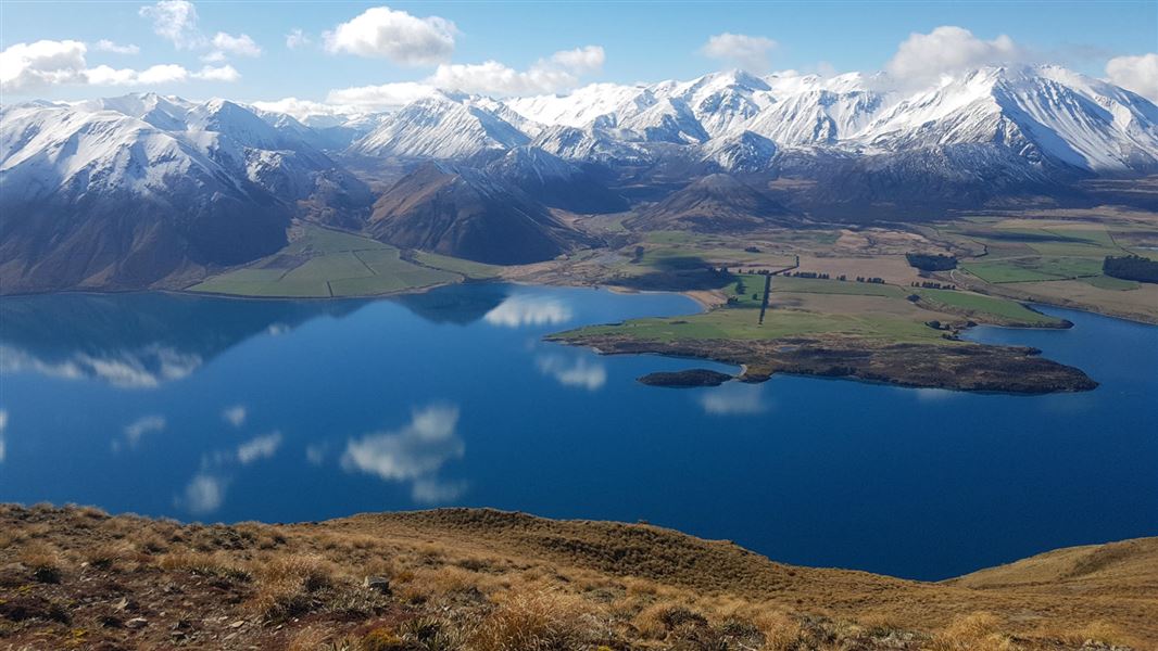
The climb to the top of Peak Hill rewards walkers with sweeping views of Lake Coleridge and its surrounds. The walk is extremely exposed to the weather and walkers should be well equipped.
The route
From Algidus Road there is a sign and a marked easement over private land, which will take you to the summit along an unformed route. The walk is suitable for family groups.
Source: DOC Te Papa Atawhai.
Nearby stops
Kowhai Flat
Canterbury • 8.3 km
Trustpower Campsite
Canterbury • 11.8 km
Trustpower Campsite is a campsite located in the Canterbury region. The available records do not provide further details about its specific facilities or…

A Frame Hut
Basic/bivvies • 3 bunks • Canterbury • 12.8 km
A Frame Hut is a three-bunk hut located in the Mid and South Canterbury area of the Canterbury region.
Mattresses • Toilets - non-flush • Water from stream
Porters Lodge Camp Sites
Canterbury • 13.8 km
Porters Lodge Camp Sites is a campsite located in the Canterbury region. No further details about facilities or amenities are available in the provided records.
Porters Ski Lodge
Canterbury • 13.8 km
Walks nearby
Notes from people who have been
No notes yet. If you have been, say what you found.
Something missing or out of date?
Closed, moved, wrong facts, or something we have missed? Travellers keep the Road Guide up to date. Tell us what you found at contribute@parkup.nz and we will check it and add it.
Ask us to take this down
A person reads every request. We do not remove a place until we have checked it.
Sources
- DOC Tracks (API) · CC BY 4.0Crown Copyright: Department of Conservation Te Papa Atawhai. Data sourced from the DOC Developer Portal (api.doc.govt.nz).