Pataua Island Track
WalkNorthlandOpen
- Grade
- Easiest
- Dogs
- No dogs
Getting there
We have not checked a road end or car park for this place yet, so we do not give driving directions to it. Check how to get there before you go. Some routes cross private land and need the landowner's permission.
How to get there, on doc.govt.nzThe Pataua South community is a 45-minute drive east of Whangārei. Pataua South road is off the Whangārei Heads Road. The car park is located down Mahanga Road.
Source: DOC Te Papa Atawhai.
Map
Map data © OpenStreetMap contributors. Topo map: LINZ, CC BY 4.0. 35.71563° S, 174.53000° E
About this place
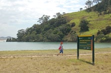
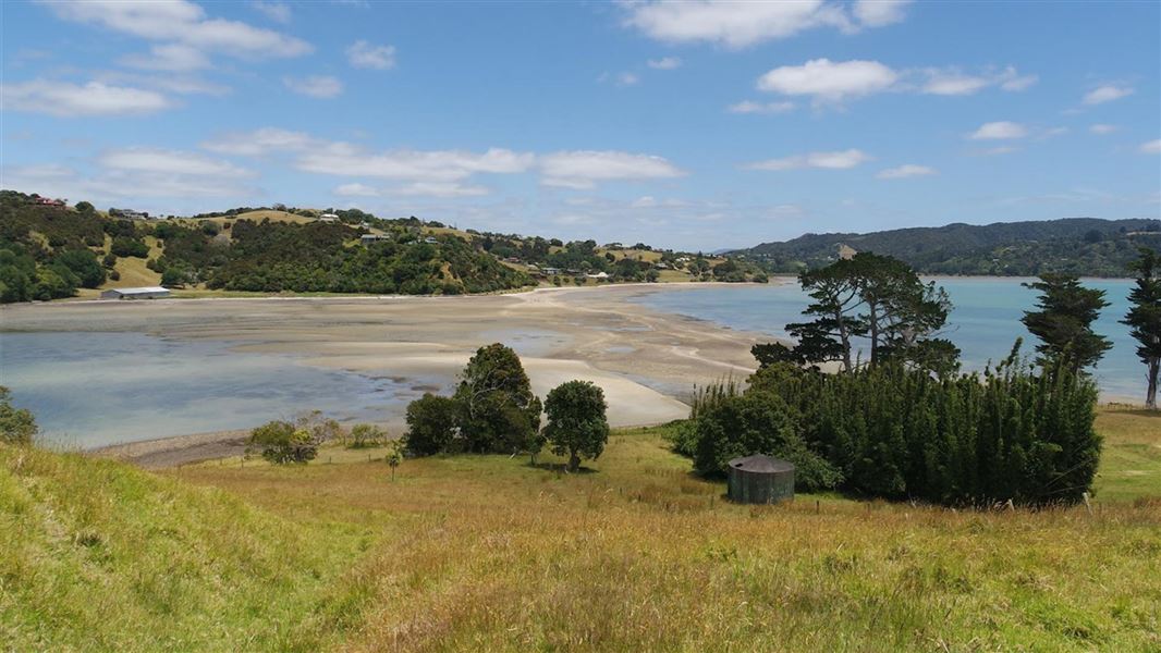
Pataua Island Track is a short access track that skirts the Pataua Estuary and leads you to a lovely beach.
The route
This is just a short access track that takes you to a lovely beach, and skirts the Pataua estuary. The track is almost flat and easy, but there is no wheelchair access. Pataua is a very popular beach that offers safe swimming in the estuary and the ocean side.
Source: DOC Te Papa Atawhai.
Nearby stops
Pataua Island Recreation Reserve
Northland • 0.1 km
Pataua Island Recreation Reserve is at Pataua South, reached from Mahanga Road. Freedom camping is restricted to certified self-contained vehicles.
Treasure Island
Northland • 0.1 km
Treasure Island is a campsite located in the Northland region of New Zealand. The provided data does not include further details regarding specific facilities…
Te Ara Roa Walkers Camp
Northland • 5.3 km
Te Ara Roa Walkers Camp is a campsite located in the Northland region of New Zealand. The provided records do not list specific facilities or additional…
Nikau Bay Camp
Northland • 8.8 km
Nikau Bay Camp is a campsite located in Northland. The site offers a boat ride across the bay for tramping association hikers.
parua Bay campsite
Northland • 9.9 km
Parua Bay campsite is a camping area located in the Northland region of New Zealand. The provided records do not list specific facilities or amenities for this…
Walks nearby
Notes from people who have been
No notes yet. If you have been, say what you found.
Something missing or out of date?
Closed, moved, wrong facts, or something we have missed? Travellers keep the Road Guide up to date. Tell us what you found at contribute@parkup.nz and we will check it and add it.
Ask us to take this down
A person reads every request. We do not remove a place until we have checked it.
Sources
- DOC Tracks (API) · CC BY 4.0Crown Copyright: Department of Conservation Te Papa Atawhai. Data sourced from the DOC Developer Portal (api.doc.govt.nz).
- DOC Tracks & Trails · CC BY 4.0Data sourced from the Department of Conservation (DOC), New Zealand.