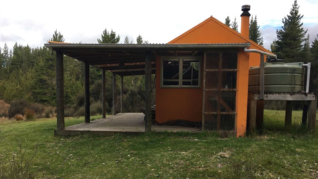
Otutu Hut
Standard hutKaweka Forest Park, Hawke's BayOpen
- Sleeps
- 6 bunks
- Booking
- Not bookable
- Cost
- from $15
- Heating
- Yes
- Drinking water
- Boil first
- Toilet
- Non-flush
Getting there
We have not checked a road end or car park for this place yet, so we do not give driving directions to it. Check how to get there before you go. Some routes cross private land and need the landowner's permission.
How to get there, on doc.govt.nzThe helipad is located 30 metres immediately uphill from the hut. Flight availability and costs can be obtained from helicopter concessionaires in the central North Island.
From Manson Hut a marked track heads north climbing up to Mt Manson (1448 metres altitude). The track turns west before crossing Manson Creek to arrive at Otutu Hut.
From Rocks Ahead Hut the track steeply ascends up onto Spion Kop where a poled route leads west to reach a track junction with the route from Manson Hut. From here, the track swings right and drops into the beech forest and semi-circles around to Otutu Hut. It passes over an open sub-alpine area with extensive views across to the national park.
Caution is advised when travelling in this area, especially the open tops, when poor visibility is often accompanied by high winds and cold temperatures.
Note: Otutu Hut no longer has a northerly access to the Ngaruroro River from Ngaawapurua Hut. This track was closed in 2002.
Tramping routes are either to Rocks Ahead Hut in the east or to Manson Hut and onto to Kiwi Mouth Hut in the south.
We recommend 4WD vehicles to reduce wear on the road and safe travel.
- Topo map
- Topo50 sheet BJ37
- Grid reference
- E1878898, N5647878
Source: DOC Te Papa Atawhai.
Map
Map data © OpenStreetMap contributors. Topo map: LINZ, CC BY 4.0. 39.27364° S, 176.23274° E
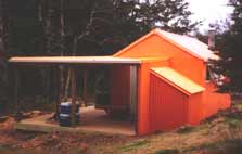
About this place
This hut is a comfortable base for many hunting opportunities and a tramping stop-over point for exploring the more remote areas of the Kaweka Forest Park.
Fees and bookings
Before you go, buy Hut Tickets for each night's stay. Put these in the honesty box at the hut. Or buy a Backcountry Hut Pass that gives unlimited use at most Standard and Serviced huts for a 12 month period. Retailers that sell hut tickets and passes
Source: DOC Te Papa Atawhai.
Nearby stops
Otutu Island Hut
Hawke's Bay • 1.7 km
Otutu Island Hut is a basic shelter located on Otutu Island in the Hawke's Bay region. The provided records do not list specific facilities or access details…
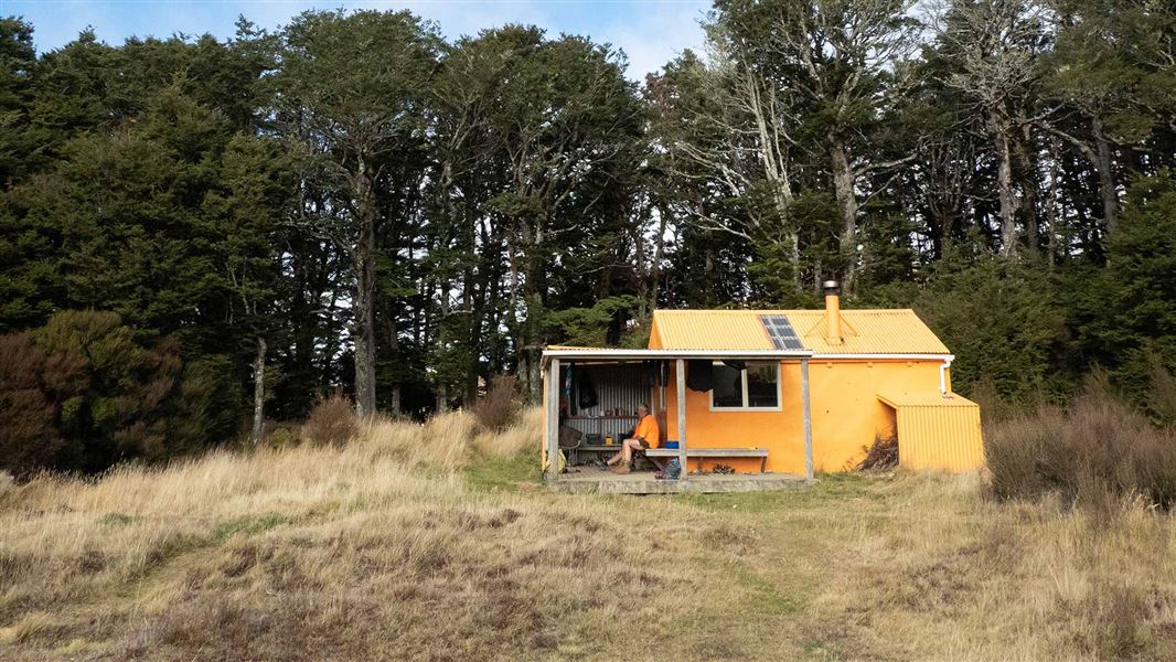
Manson Hut
Standard • 6 bunks • Hawke's Bay • 3.4 km
Manson Hut is a hut located in the lower central section of the area known as the “Manson Country” in Hawke's Bay.
Heating • Mattresses • Toilets - non-flush
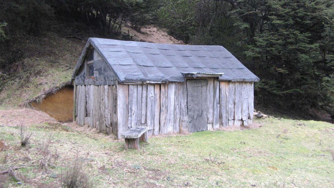
History of Manson Hut
Basic/bivvies • 8 bunks • Hawke's Bay • 3.7 km
Manson Hut is a historic hut in Hawke's Bay that was originally built in the late 1940s. It served as a musterer's hut.
Heating • Toilets - non-flush • Water from stream
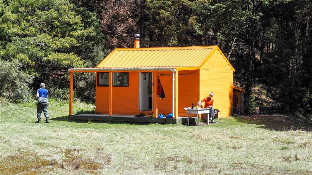
Ngaawapurua Hut
Standard • 6 bunks • Hawke's Bay • 4.6 km
Ngaawapurua Hut is a DOC hut located in Hawke's Bay. It sits at 800 metres altitude on a terrace above the Ngaawapurua Stream in a sunny, flat, and sheltered…
Heating • Mattresses • Toilets - non-flush
Rocks Ahead Bivouac
Standard • 4 bunks • Hawke's Bay • 5.4 km
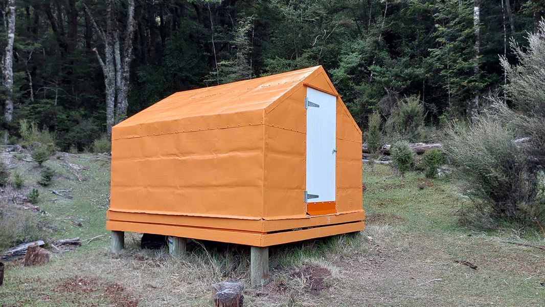
Rocks Ahead Bivouac is a hut on the true right bank of the Ngaruroro River at the mid-western boundary of the area known as the Manson Country.
Mattresses • Toilets - non-flush • Water from stream
Walks nearby
Kiwi Saddle Hut via Mt Kuripapango
Advanced • 4 hrs • 7.8 km • 11.59 km away
Cameron Hut via Mt Kuripapango and Smith-Russell Track
Advanced • 5-6 hrs • 11 km • 11.76 km away
Lakes Carpark Loop – Rogue Ridge/Cooks Horn
Advanced • 3-4 hrs • 12.94 km away
Lakes carpark to Mt Kuripapango Track
Advanced • 2-3 hrs (one way) • 2.6 km (Lakes carpark to Mt Kuripapango one way) • 13.46 km away
Lakes carpark to Mackintosh carpark via Mackintosh Hut
Advanced • 5-6 hrs • 14.07 km away
Contact
DOC Customer Service Centre
Regional DOC service centre.
Notes from people who have been
No notes yet. If you have been, say what you found.
Something missing or out of date?
Closed, moved, wrong facts, or something we have missed? Travellers keep the Road Guide up to date. Tell us what you found at contribute@parkup.nz and we will check it and add it.
Ask us to take this down
A person reads every request. We do not remove a place until we have checked it.
Sources
- DOC Huts · CC BY 4.0Data sourced from the Department of Conservation (DOC), New Zealand.
- OpenStreetMap Huts · ODbL (Open Database License)Contains information from OpenStreetMap, made available under the ODbL.
- DOC Huts (API) · CC BY 4.0Crown Copyright: Department of Conservation Te Papa Atawhai. Data sourced from the DOC Developer Portal (api.doc.govt.nz).