Otaika Valley Walkway
WalkNorthland
- Grade
- Easy
- Walking time
- 3 hr
- Distance
- 4.8 km
- Dogs
- DOC permit only
Getting there
We have not checked a road end or car park for this place yet, so we do not give driving directions to it. Check how to get there before you go. Some routes cross private land and need the landowner's permission.
How to get there, on doc.govt.nzOtaika Valley Road runs between Loop Road, off SH1, 10 minutes south of Whangārei, and Maungatapere.
Once on Otaika Valley Road, look out for the sign indicating the track entrance. There is parking on the opposite side of the road.
Source: DOC Te Papa Atawhai.
Map
Map data © OpenStreetMap contributors. Topo map: LINZ, CC BY 4.0. 35.76541° S, 174.28523° E
About this place
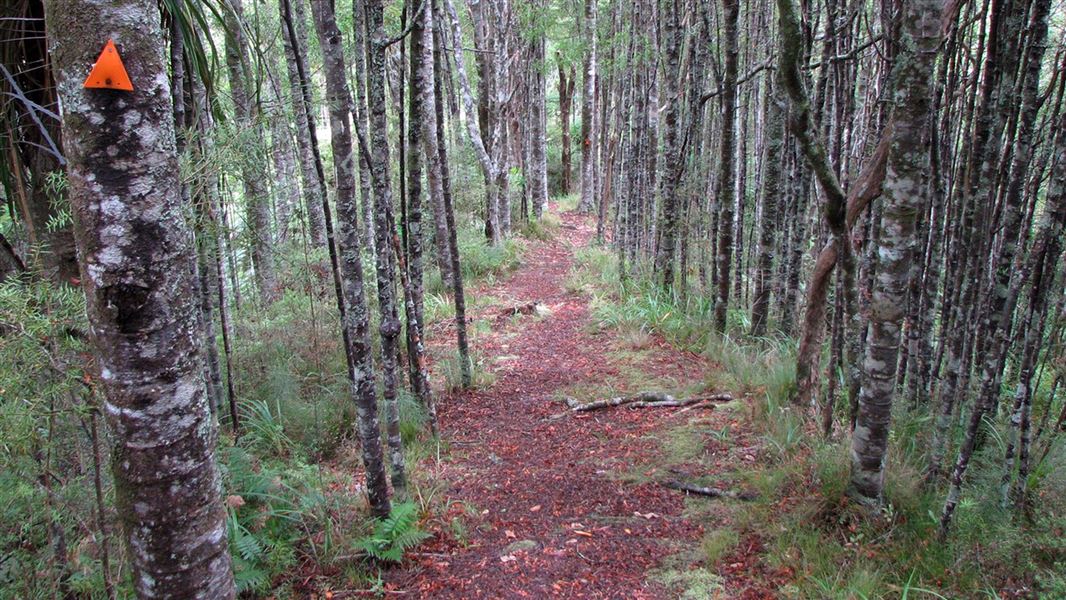
The Otaika Valley Walkway offers you a variety of landscapes including farmland and native forest.
The route
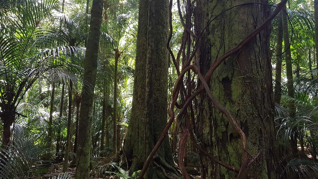
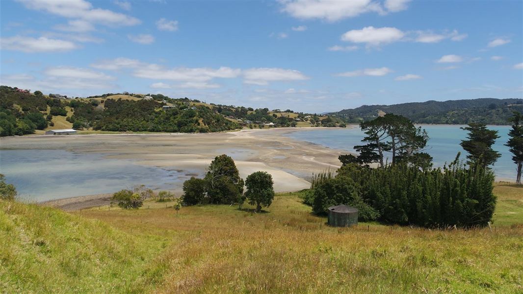
The Otaika Valley Walkway runs through Tiakiriri Kūkupa Scenic Reserve. It wanders through a variety of landscapes, including dense and regenerating forest, farmland, and suburban streets. It is recommended that you start this walk from the signposted car park on Otaika Valley Road. The track rises up steeply from the Otaika Valley stream. Once on the ridge, there are good viewing areas offering expansive views of Maungatapere and northwest Northland. There is also a seat along the ridgeline (264 m above sea level) that gives fantastic rural views of Otaika Valley. The track drops off the ridgeline and crosses over several small streams. Vegetation in this area is mostly regenerating kauri, tanekaha, and totara. The reserve finishes at the kissing gate. Here you can return via the same track. Alternatively you can continue on across open pasture, following the orange posts, until you reach Raumanga Heights Drive. You could arrange to have two cars, one at either end of the track.
Source: DOC Te Papa Atawhai.
Nearby stops
Whangarei Top 10 Holiday Park
Northland • 7.1 km
View island
Northland • 11.8 km
Blue Heron Motel and Campsite
Northland • 12.3 km
Blue Heron Motel and Campsite is a camping facility located in the Northland region of New Zealand. The site operates alongside a motel, providing…
parua Bay campsite
Northland • 14.9 km
Parua Bay campsite is a camping area located in the Northland region of New Zealand. The provided records do not list specific facilities or amenities for this…
Tangihua Lodge
50 bunks • Northland • 19.8 km
Tangihua Lodge is a hut located in the Northland region. No further details about its facilities or specific location are available in the provided records.
Walks nearby
Notes from people who have been
No notes yet. If you have been, say what you found.
Something missing or out of date?
Closed, moved, wrong facts, or something we have missed? Travellers keep the Road Guide up to date. Tell us what you found at contribute@parkup.nz and we will check it and add it.
Ask us to take this down
A person reads every request. We do not remove a place until we have checked it.
Sources
- OpenStreetMap Trails · ODbL (Open Database License)Contains information from OpenStreetMap, made available under the ODbL.
- DOC Tracks (API) · CC BY 4.0Crown Copyright: Department of Conservation Te Papa Atawhai. Data sourced from the DOC Developer Portal (api.doc.govt.nz).