Ōpārara Arch
WalkWest CoastOpen
- Grade
- Easy
- Walking time
- 1 hr
- Distance
- 2 km
- Route
- Return
- Dogs
- No dogs
Getting there
We have not checked a road end or car park for this place yet, so we do not give driving directions to it. Check how to get there before you go. Some routes cross private land and need the landowner's permission.
How to get there, on doc.govt.nzŌpārara Arch is on McCallums Mill Road, north of Karamea. From Karamea, head north for about 10 km, then turn into McCallums Mill Road and follow this for about 14 km to a car park.
Note, McCallums Mill Road is a narrow and steep gravel road with a recommended speed limit of 30 km/hr. It is not suitable for large vehicles or campervans.
Source: DOC Te Papa Atawhai.
Map
Map data © OpenStreetMap contributors. Topo map: LINZ, CC BY 4.0. 41.14726° S, 172.18863° E
About this place
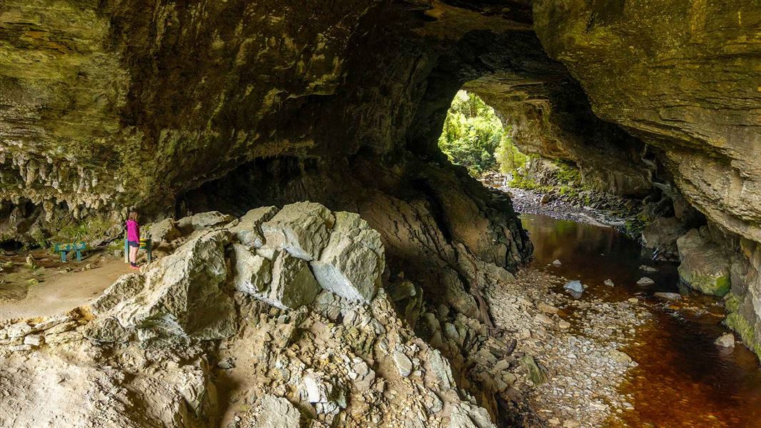
Explore 35-million-year-old limestone arch and ancient native forests. This is a true lost world experience that is easy, fascinating, and great for kids.
The route
This is a 1.1 km easy family friendly walk through beech and podocarp forests, past limestone outcrops, to the Ōpārara Arch. It will take approximately 30 mins. The well-formed track takes you firstly to a bridge over a small tributary stream before leading into Ōpārara River itself, then along to Ōpārara Arch. Once at the arch you can ascend a series of wooden steps to a viewpoint. You will now be standing inside the magnificent limestone arch which is reputed to be the largest one in Australasia. The surface can be rough and uneven in places and has steep drop offs. Take care when walking this track.
Source: DOC Te Papa Atawhai.
Nearby stops
Sunshine Flat Shelter
West Coast • 3 km
Adams Flat Hut
West Coast • 5.9 km
Adams Flat Hut is a basic shelter located on the West Coast of New Zealand. The provided records do not list specific facilities or amenities for this hut.

Kōhaihai Campsite
Standard • West Coast • 8.3 km
Kōhaihai Campsite is located on the mouth of the Kōhaihai River in the West Coast region, surrounded by nīkau forest. The area offers short day or overnight…
BBQ • Non-powered/tent sites • Toilets - flush

Scotts Beach Campsite
Great Walk • West Coast • 9.6 km
Scotts Beach Campsite is a walk-in campsite located on the Heaphy Track.
Fire pit/place for campfires (except in fire bans) • Non-powered/tent sites • Water from tap - not treated, boil before use
Greys Hut
Basic/bivvies • 6 bunks • West Coast • 12.5 km
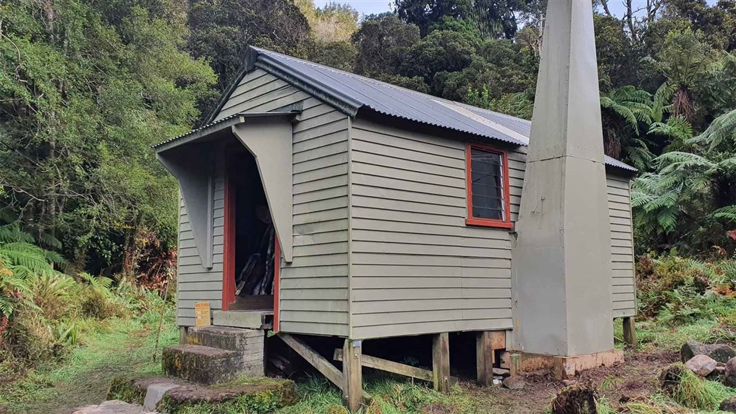
Greys Hut is a basic six-bunk hut located in the Buller area of the West Coast.
Heating • Mattresses • Toilets - non-flush
Walks nearby
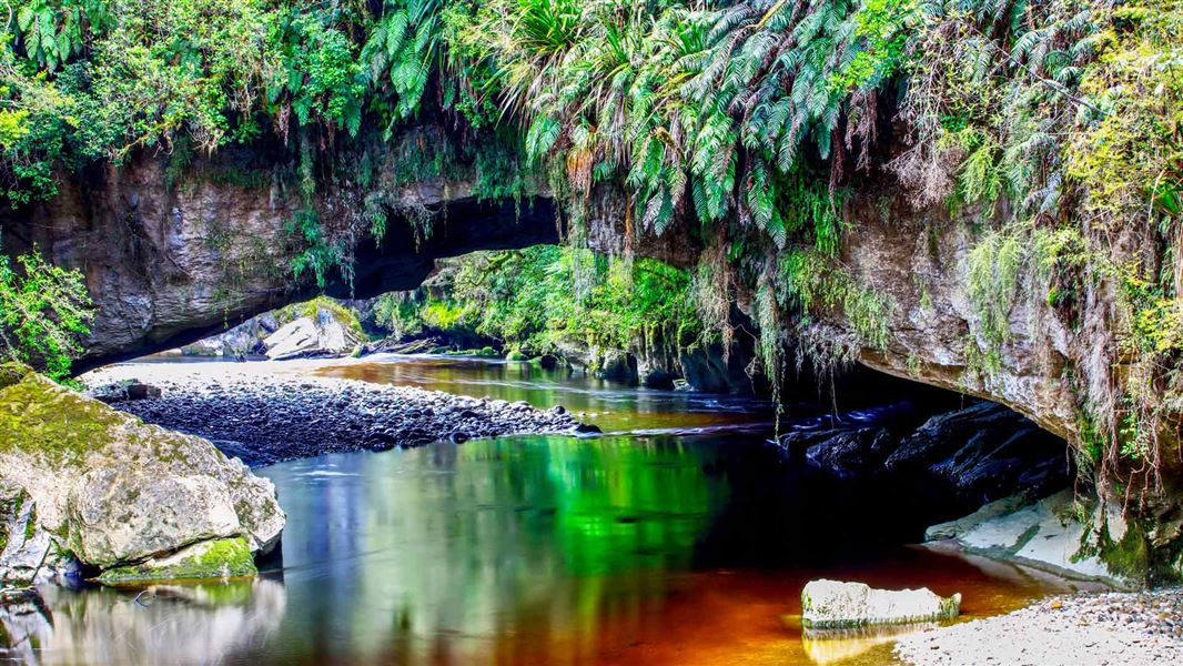
Ōpārara Basin: Moria Gate and Mirror Tarn Loop
Easiest • 1 hr 30 min loop • 4 km loop • 0.77 km away
Adams Flat Track
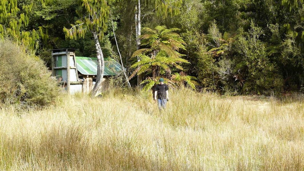
Easy • 4 hr return | 5 hr 20 min return • 14 km return | 16 km return • 5.91 km away
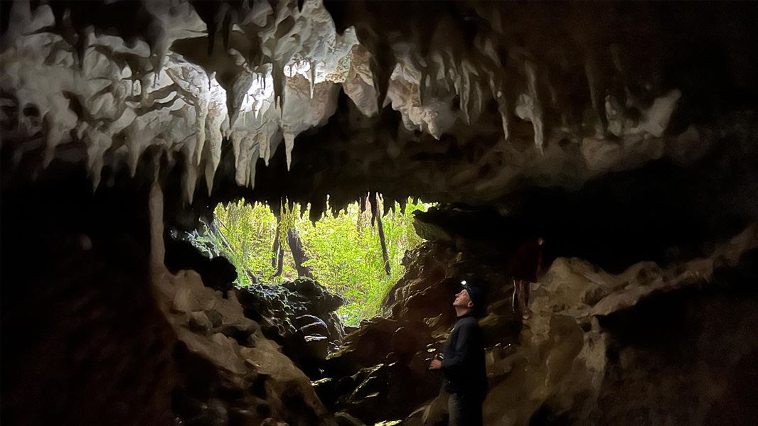
Fenian Caves Track
Easy • 3 hr return • 8.6 km • 6.26 km away
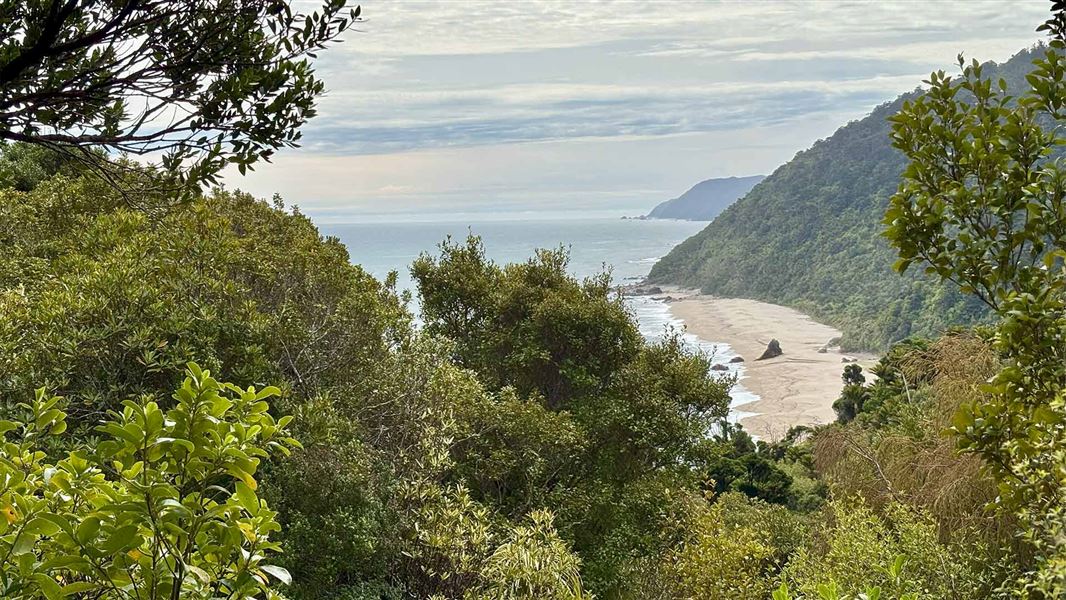
Kōhaihai area short walks
Easy • Various to 2 hr return • Various to 7 km return • 8.5 km away
Notes from people who have been
No notes yet. If you have been, say what you found.
Something missing or out of date?
Closed, moved, wrong facts, or something we have missed? Travellers keep the Road Guide up to date. Tell us what you found at contribute@parkup.nz and we will check it and add it.
Ask us to take this down
A person reads every request. We do not remove a place until we have checked it.
Sources
- DOC Tracks & Trails · CC BY 4.0Data sourced from the Department of Conservation (DOC), New Zealand.
- DOC Tracks (API) · CC BY 4.0Crown Copyright: Department of Conservation Te Papa Atawhai. Data sourced from the DOC Developer Portal (api.doc.govt.nz).
- OpenStreetMap Trails · ODbL (Open Database License)Contains information from OpenStreetMap, made available under the ODbL.