Ohau Gorge Track
WalkManawatū-Whanganui
- Grade
- Easy
- Walking time
- 5 hr
- Distance
- 4 km one way -
- Dogs
- Under control
Getting there
We have not checked a road end or car park for this place yet, so we do not give driving directions to it. Check how to get there before you go. Some routes cross private land and need the landowner's permission.
How to get there, on doc.govt.nzPoads Road-end is 15 minutes' drive from Levin’s town centre.
Head east from Levin to Gladstone Reserve (which can be accessed via Queen Street East or Tararua Road), then follow Gladstone Road for approximately 3 km before turning right onto Poads Road.
Follow the road across the bridge, past the woolshed and up to the carpark near the end of the road, where you will find a kiosk and toilet.
Source: DOC Te Papa Atawhai.
Map
Map data © OpenStreetMap contributors. Topo map: LINZ, CC BY 4.0. 40.67116° S, 175.37904° E
About this place
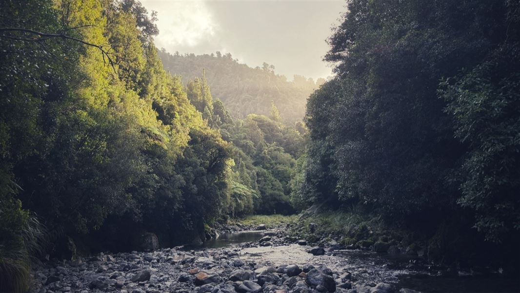
Less than 15 minutes' drive from Levin, this track follows river terraces up the Ohau river through beautiful Nikau groves to the Old Ohau Shelter site.
The route
After a 15 minute walk across farmland to the forest park boundary, a well-formed track follows the pristine Ohau river up to Blackwater stream and the Old Ohau Shelter site. There are some small creek crossings and sections of track that are more technical. Visitors should expect steep drop-offs at the side of the track, some narrow and slippery sections and exposed slip crossings with rockfall and landslide hazards. The track can be used to venture further into the forest park. North Ohau Hut and South Ohau Hut can be accessed via continuing up the Ohau river or climb up to Te Matawai Hut via the Gable End Track.
Source: DOC Te Papa Atawhai.
Know before you go
Crossing private land
Leave gates as you find them Keep dogs on a leash Do not disturb stock Remove bolts and ammunition from rifles
Expect a backcountry tramping track
This is a typical backcountry tramping track, with uneven surfaces, tree roots and muddy parts. We recommend sturdy footwear with good grip.
Be aware of rockfall risks and steep drops
There is a risk of rockfalls and landslides on sections of this track. The risk is highest during/after heavy rain, but they can still occur at other times. Rockfalls can cause serious injury or death. There are some narrow and slippery sections of track and exposed slip-crossings. There are also steep drop-offs on the side of the track in places – keep an eye on children and stand well back.
Pack the right gear
The Tararua Forest Park is well known for wild, fast-changing and unpredictable weather. Always check the weather forecast . Pack warm and waterproof clothing, even if the forecast is good. Carry navigation aids and emergency equipment including a torch, spare food, a distress beacon and an emergency shelter. Overnight and multi-day tramp gear list
Stay safe when crossing rivers and streams
If you plan to cross unbridged rivers or side streams, know how to cross safely and be prepared for if you cannot cross. Do not cross if the river or stream is flooded, you cannot find safe entry and exit points or are unsure it’s safe. Turn back or wait for the river to drop. If in doubt, stay out. How to cross rivers safely NIWA river flow forecasts: View a video of national followed by regional river flows
Source: DOC Te Papa Atawhai.
Nearby stops

North Ohau Hut
Basic/bivvies • 4 bunks • Manawatū-Whanganui • 3.5 km
North Ohau Hut is a basic four-bunk hut located in the Kapiti area.
Heating • Mattresses • Toilets - non-flush

Mangahao Flats Hut
Standard • 16 bunks • Manawatū-Whanganui • 5.3 km
Mangahao Flats Hut is a standard 16-bunk hut located in the Kapiti region.
Heating • Mattresses • Toilets - non-flush
Mangahao-Makahika Track Start
Manawatū-Whanganui • 5.3 km
Mangahao-Makahika Track Start is a campsite located in the Manawatū-Whanganui region. It serves as the starting point for the Mangahao-Makahika Track.

South Ohau Hut
Standard • 10 bunks • Manawatū-Whanganui • 5.3 km
South Ohau Hut is a standard 10-bunk hut located in the Kapiti region.
Heating • Mattresses • Toilets - non-flush

Waiopehu Hut
Standard • 18 bunks • Manawatū-Whanganui • 6.4 km
Waiopehu Hut is a standard 18-bunk backcountry hut located in the Horowhenua region.
Mattresses • Toilets - non-flush • Water from tap - not treated, boil before use
Walks nearby
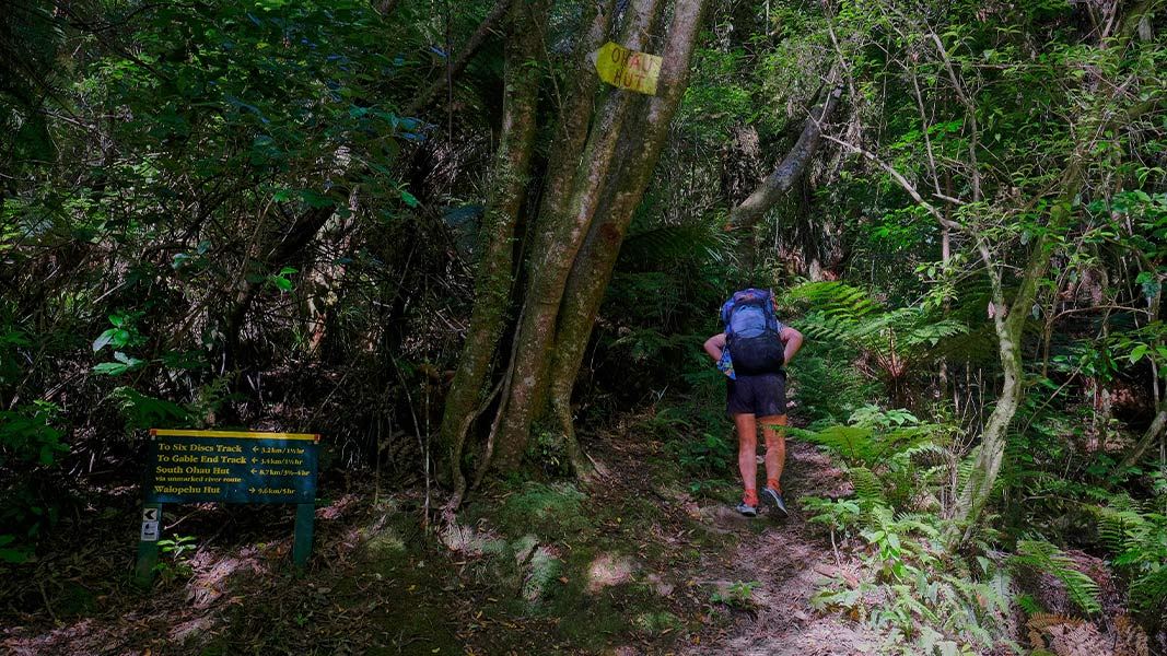
Waiopehu Track (Poads Road to Waiopehu Hut)
Intermediate • 4-5 hr • 8.89 km • 2.31 km away
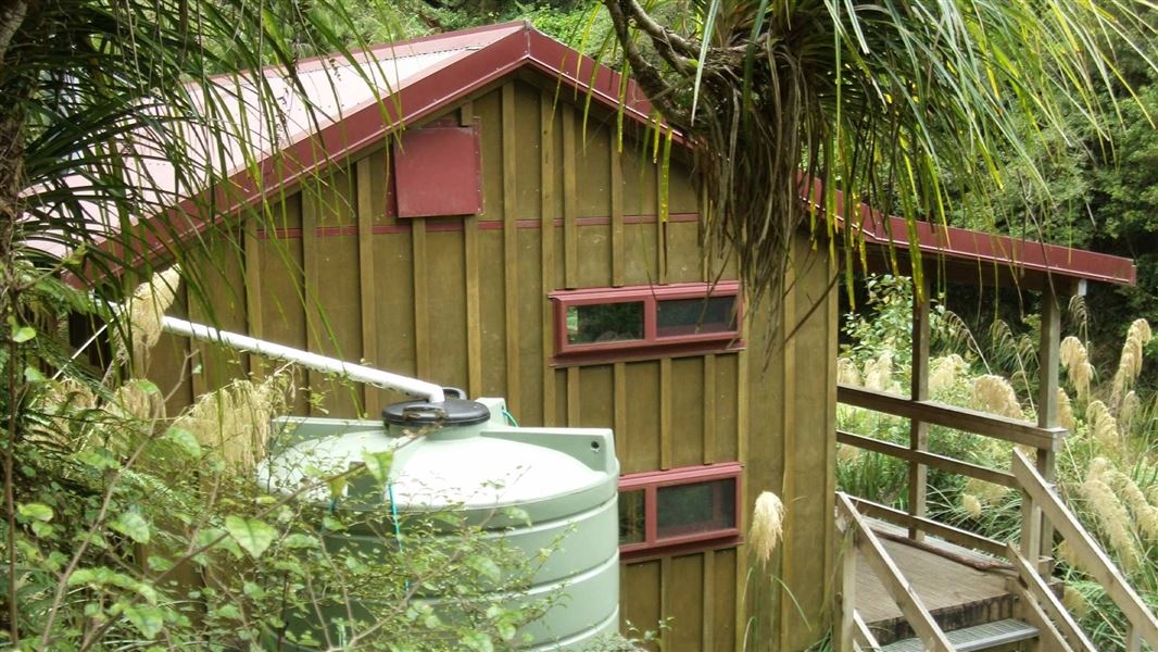
South Ohau Hut via Waiopehu and Dora Ridge
Advanced • 7-8 hr • 6.75 km away
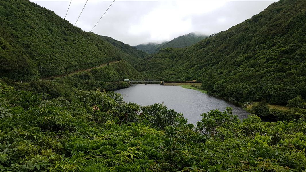
Mangahao Makahika Track
Advanced • 6 - 7 hrs going south, 7- 8 hrs going north • 13 km • 7.24 km away
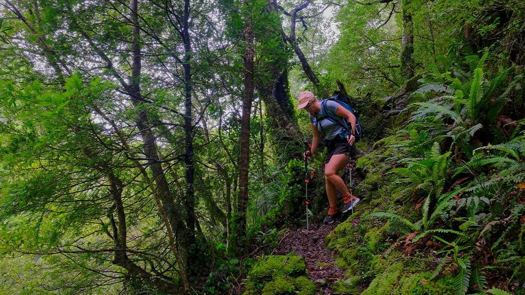
Mangahao Track
Advanced • 6-7 hr • 11.4 km • 7.41 km away
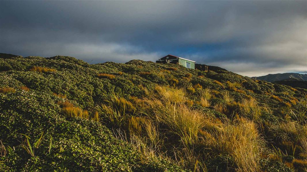
Burn Hut Track
Advanced • 11.6 km away
Notes from people who have been
No notes yet. If you have been, say what you found.
Something missing or out of date?
Closed, moved, wrong facts, or something we have missed? Travellers keep the Road Guide up to date. Tell us what you found at contribute@parkup.nz and we will check it and add it.
Ask us to take this down
A person reads every request. We do not remove a place until we have checked it.
Sources
- DOC Tracks (API) · CC BY 4.0Crown Copyright: Department of Conservation Te Papa Atawhai. Data sourced from the DOC Developer Portal (api.doc.govt.nz).