Ohakune Old Coach Road
WalkManawatū-Whanganui
- Grade
- Easy
- Walking time
- 4 hr 30 min
- Distance
- 15 km
- Biking time
- 2 hr 20 min
- Dogs
- No dogs
Access: read before you go
Take great care and watch for trains when crossing the railway line at Taonui. As the track passes the main trunk line, be conscious of rail traffic and do not enter the railway corridor. Unless you have a valid permit from KiwiRail, walking on or beside the tracks is trespassing and is extremely dangerous. One of the highlights of the track is seeing the historic railway tunnels and viaducts. The Hapuawhenua Viaduct is open and can be crossed if you wish, but the other historic viaducts (Taonui and Haeremaere) are derelict and dangerous – do not climb on them. Pack a torch for exploring the curved railway tunnel at Hapuawhenua.
The track weaves through Tongariro National Park and there are no bins on site. Take all your rubbish away with you. Toilets are available at the Hapuawhenua Viaduct, near the picnic area. No drones Flying a drone without a permit is strictly prohibited. Drone use on conservation land
Flying a drone without a permit is strictly prohibited. Drone use on conservation land
Source: DOC Te Papa Atawhai.
Getting there
We have not checked a road end or car park for this place yet, so we do not give driving directions to it. Check how to get there before you go. Some routes cross private land and need the landowner's permission.
How to get there, on doc.govt.nzMap
Map data © OpenStreetMap contributors. Topo map: LINZ, CC BY 4.0. 39.37496° S, 175.38420° E
About this place
Take a trip back into New Zealand's rail heritage while you walk or cycle an old coach road. The road was used to carry passengers and goods between two railheads on the North Island main trunk link before they were linked in 1908.
The route
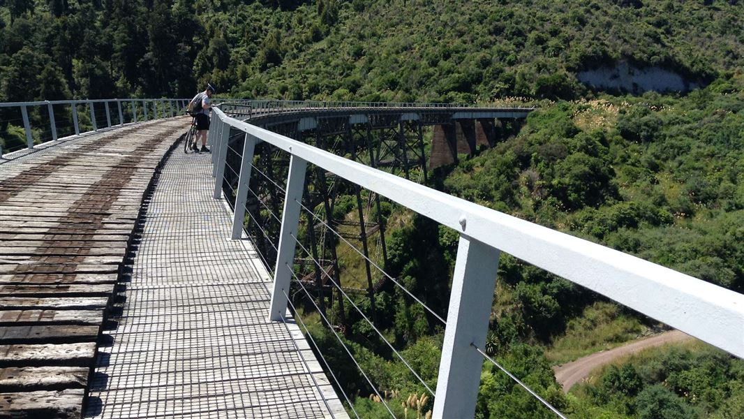
Heritage features on the trail include a unique cobbled road, massive steel viaducts, a curved tunnel, railway bridge remains, and old campsites. The journey also takes visitors through some beautiful stands of native forest with sweeping views across the district.
Ohakune Railway Station to Marshalls Road carpark
From the station follow the footpath to the Mangawhero River Bridge and cross over onto Old Station Road. Continue about 1.5 kilometres and turn right onto Marshalls Road. Rongokaupo Wetland and picnic area, a community project under development, is situated about 350 metres before Marshalls Road carpark. The track continues from the car park.
Marshalls Road carpark to Hapuawhenua Viaduct
From the car park the track follows the Ohakune Old Coach Road, weaving its way through rolling farmland with views over the spectacular Ohakune Basin. It then heads into native bush toward the Hapuawhenua Viaducts. Cobblestones (setts) are still evident along the track. Explore the Hapuawhenua Tunnel and marvel at the workmanship of yesteryear. The track climbs up to a ridge before dropping into the Hapuawhenua Valley. There are good stands of kahikatea, rimu, mataī and ponga along the way. From this point the two viaducts come into view. Walk the historic Hapuawhenua Viaduct and enjoy both old and new viaducts and native forest surrounds. The limestone cliff that is visible high up on top of Raetihi Hill is a reminder that this area was once under the sea. From here you can return to Ohakune or carry on to Horopito.
Hapuawhenua Viaduct to Horopito
From the western end of Hapuawhenua Viaduct access the cycle trail to Horopito. The trail passes through a beautiful section of native bush before coming out on the original Old Coach Road again. This is known as the Skyline section; some kilometres of it can be very muddy and difficult for less experienced riders. On the way to the highest point the trail passes the old quarry which supplied much of the rock for the cobbles as the old dray road was upgraded to a coaching road in 1905. At the top of the ridge you again pass by some magnificent rimu and rātā trees and there are beautiful views over farmland and hills. Throughout this part of the trail there are old campsites established when the dray road was upgraded. While not much can be seen of them, they are a reminder of the hardships the road workers and their families faced while living in canvas covered houses in the midst of a cold, wet rainforest. Shortly after crossing the bridge over a beautiful spring-fed stream, there is a grassed picnic area surrounded by rimu and tawa trees. This is an ideal place to stop for a rest before continuing through the forest, down the hill to Taonui Stream and under the new Taonui Rail Bridge. The trail follows the stream down to the historic Taonui Viaduct. From the top of the viaduct you follow part of the old railway alignment through to the present day railway line. The railway line must be crossed at the designated crossing point. Use caution when looking for trains which regularly use the line. From the railway line the next points of interest are the old viaduct abutments across Haeremaere Stream. From here the trail crosses the stream and follows the Old Coach Road through to Horopito.
Mountain biking
This is a shared-use track. Follow the mountain bikers code : respect others, respect the rules, respect the track.
Source: DOC Te Papa Atawhai.
Know before you go
Expect a shared use track with uneven surfaces
The Ohakune Old Coach Road is a walking track and an Intermediate: Grade 3 mountain biking trail. Expect to encounter walkers and cyclists going in both directions, so go slowly on blind corners and respect other track users. Some sections of the track are gravel, some are historic cobblestones (these are bumpy to ride over). There are steep sections, mud, narrow bits of track and tight corners. If you are biking, you will need a mountain bike (or mountain e-bike) in good working order – a road bike isn’t suitable for this track.
Take extra care - you are biking in a remote area
Take extra care when biking the uneven sections of track. If you get hurt, help can take a long time to reach you as access is difficult. In the event of an emergency, track markers will help emergency services locate you. There are KM markers placed along the track at every kilometre starting with KM 0 at the Ohakune Railway Station and KM 15 at Horopito. Should you have an accident, report the nearest KM marker number as reference of your location in your 111 call. Carry a PLB and a charged mobile phone. Mobile phone reception is available on most sections (except for gullies) of the track.
Be careful around working railway lines and historic viaducts
Take great care and watch for trains when crossing the railway line at Taonui. As the track passes the main trunk line, be conscious of rail traffic and do not enter the railway corridor. Unless you have a valid permit from KiwiRail, walking on or beside the tracks is trespassing and is extremely dangerous. One of the highlights of the track is seeing the historic railway tunnels and viaducts. The Hapuawhenua Viaduct is open and can be crossed if you wish, but the other historic viaducts (Taonui and Haeremaere) are derelict and dangerous – do not climb on them. Pack a torch for exploring the curved railway tunnel at Hapuawhenua.
Take rubbish with you, toilet available at Hapuawhenua
The track weaves through Tongariro National Park and there are no bins on site. Take all your rubbish away with you. Toilets are available at the Hapuawhenua Viaduct, near the picnic area. No drones Flying a drone without a permit is strictly prohibited. Drone use on conservation land
No drones
Flying a drone without a permit is strictly prohibited. Drone use on conservation land
Source: DOC Te Papa Atawhai.
Nearby stops

Mangawhero Campsite
Standard • Manawatū-Whanganui • 4.4 km
Mangawhero Campsite is a forest campsite located on the flanks of Mount Ruapehu in the Manawatū-Whanganui region. It serves as a base for exploring Tongariro…
Non-powered/tent sites • Water from tap - not treated, boil before use • Toilets - non-flush
Ohakune Top 10 Holiday Park
Manawatū-Whanganui • 4.8 km
Ohakune Top 10 Holiday Park is a campsite located in the Manawatū-Whanganui region. It provides basic accommodation for visitors exploring the surrounding area.
Mangaiti Hut
Manawatū-Whanganui • 10.2 km
Mangaiti Hut is a basic shelter located in the Manawatū-Whanganui region of New Zealand. The provided records do not include specific details about its…
Raetihi Holiday Park
Manawatū-Whanganui • 10.7 km
Rangataua Road End Carpark
Manawatū-Whanganui • 11 km
Rangataua Road End Carpark is in Rangataua Conservation Area in Ruapehu District. Certified self-contained vehicles may stay up to four nights in one calendar…
Walks nearby
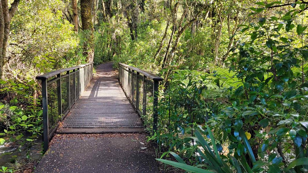
Mangawhero Forest Walk
Easiest • 1 hr 5 min loop • 3.4 km • 3.99 km away
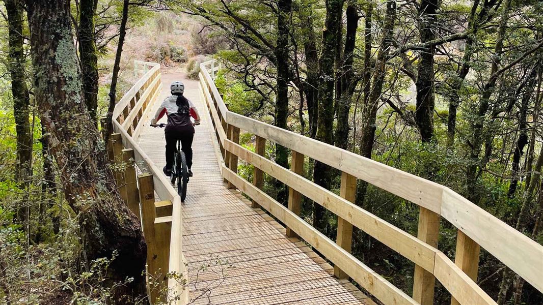
Te Ara Mangawhero
Easy • 4 + hrs • 12.95 km • 4.62 km away
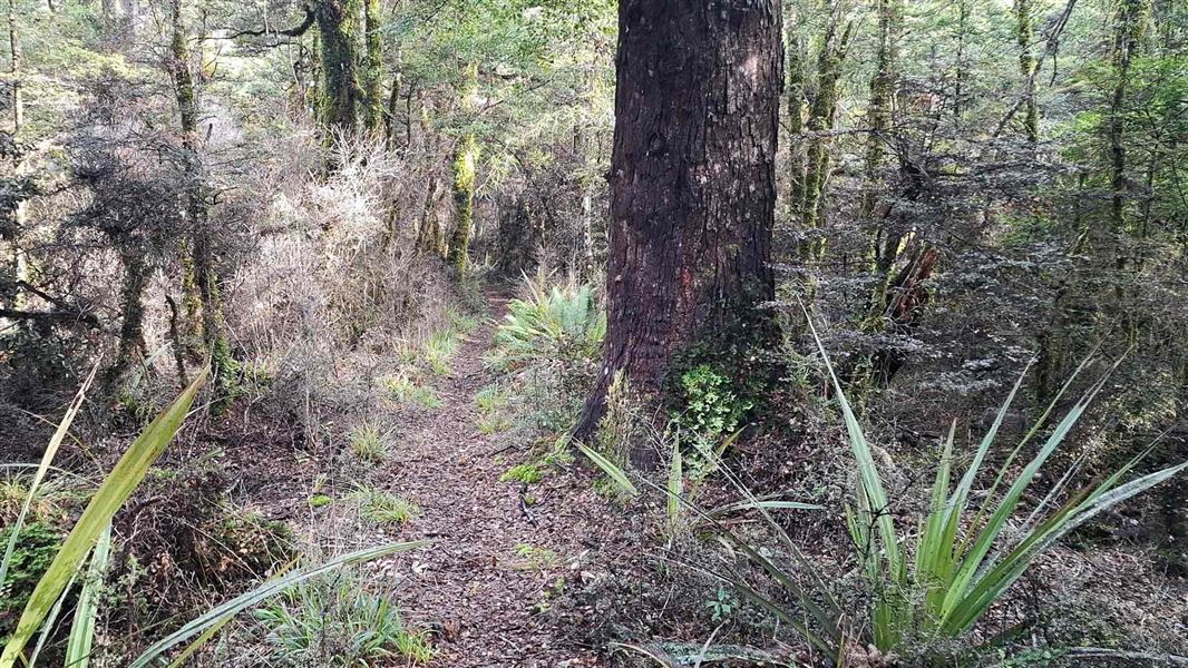
Old Blyth Track
Intermediate • 1 hr 30 mins to Round the Mountain track junction • 5.3 km • 9.95 km away
Horopito Track
Expert • 12 km • 9.97 km away
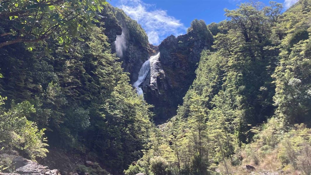
Waitonga Falls Track
Easy • 1 hr 20 min • 4 km • 11.43 km away
Notes from people who have been
No notes yet. If you have been, say what you found.
Something missing or out of date?
Closed, moved, wrong facts, or something we have missed? Travellers keep the Road Guide up to date. Tell us what you found at contribute@parkup.nz and we will check it and add it.
Ask us to take this down
A person reads every request. We do not remove a place until we have checked it.
Sources
- DOC Tracks (API) · CC BY 4.0Crown Copyright: Department of Conservation Te Papa Atawhai. Data sourced from the DOC Developer Portal (api.doc.govt.nz).