Nīkau Bush Conservation Area Walk
WalkOpen
- Grade
- Easy
- Walking time
- 1 hr
- Route
- Loop
- Dogs
- No dogs
Getting there
We have not checked a road end or car park for this place yet, so we do not give driving directions to it. Check how to get there before you go. Some routes cross private land and need the landowner's permission.
How to get there, on doc.govt.nzA sign on Chatham Island's North Road, one and a half kilometres past Pana/Blind Jim's Creek, marks the access to the reserve. To reach the entrance, walk uphill for a kilometre following the fenceline marked with orange triangles to an entrance stile and sign.
Source: DOC Te Papa Atawhai.
Map
Map data © OpenStreetMap contributors. Topo map: LINZ, CC BY 4.0. 43.76378° S, 176.56773° W
About this place
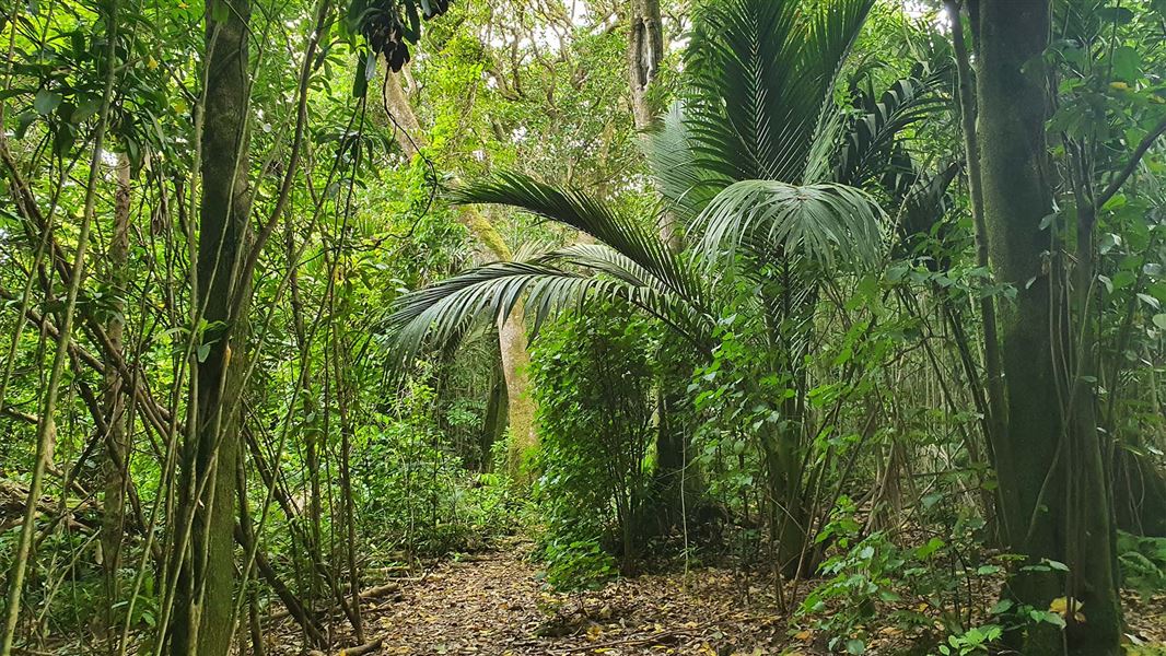
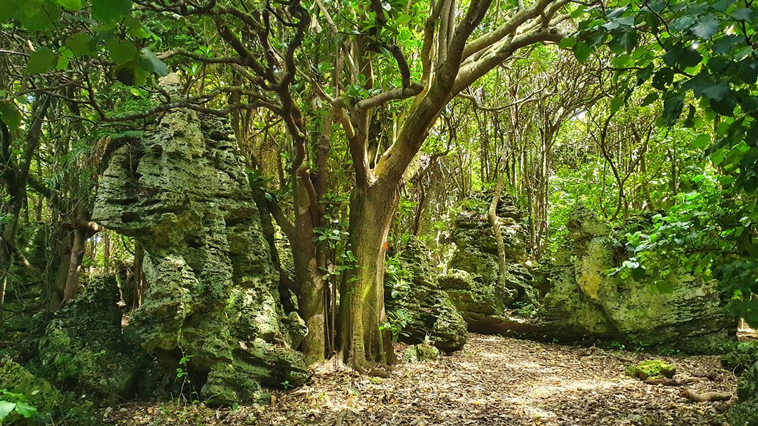
A short track follows a loop that takes in some peaceful forest glades in among lush regeneration beneath stately palms.
The route
Nīkau Bush Conservation Area contains 19 hectares of lowland broadleaved forest. Since it was fenced regeneration has been prolific and the Nīkau flowering in December and January is spectacular. A short track follows a loop through the forest and takes in some peaceful forest glades in among lush regeneration beneath stately palms. The round trip from the road takes about one hour.
Source: DOC Te Papa Atawhai.
Notes from people who have been
No notes yet. If you have been, say what you found.
Something missing or out of date?
Closed, moved, wrong facts, or something we have missed? Travellers keep the Road Guide up to date. Tell us what you found at contribute@parkup.nz and we will check it and add it.
Ask us to take this down
A person reads every request. We do not remove a place until we have checked it.
Sources
- DOC Tracks & Trails · CC BY 4.0Data sourced from the Department of Conservation (DOC), New Zealand.
- DOC Tracks (API) · CC BY 4.0Crown Copyright: Department of Conservation Te Papa Atawhai. Data sourced from the DOC Developer Portal (api.doc.govt.nz).