Mount Tutamoe Track
WalkNorthland
- Grade
- Advanced
- Walking time
- 4 hr
- Distance
- 4 km
- Dogs
- DOC permit only
Getting there
We have not checked a road end or car park for this place yet, so we do not give driving directions to it. Check how to get there before you go. Some routes cross private land and need the landowner's permission.
How to get there, on doc.govt.nzTrack starts off Tangowahine Valley Road. Get there from Dargaville, Whangārei, or Kaikohe.
From Dargaville or Whangārei, turning off SH14 at Tangowahine signposted as Pakotai 26 km and Kaikohe 66 km. Stay on this route until you see a yellow sign indicating Tangowahine Valley Road (no exit). Continue this road up the valley for almost 24 km.
From Kaikohe, head south on Mangakahia Road for 37 km. Turn right onto Opouteke Road, and follow the road for about 4 km. Turn left on to Murray Road, then right onto Tangowahine Valley Road. Follow this for about 6.4 km.
The track is clearly marked at the forestry road entrance. From the car park follow the forestry road for 2.2 km before leaving the road and entering pine forest. The track follows orange marker posts and triangles.
Source: DOC Te Papa Atawhai.
Map
Map data © OpenStreetMap contributors. Topo map: LINZ, CC BY 4.0. 35.75114° S, 173.81340° E
About this place
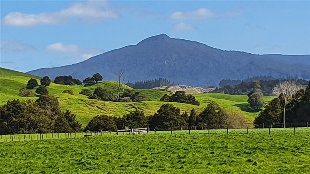
Climb through Kaihu Forest to the top of Mount Tutamoe and you will be rewarded by stunning, panoramic views.
The route
This track travels up through pine plantation and then enters Kaihu Forest climbing to Mount Tutamoe. The first hour is spent climbing up through the pine plantation along forestry roads – orange pole markers show the way and there are large orange triangles at road junctions. Along the way, you get pleasant views of the valley below. Once in the bush, the track follows up a ridge through dense lowland hardwood/podocarps forest of mainly tawa, towai, maire, miro and rimu. After a steady climb for about 40 minutes, the track gets very steep in the last 50 m before the summit and you will need to climb over rocks and roots.
Source: DOC Te Papa Atawhai.
Nearby stops
Kauri Coast Top 10 Holiday Park
Northland • 12.6 km

Trounson Kauri Park Campground
Serviced • Northland • 14.9 km
Trounson Kauri Park Campground is a serviced campsite located in the Kauri Coast area of Northland. It offers the chance to camp beside a small kauri stand,…
Cookers/electric stove • Non-powered/tent sites • Powered sites
Pine Beach Camp Ground
Northland • 15 km
Freedom Camping and Water
Northland • 18.4 km
Freedom Camping and Water is a campsite located in the Northland region of New Zealand. The provided records do not list specific facilities or details for…
Notes from people who have been
No notes yet. If you have been, say what you found.
Something missing or out of date?
Closed, moved, wrong facts, or something we have missed? Travellers keep the Road Guide up to date. Tell us what you found at contribute@parkup.nz and we will check it and add it.
Ask us to take this down
A person reads every request. We do not remove a place until we have checked it.
Sources
- DOC Tracks (API) · CC BY 4.0Crown Copyright: Department of Conservation Te Papa Atawhai. Data sourced from the DOC Developer Portal (api.doc.govt.nz).