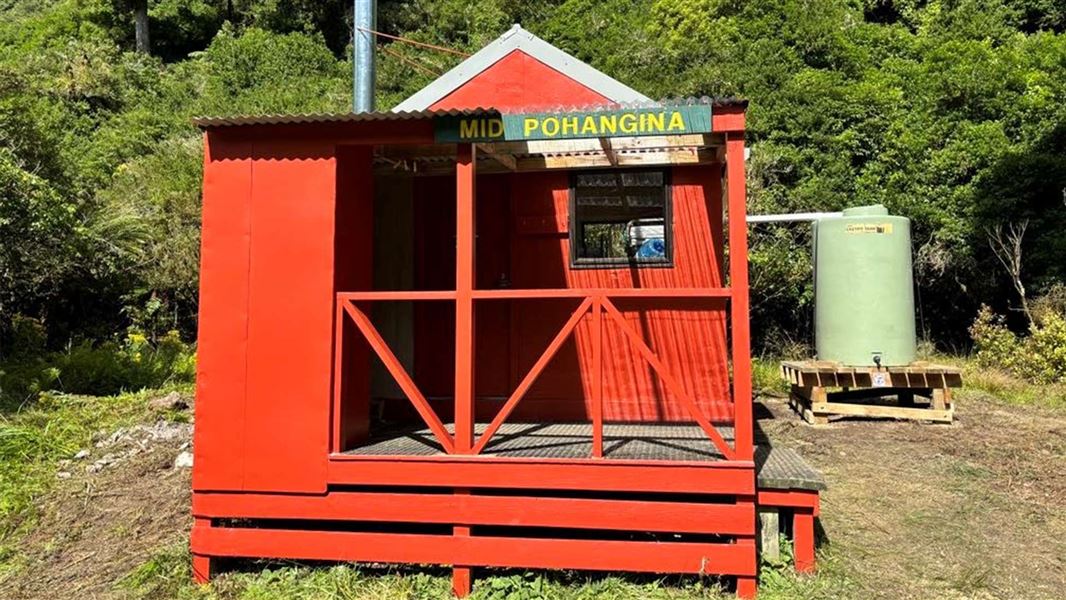
Mid Pohangina Hut
Standard hutRuahine Forest Park, Manawatū-WhanganuiOpen
Current advisories
Mid Pohangina Track to Takapari Road via CE Track closed
09 August 2026
Mid Pohangina Track to Takapari Road via CE Track (which runs between Takapari Road and the Mid Pohangina Hut Sidle Track) is closed due to poor condition. This includes slips, windfall, vegetation, and incorrect marking. Use alternative tracks. This is a long term alert. First published on 27 March 2023. Last reviewed on 10 August 2026.
Source: DOC Te Papa Atawhai alerts.
- Sleeps
- 4 bunks
- Booking
- Not bookable
- Cost
- from $15
- Heating
- Yes
- Drinking water
- Boil first
- Toilet
- Non-flush
Getting there
We have not checked a road end or car park for this place yet, so we do not give driving directions to it. Check how to get there before you go. Some routes cross private land and need the landowner's permission.
How to get there, on doc.govt.nzTime: 5.5 – 7.5 hours one wayDistance: 10km
Start from Takapari Road at the Ruahine Forest Park boundary. Walk up the gravel road for approximately 2 km / 30 min until you reach the DOC sign directing left to Mid Pohangina Hut. At the sign, turn left onto the Mid Pohangina Track to Takapari Road via CE Track.
Follow the Mid Pohangina Track to Takapari Road via CE track for 1.5 km / 1 hr to the junction where it meets the Mid Pohangina Hut Sidle Track. Turn right onto the Mid Pohangina Hut Sidle Track.
Follow the Mid Pohangina Hut Sidle Track for 6.5 km / 4-6 hrs until you reach Mid Pohangina Hut.
Time: 6.5 hours one wayDistance: 13 km
Park at the Tamaki West Road, Dannevirke carpark. Follow the Homes Ridge Track to Stanfield Hut. This is a 5 km walk that takes about 2 hours. It involves river travel.
From Stanfield Hut, follow the Stanfield Hut to Cattle Creek Hut Track to Cattle Creek Hut. This is a 4 km walk that takes about 2 hours. It involves one river crossing.
From Cattle Creek Hut, follow the river to Mid Pohangina Hut. This is a 4 km walk that takes about 2 hr 30 min. Note that this river access way is not via a DOC track; there is no signage or markers.
It’s dangerous to cross or follow the river when the water level is high which can occur during or after heavy rain.
Read more about how to cross rivers safely.
- Topo map
- Topo50 sheet BL36
- Grid reference
- E1859098, N5561813
Source: DOC Te Papa Atawhai.
Map and tracks
Track lines: DOC Te Papa Atawhai. Map data © OpenStreetMap contributors. Topo map: LINZ, CC BY 4.0. 40.05464° S, 176.03653° E
About this place
This is a standard four-bunk hut in the Ruahine Forest Park maintained by the Palmerston North Tramping and Mountaineering Club.
On the way here
Limestone Road to Pohangina Valley East Road · 3 days
Day 2: Leon Kinvig Hut to Mid Pohangina Hut
Times: 6 - 8 hr Travel down the Pohangina River for approximately one hour before taking a short steep 15 minute track on the true left that detours around an impassable gorge. From here return to the river and continue down to Ngamoko Hut (4 - 5 hr) on the true right. Stay in the river from here all the way down to Mid Pohangina Hut (2 - 3 hr) situated in a clearing on the true left. Numerous river crossings are required this day and in times of normal flow are generally below thigh level. Keep an eye out for the endangered whio (Blue duck) who live along this stretch of the river. Note: This route is not possible when river levels are high following heavy rain.
Day 3: Mid Pohangina Hut to Pohangina Valley East Road
Times: 5 - 7 hr From Mid Pohangina Hut climb a short steep section of track up and over a rocky promontory before descending down to the river. The swingbridge has been removed so follow a marked detour off the main track to the river crossing. The track then climbs and sidles high above the river for 3 - 4 hours before dropping down to the park boundary and out across farmland to Pohangina Valley East Road.
Source: DOC Te Papa Atawhai.
Know before you go
Stay safe when crossing rivers and streams
If you plan to cross unbridged rivers or side streams, know how to cross safely and be prepared for if you cannot cross. Do not cross if the river or stream is flooded, you cannot find safe entry and exit points or are unsure it’s safe. Turn back or wait for the river to drop. If in doubt, stay out. How to cross rivers safely NIWA river flow forecasts: View a video of national followed by regional river flows
Source: DOC Te Papa Atawhai.
Fees and bookings
Before you go, buy Hut Tickets for each night's stay. Put these in the honesty box at the hut. Or buy a Backcountry Hut Pass that gives unlimited use at most Standard and Serviced huts for a 12 month period. Retailers that sell hut tickets and passes
Source: DOC Te Papa Atawhai.
On these tracks
Source: DOC Te Papa Atawhai.
Nearby stops
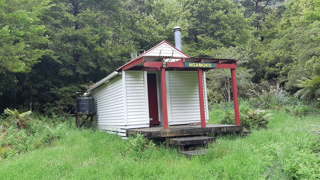
Ngamoko Hut
Standard • 6 bunks • Manawatū-Whanganui • 2.6 km
Ngamoko Hut is a standard six-bunk hut located in the Manawatu region. It is maintained by the Palmerston North Tramping and Mountaineering club.
Heating • Mattresses • Toilets - non-flush
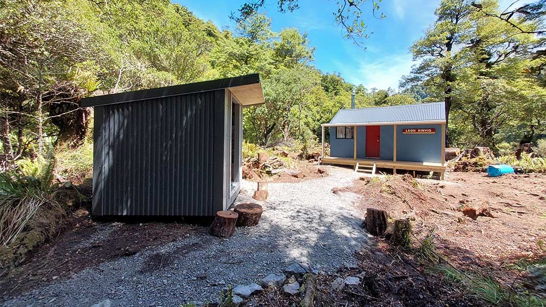
Leon Kinvig Hut
Standard • 8 bunks • Manawatū-Whanganui • 6 km
Leon Kinvig Hut is a standard eight-bunk hut located in the Manawatu region.
Heating • Mattresses • Toilets - non-flush
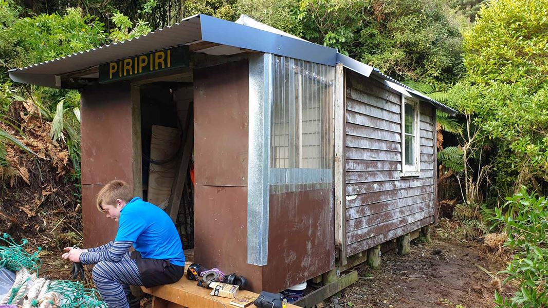
Piripiri Hut
Basic/bivvies • 2 bunks • Manawatū-Whanganui • 2.4 km
Heating • Mattresses • Toilets - non-flush
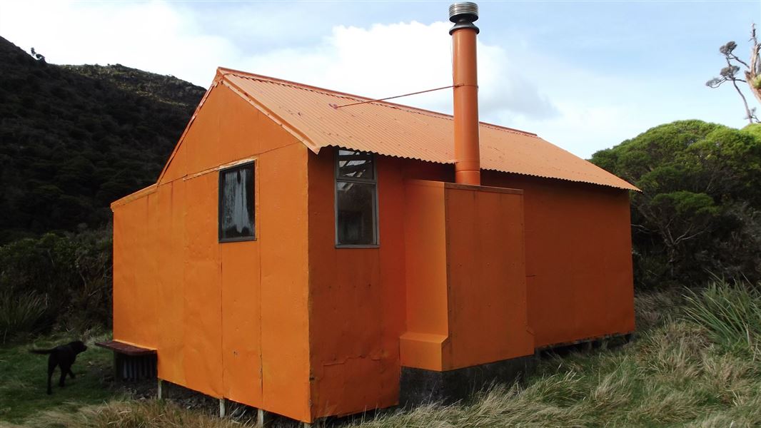
Cattle Creek Hut
Standard • 8 bunks • Manawatū-Whanganui • 2.6 km
Cattle Creek Hut is a standard eight-bunk hut located in the Manawatu region.
Heating • Mattresses • Toilets - non-flush
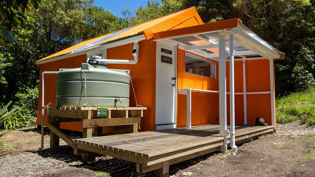
Stanfield Hut
Standard • 8 bunks • Manawatū-Whanganui • 3.8 km
Stanfield Hut is a standard eight-bunk hut located in the Hawke's Bay region. It serves as a suitable destination for day walks and provides overnight…
Cooking • Toilets - non-flush • Water from tap - not treated, boil before use
Walks nearby
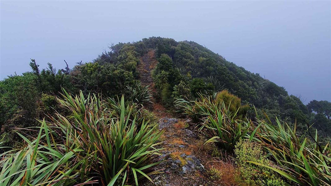
Stanfield Hut to Cattle Creek Hut Track
Advanced • 2 hr • 4 km • 3.33 km away
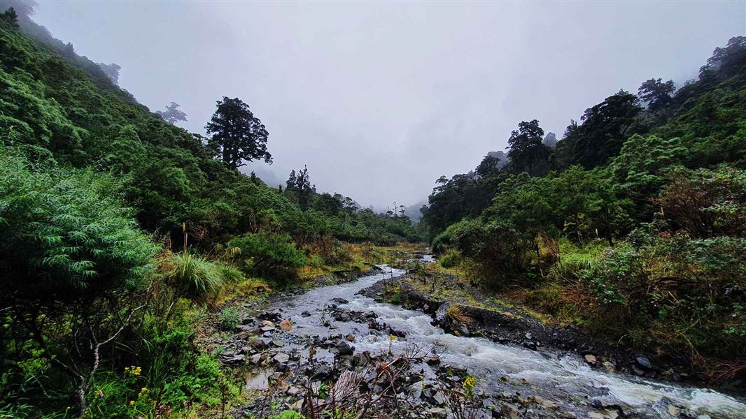
Homes Ridge Track
Advanced • 2 hr • 5 km • 6.08 km away
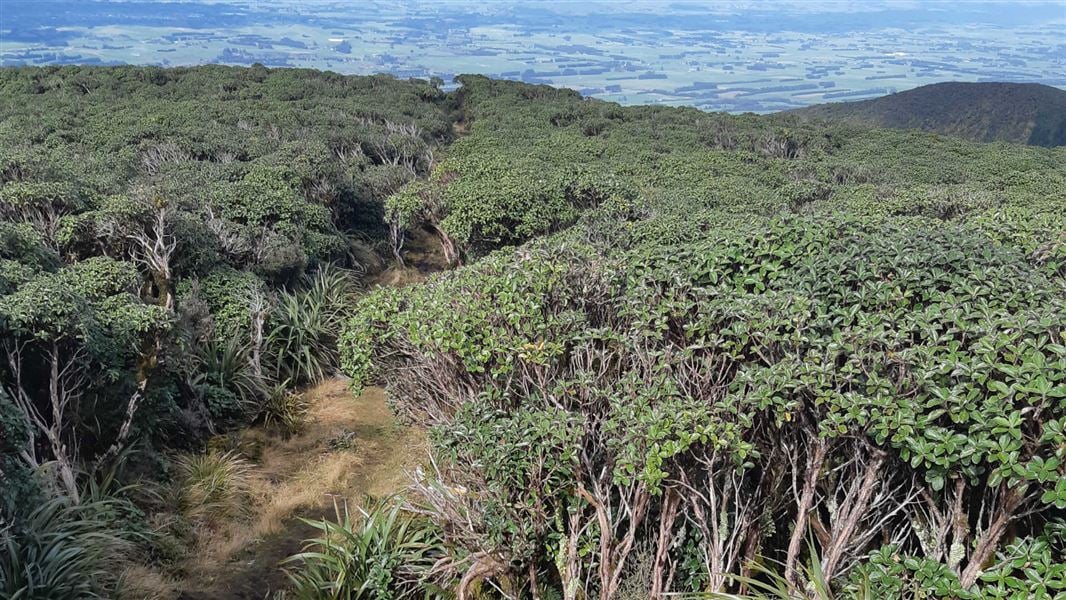
A-Frame Hut and Takapari Road Track
Advanced • 2 hr 30 min one way • 3.1 km one way • 6.81 km away
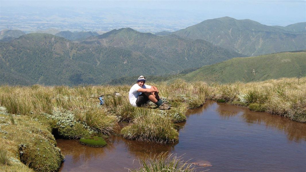
Knights-Shorts Loop Track
Advanced • 8 - 10 hr • 7.44 km away
Deerford Loop Track
Advanced • 1 hr 30 min return or 3-4 hr full circuit • 4.3 km • 7.76 km away
Contact
DOC Customer Service Centre
Regional DOC service centre.
Notes from people who have been
No notes yet. If you have been, say what you found.
Something missing or out of date?
Closed, moved, wrong facts, or something we have missed? Travellers keep the Road Guide up to date. Tell us what you found at contribute@parkup.nz and we will check it and add it.
Ask us to take this down
A person reads every request. We do not remove a place until we have checked it.
Sources
- DOC Huts (API) · CC BY 4.0Crown Copyright: Department of Conservation Te Papa Atawhai. Data sourced from the DOC Developer Portal (api.doc.govt.nz).
- DOC Huts · CC BY 4.0Data sourced from the Department of Conservation (DOC), New Zealand.
- OpenStreetMap Huts · ODbL (Open Database License)Contains information from OpenStreetMap, made available under the ODbL.