Mangorewa Track
WalkBay of Plenty
- Grade
- Expert
- Walking time
- 5 hr 30 min
- Distance
- 9 km
- Dogs
- No dogs
Getting there
We have not checked a road end or car park for this place yet, so we do not give driving directions to it. Check how to get there before you go. Some routes cross private land and need the landowner's permission.
How to get there, on doc.govt.nzThe Mangorewa Ecological Area is 20 km north of Rotorua on the western side of Tauranga Direct Road (SH 36). Coming from Rotorua, the car park is on the left just before the bridge at the bottom of the gorge area, next to the exit from Mangorewa Stream. The track entrance is 500 m north of the car park on the left. Carefully cross the road, walking north (against the traffic) and cross the second bridge. 100 m up the hill, carefully cross the road again to find the track entrance immediately behind the sign for the Mangorewa Ecological area.
Source: DOC Te Papa Atawhai.
Map
Map data © OpenStreetMap contributors. Topo map: LINZ, CC BY 4.0. 37.97165° S, 176.15323° E
Got a good photo of this place? Send it to us and we will show it with your name.
About this place
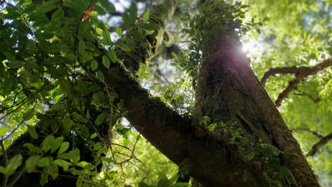
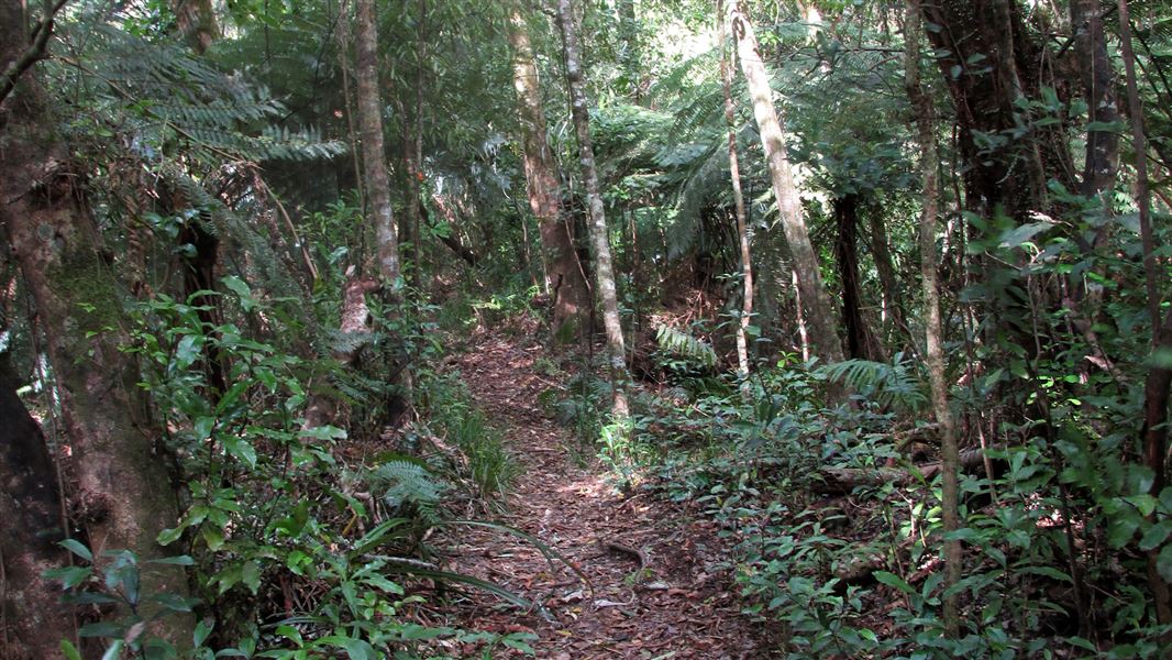
This track passes through a fine example of lowland forest, one of the few areas left unlogged on the Mamaku Plateau.
The route
From the track entrance the track leads directly to the Ohaupara Stream. The track crosses the stream several times before climbing to a ridge. Take the left fork and descend for an hour to a small stream. A 1-hour climb will take you to an open area, and a further half-hour to Mangorewa Stream. From there, you can return the way you came or walk down the Mangorewa stream (3 hours to the car park). This route is passable only when the river level is low and is suitable only for experienced trampers wearing tramping boots. Take extreme care as the rocks are slippery, and there are numerous deep potholes to avoid. Leave the river bed via the right bank just before the road bridge. A small track exits the stream to the car park.
Source: DOC Te Papa Atawhai.
Nearby stops
TECT Freedom Camping
Bay of Plenty • 2.8 km
TECT Freedom Camping is a campsite located in the Bay of Plenty region. It provides a designated area for freedom camping within the local area.
Peterson Campsite
Bay of Plenty • 3.2 km
TECT All Terrain Park
Bay of Plenty • 3.2 km
TECT All Terrain Park is on Te Ara Raho Road off State Highway 36, between Tauranga and Rotorua. Self-contained vehicles may stay for up to three nights in any…
Hamurana Reserve, Lake Rotorua
Bay of Plenty • 11.2 km
Waiteti Trout Stream Holiday Park & Backpackers
Bay of Plenty • 12.3 km
Waiteti Trout Stream Holiday Park & Backpackers is a campsite located in the Bay of Plenty region. The provided data does not list specific facilities or…
Walks nearby
Notes from people who have been
No notes yet. If you have been, say what you found.
Something missing or out of date?
Closed, moved, wrong facts, or something we have missed? Travellers keep the Road Guide up to date. Tell us what you found at contribute@parkup.nz and we will check it and add it.
Ask us to take this down
A person reads every request. We do not remove a place until we have checked it.
Sources
- DOC Tracks (API) · CC BY 4.0Crown Copyright: Department of Conservation Te Papa Atawhai. Data sourced from the DOC Developer Portal (api.doc.govt.nz).