Mangapohue Natural Bridge Walk
WalkWaikatoOpen
- Grade
- Easiest
- Walking time
- 20 min
- Distance
- 700 m
- Route
- Loop
- Dogs
- No dogs
Getting there
We have not checked a road end or car park for this place yet, so we do not give driving directions to it. Check how to get there before you go. Some routes cross private land and need the landowner's permission.
How to get there, on doc.govt.nzThe track starts on Te Anga Road, 25 km from Waitomo Village.
Source: DOC Te Papa Atawhai.
Map
Map data © OpenStreetMap contributors. Topo map: LINZ, CC BY 4.0. 38.26108° S, 174.89962° E
About this place
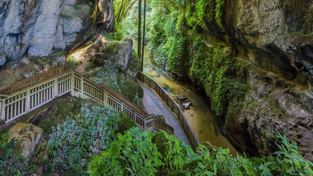
Walk through an impressive limestone gorge that passes underneath a 17 m high natural arch.
The route
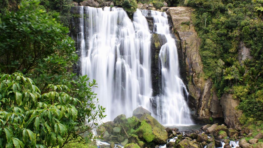
Mangapohue Natural Bridge is a highlight on the scenic drive from Waitomo Village to Marokopa. The track is pushchair-friendly and follows a boardwalk through an impressive limestone gorge that takes you underneath a natural bridge. The 17 m high limestone arch, which spans the Mangapohue Stream, is all that remains of an ancient cave system. From here the track becomes stepped and passes under the bridge giving a superb view of the ceiling studded with stalactite-like formations and an excellent view back down the gorge. Combine this walk with Piripiri Cave Walk and Marokopa Falls Walk on a scenic drive from Waitomo to Marokopa.
Source: DOC Te Papa Atawhai.
Walks nearby
Something missing or out of date?
Closed, moved, wrong facts, or something we have missed? Travellers keep the Road Guide up to date. Tell us what you found at contribute@parkup.nz and we will check it and add it.
Ask us to take this down
A person reads every request. We do not remove a place until we have checked it.
Sources
- DOC Tracks (API) · CC BY 4.0Crown Copyright: Department of Conservation Te Papa Atawhai. Data sourced from the DOC Developer Portal (api.doc.govt.nz).
- DOC Tracks & Trails · CC BY 4.0Data sourced from the Department of Conservation (DOC), New Zealand.