Mackintosh carpark to Lawrence Road end via Mackintosh Hut and Donald River
WalkHawke's Bay
- Grade
- Advanced
- Walking time
- 6 hr
- Dogs
- DOC permit only
Access: read before you go
We recommend 4WD vehicles to reduce wear on the road and safe travel.
Extreme fire conditions can exist during summer. The park is a restricted fire area, which means permits to light fires are required all year round.
Source: DOC Te Papa Atawhai.
Getting there
We have not checked a road end or car park for this place yet, so we do not give driving directions to it. Check how to get there before you go. Some routes cross private land and need the landowner's permission.
How to get there, on doc.govt.nzThis track starts at Mackintosh carpark.
We recommend 4WD vehicles to reduce wear on the road and safe travel.
Kaweka Forest Park access conditions
We recommend 4WD vehicles to reduce wear on the road and safe travel. Lotkow Road: The river crossings are regularly changing, check before crossing. Lakes carpark is accessible via Kuripapango road. The previous access Castle Rock road is now closed due to ongoing forestry operations. Lawrence Carpark access road: The last 600 m of the road is steep and not recommended for 2WD vehicles - a parking space is available before the descent. The Lawrence swing bridge has been removed. Mackintosh car park is currently closed due to ongoing forestry operations. A new parking location can be located at a skid site near the closed gate (end of Kuripapango Road), this will add on 500 m walking to reach the start of the track. Whittle Road: Be aware of trucks using the quarry. Give them right of way where possible.
Source: DOC Te Papa Atawhai.
Map and tracks
Track lines: DOC Te Papa Atawhai. Map data © OpenStreetMap contributors. Topo map: LINZ, CC BY 4.0. 39.34833° S, 176.42071° E
Got a good photo of this place? Send it to us and we will show it with your name.
About this place
An overnight or longer day tramp through manuka and beech forest, offering river scenery.
The route
From Makintosh car park, the track drops down a steep but well graded track to the Tutaekuri River. The Tutaekuri River is crossed by a steel pedestrian bridge. The track then climbs steeply – this section can be slippery, so we recommend good footwear and taking your time. Once the track reaches the top of Mackintosh Plateau, it continues on the flat through manuka and beech forest and through some open areas to the hut. This section of the track is new, as Cyclone Gabrielle destroyed a large section of the old track. The new track is steep in places, some experienced trampers walk up the creek to bypass the slip and then rejoin the old track. From Mackintosh Hut, the track follows the edge of the plateau. The track then drops steeply into the Donald River valley. The track crosses the river. There is no bridge, so assess the river carefully before crossing. Follow the track down the true left bank of Donald River. The track then crosses the river over a bridge and arrives at Lawrence campsite, shelter and road end.
Source: DOC Te Papa Atawhai.
Know before you go
Be ready for mountain weather
This is a mountainous area. Visitors should be prepared for sudden weather changes, whiteouts, high winds on the ranges and rapidly rising water levels in rivers and streams. Check the weather before you go. Kaweka J Summit weather forecast Pack for all conditions and be ready for weather delays, including with an emergency shelter, spare food and a distress beacon. Packing lists
Stay safe when crossing rivers and streams
If you plan to cross unbridged rivers or side streams, know how to cross safely and be prepared for if you cannot cross. Do not cross if the river or stream is flooded, you cannot find safe entry and exit points or are unsure it’s safe. Turn back or wait for the river to drop. If in doubt, stay out. How to cross rivers safely NIWA river flow forecasts: View a video of national followed by regional river flows
Expect a rough, slippery track
This is a backcountry tramping track and it is rough, muddy and slippery (especially after rain). It is best suited to experienced trampers with backcountry skills. You will need sturdy boots with good grip.
Fires
Extreme fire conditions can exist during summer. The park is a restricted fire area, which means permits to light fires are required all year round.
Maps
The Land Information New Zealand (LINZ) topographical maps that cover the Kaweka Forest Park are: Topo50 map BH36 - Motutere Topo50 map BH37 - Rangitaiki Topo50 map BH38 - Te Haroto Topo50 map BJ36 - Tawake Tohunga Topo50 map BJ37 - Kuripapango Topo50 map BJ38 - Te Pohue Topo50 map BK37 - Tikokino
Source: DOC Te Papa Atawhai.
Joins these tracks
Source: DOC Te Papa Atawhai.
Nearby stops

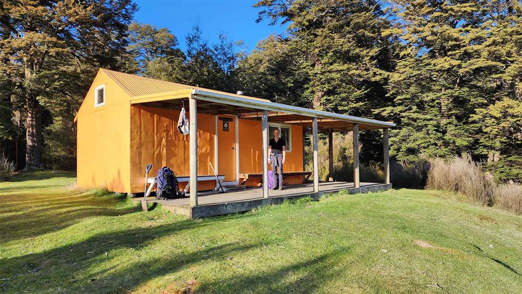
Lawrence Campsite
Basic • Hawke's Bay • 3.1 km
Lawrence Campsite is a basic campsite in Hawke's Bay that offers a pleasant setting for camping or picnicking. The area provides access to day and overnight…
Non-powered/tent sites • Water from stream • Toilets - non-flush
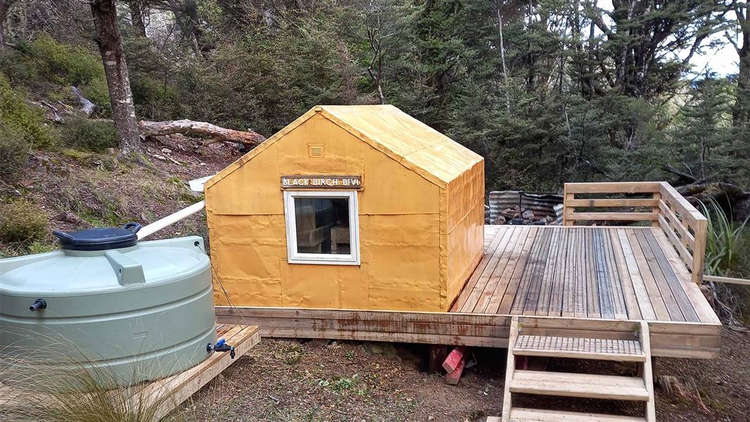
Black Birch Bivouac
Basic/bivvies • 2 bunks • Hawke's Bay • 5.4 km
Black Birch Bivouac is a basic two-bunk hut located in the Hawke's Bay region.
Mattresses
Lowry Shelter
Hawke's Bay • 6.7 km
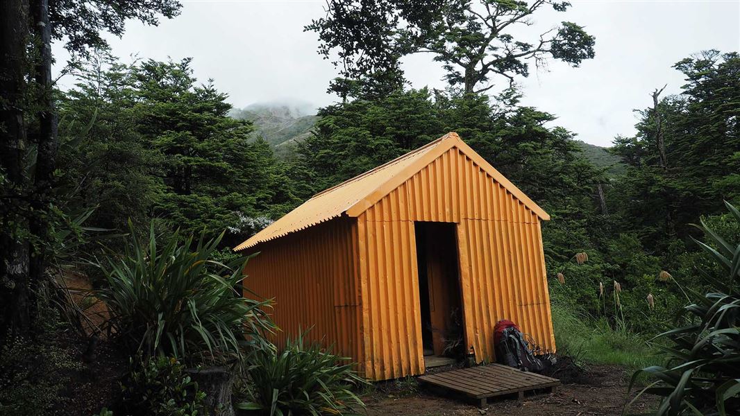
Makahu Saddle Hut
Standard • 4 bunks • Hawke's Bay • 6.9 km
Makahu Saddle Hut is located in Hawke's Bay within a mixed forest of red and mountain beech. It sits below the steep eroded scree slopes of the main Kaweka…
Heating • Mattresses • Toilets - non-flush
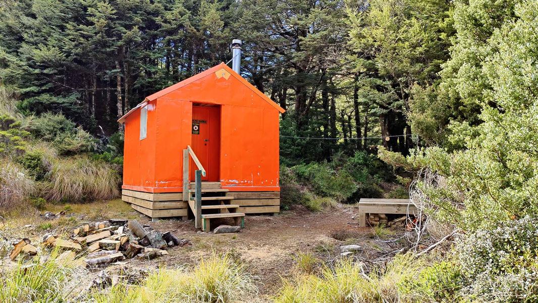
Studholme Saddle Hut
Standard • 4 bunks • Hawke's Bay • 7.2 km
Studholme Saddle Hut is a Department of Conservation hut located on the western side of the main Kaweka Range in Hawke's Bay. It sits south of Kaweka J.
Heating • Mattresses • Toilets - non-flush
Walks nearby
Lawrence Road tramping tracks
Advanced • 2.32 km away
Matauria Ridge Track (Makahu Saddle to Mackintosh Track Junction)
Advanced • 5.07 km • 4.35 km away
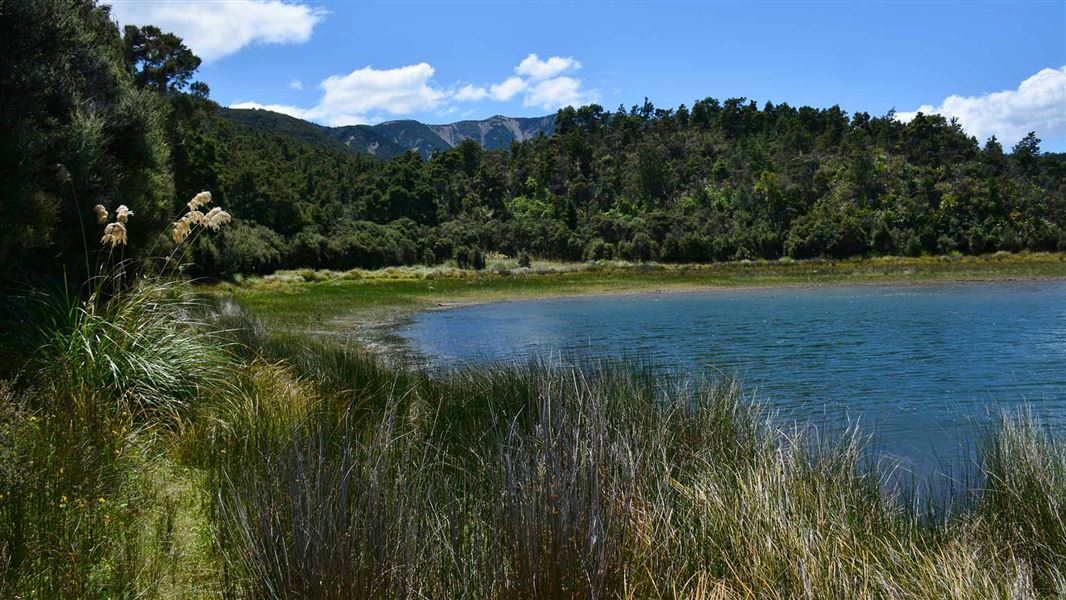
Lake Rototuna and Lake Rotoroa (Kaweka Lakes) Track
Easy • 30 mins from Lakes carpark to Lake Rototuna and Lake Rotoroa (one way) • 2.3 km from Lakes carpark to Kuripapango Road • 5.27 km away
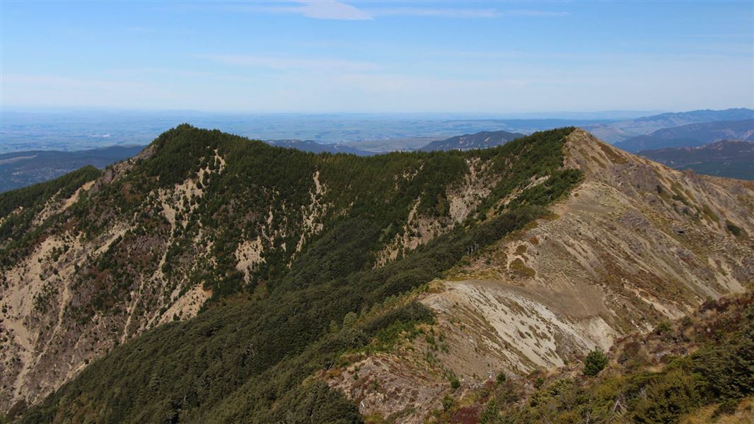
Lakes Carpark Loop – Rogue Ridge/Cooks Horn
Advanced • 3-4 hrs • 5.29 km away
Lakes carpark to Mt Kuripapango Track
Advanced • 2-3 hrs (one way) • 2.6 km (Lakes carpark to Mt Kuripapango one way) • 5.95 km away
Notes from people who have been
No notes yet. If you have been, say what you found.
Something missing or out of date?
Closed, moved, wrong facts, or something we have missed? Travellers keep the Road Guide up to date. Tell us what you found at contribute@parkup.nz and we will check it and add it.
Ask us to take this down
A person reads every request. We do not remove a place until we have checked it.
Sources
- DOC Tracks (API) · CC BY 4.0Crown Copyright: Department of Conservation Te Papa Atawhai. Data sourced from the DOC Developer Portal (api.doc.govt.nz).