Lower Ruamahanga Track to Cow Creek Hut, via Cow Saddle
WalkWellington
- Grade
- Expert
- Walking time
- 5 hr
- Dogs
- Under control
Getting there
We have not checked a road end or car park for this place yet, so we do not give driving directions to it. Check how to get there before you go. Some routes cross private land and need the landowner's permission.
How to get there, on doc.govt.nzThe track starts on Ruamahanga Gorge Road, off SH2 near Mt Bruce.
Source: DOC Te Papa Atawhai.
Map
Map data © OpenStreetMap contributors. Topo map: LINZ, CC BY 4.0. 40.75700° S, 175.51904° E
Got a good photo of this place? Send it to us and we will show it with your name.
About this place
This tramping track follows the lower Ruamahanga River then crosses Cow Saddle, to reach Cow Creek Hut.
The route
The track starts near the end of Ruamahanga Gorge Road. It follows the true right of the Ruamahanga River to Cleft Creek. From here it goes up and over Cow Saddle, then descends to a swing-bridge near Cow Creek Hut. There are many unbridged stream crossings on the track. Assess them carefully before crossing and if in doubt, stay out. Side trip from Cow Saddle: At the Cow Saddle, you can also follow a track that climbs to the 1130 m spot height.
Source: DOC Te Papa Atawhai.
Know before you go
Expect a backcountry tramping route
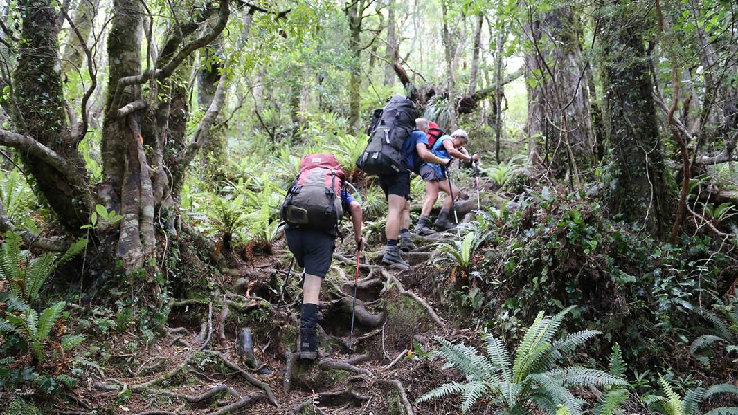
This track is a typical Tararua backcountry tramping route. It is rough, uneven, muddy and slippery, and you can expect to be scrambling up and over tree roots.
Pack for bad weather
The Tararua Forest Park is well known for wild, fast-changing and unpredictable weather. Always check the weather forecast . Pack warm and waterproof clothing, even if the forecast is good. Carry emergency equipment including a torch, spare food and a distress beacon. Find a tramping packing list here
Stay safe when crossing rivers and streams
If you plan to cross unbridged rivers or side streams, know how to cross safely and be prepared for if you cannot cross. Do not cross if the river or stream is flooded, you cannot find safe entry and exit points or are unsure it’s safe. Turn back or wait for the river to drop. If in doubt, stay out. How to cross rivers safely NIWA river flow forecasts: View a video of national followed by regional river flows
Source: DOC Te Papa Atawhai.
Nearby stops
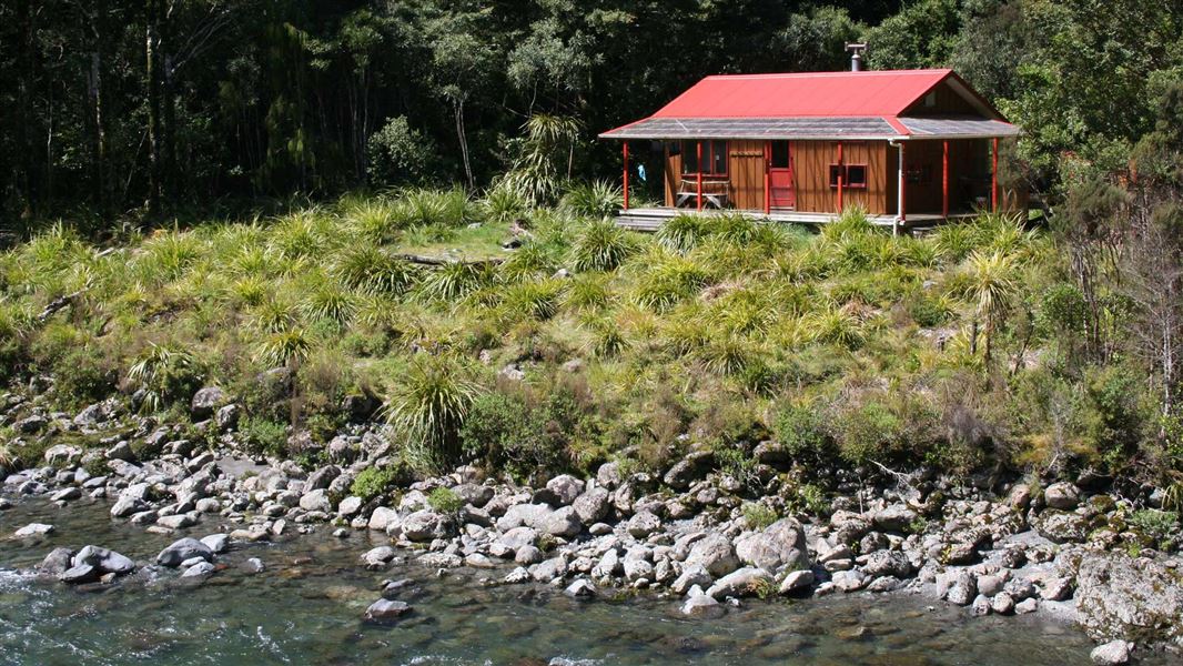
Roaring Stag Hut
Standard • 12 bunks • Wellington • 3 km
Roaring Stag Hut is a standard 12-bunk hut located in the Wairarapa region.
Heating • Mattresses • Toilets - non-flush

Cow Creek Hut
Standard • 6 bunks • Wellington • 3.2 km
Cow Creek Hut is a standard six-bunk hut located in the Wairarapa region of Wellington.
Heating • Mattresses • Toilets - non-flush
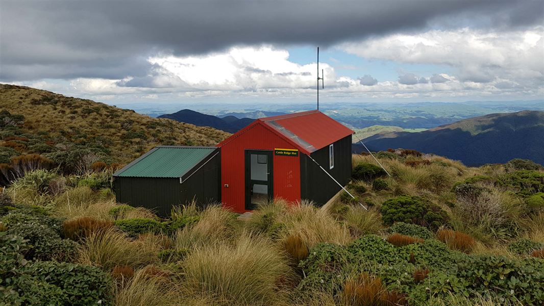
Cattle Ridge Hut
Standard • 5 bunks • Wellington • 3.3 km
Cattle Ridge Hut is a standard five-bunk hut located in the Wairarapa region.
Heating • Mattresses • Toilets - non-flush

Blue Range Hut
Standard • 4 bunks • Wellington • 4 km
Blue Range Hut is a standard four-bunk hut located in the Wairarapa region of Wellington.
Heating • Mattresses • Toilets - non-flush

Arete Forks Hut
Standard • 6 bunks • Wellington • 5.4 km
Arete Forks Hut is a standard six-bunk hut located in the Wairarapa region.
Heating • Mattresses • Toilets - non-flush
Walks nearby
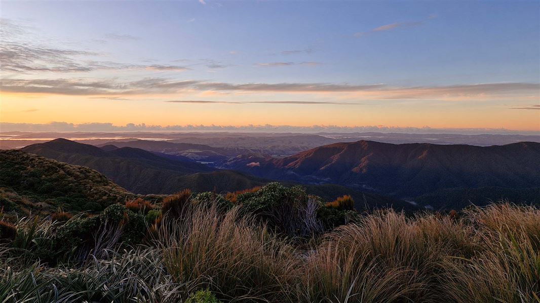
Roaring Stag Hut to Cattle Ridge Track
Advanced • 2 hr • 2.18 km • 2.93 km away
Blue Range to Cow Creek Hut Track
Advanced • 3 hr • 5 km • 3.89 km away
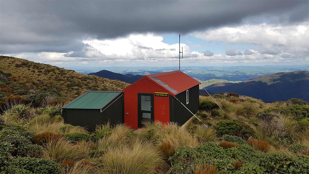
Dundas Circuit
Advanced • 3 days • 4.68 km away
Roaring Stag Track
Advanced • 4 hr • 4.81 km away
Kiriwhakapapa to Blue Range Hut
Advanced • 2-3 hr • 3.36 km • 5.05 km away
Notes from people who have been
No notes yet. If you have been, say what you found.
Something missing or out of date?
Closed, moved, wrong facts, or something we have missed? Travellers keep the Road Guide up to date. Tell us what you found at contribute@parkup.nz and we will check it and add it.
Ask us to take this down
A person reads every request. We do not remove a place until we have checked it.
Sources
- DOC Tracks (API) · CC BY 4.0Crown Copyright: Department of Conservation Te Papa Atawhai. Data sourced from the DOC Developer Portal (api.doc.govt.nz).