Lake Hāwea Track
WalkOtago
- Grade
- Advanced
- Walking time
- 12 hr
- Distance
- 20 km
- Biking time
- 6 - 8 hr
- Dogs
- No dogs
Access: read before you go
This track crosses private land. There is no camping until the conservation area boundary. Respect the landowner's livestock and property: Stay on the marked track until you reach the conservation land Leave gates as you find them Use stiles where provided Keep your distance from livestock.
You need permission from the Makarora River Ranch to take your dog into Hāwea Conservation Park using Boundary Creek Track. Email makaroraranch@gmail.com at least 24 hours in advance of your visit to request permission. You must provide a valid worming certificate to ensure your dog is free from hydatids and sheep measles.
Source: DOC Te Papa Atawhai.
Getting there
We have not checked a road end or car park for this place yet, so we do not give driving directions to it. Check how to get there before you go. Some routes cross private land and need the landowner's permission.
How to get there, on doc.govt.nzFrom Hāwea Township, follow the unsealed Dingleburn Station Road to the public carpark. No vehicle access permitted beyond this point.
From the carpark, walk or cycle the Dingle Burn Peninsula Track to the Turihuka Conservation Area. The Lake Hāwea Track starts on the other side of the Dingle Burn.
The Long Flat Creek swing bridge in the Hunter Valley has been permanently removed.
Source: DOC Te Papa Atawhai.
Map
Map data © OpenStreetMap contributors. Topo map: LINZ, CC BY 4.0. 44.38726° S, 169.41803° E
About this place
This provides access to one of the Hāwea Conservation Park's most beautiful areas, the Hunter Valley.
The route
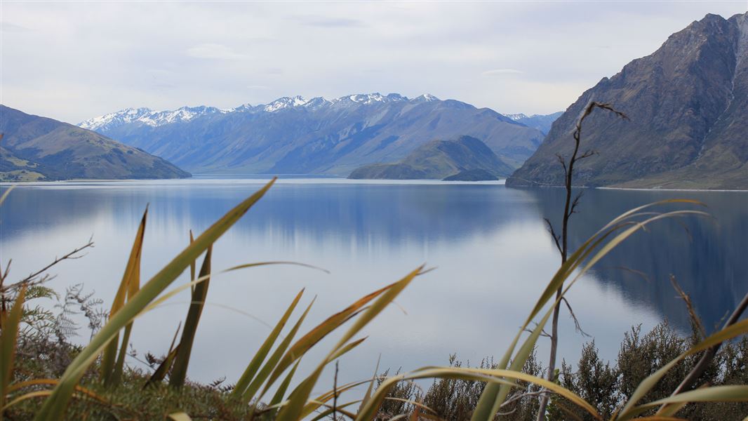
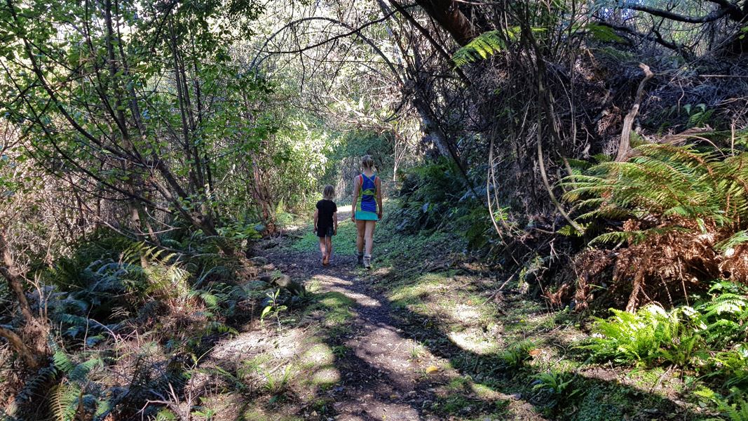
This undulating track leads from the Turihuka Conservation Area and provides excellent lake and mountain views. It fords the Dingle Burn and goes on to the Hunter River/Lake Hāwea confluence. Along the river flats the track weaves in and out of pockets of kānuka and silver/tahina and mountain/tamauka beech forest. The Hunter Valley's open grasslands and braided river system lie beneath the McKerrow, Young and Huxley Ranges. After entering the Hunter Valley follow the extensive valley flats to gain access to gain access to the head of the valley. It is spectacular ride along Lake Hāwea toward the head of the lake. A variety of terrain raises this track category to Advanced.
Source: DOC Te Papa Atawhai.
Know before you go
Bad weather
The weather can change rapidly in New Zealand. Hypothermia is a real risk even in summer. Be prepared by having warm, waterproof, windproof clothing and the appropriate footwear. Whiteout conditions caused by snow or low cloud may be present. Check the Mount Aspiring National Park weather forecast – NIWA website .
Avalanche risk
This area has terrain that can produce avalanches that cross the track, usually from May into November. View avalanche information .
Stay safe when crossing rivers and streams
If you plan to cross unbridged rivers or side streams, know how to cross safely and be prepared for if you cannot cross. Do not cross if the river or stream is flooded, you cannot find safe entry and exit points or are unsure it’s safe. Turn back or wait for the river to drop. If in doubt, stay out. How to cross rivers safely NIWA river flow forecasts: View a video of national followed by regional river flows
Private property and permissions
This track crosses private land. There is no camping until the conservation area boundary. Respect the landowner's livestock and property: Stay on the marked track until you reach the conservation land Leave gates as you find them Use stiles where provided Keep your distance from livestock.
Dogs
You need permission from the Makarora River Ranch to take your dog into Hāwea Conservation Park using Boundary Creek Track. Email makaroraranch@gmail.com at least 24 hours in advance of your visit to request permission. You must provide a valid worming certificate to ensure your dog is free from hydatids and sheep measles.
Source: DOC Te Papa Atawhai.
Nearby stops
Bush Hut
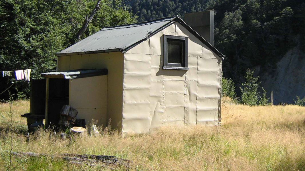
Standard • 6 bunks • Otago • 4.2 km
Bush Hut is a standard six-bunk hut located in the Wanaka/Makarora area of Otago.
Heating • Mattresses • Toilets - non-flush
Cotters Hut
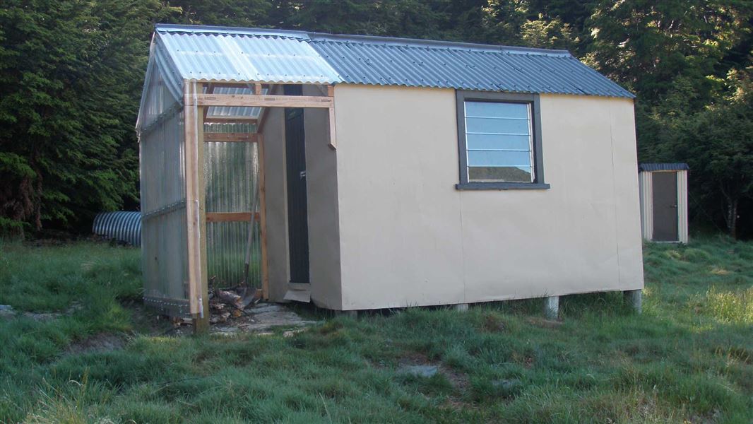
Standard • 2 bunks • Otago • 8.4 km
Cotters Hut is a standard two-bunk hut located in the Wanaka/Makarora area of Otago.
Heating • Mattresses • Toilets - non-flush
High Burn Hut
Otago • 9.7 km
High Burn Hut is a backcountry shelter located in the Otago region of New Zealand. The provided records do not list specific facilities or details for this hut.
Ben Avon Hut (historic)
Otago • 10.7 km
Ben Avon Hut is a historic hut located in the Otago region of New Zealand. It is a former accommodation structure that is no longer maintained as a current…
Top Tīmaru Hut
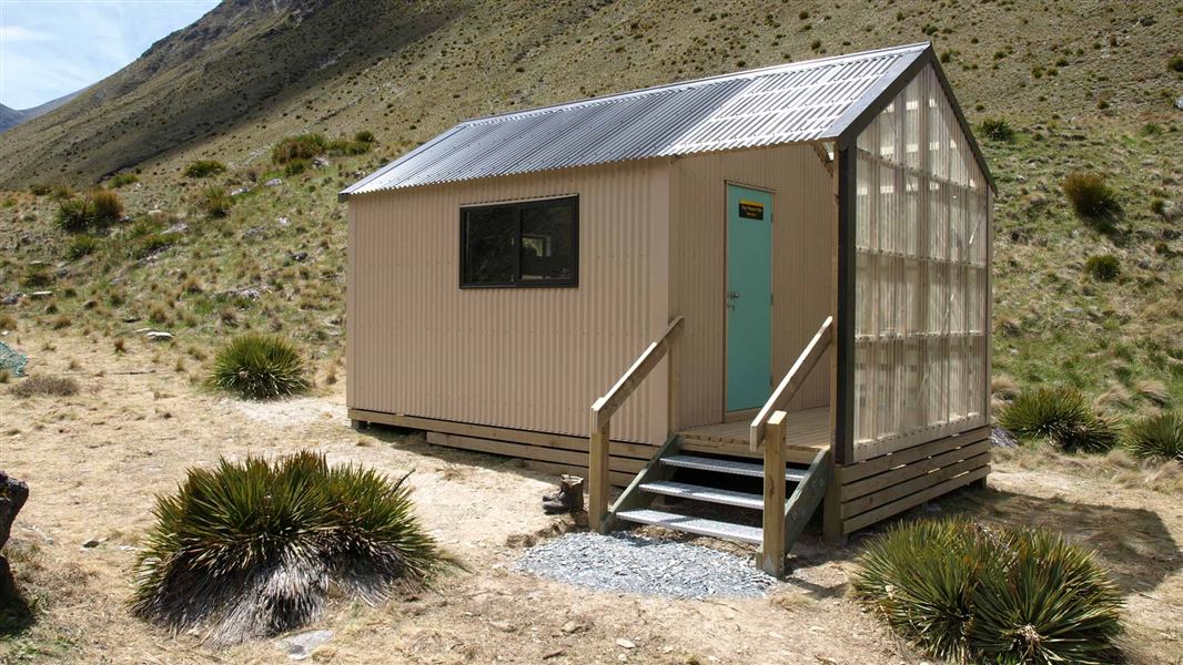
Standard • 6 bunks • Otago • 11.4 km
Top Tīmaru Hut is a standard six-bunk hut located in the Wānaka/Makarora area of Otago.
Mattresses • Toilets - non-flush • Water from stream
Notes from people who have been
No notes yet. If you have been, say what you found.
Something missing or out of date?
Closed, moved, wrong facts, or something we have missed? Travellers keep the Road Guide up to date. Tell us what you found at contribute@parkup.nz and we will check it and add it.
Ask us to take this down
A person reads every request. We do not remove a place until we have checked it.
Sources
- DOC Tracks (API) · CC BY 4.0Crown Copyright: Department of Conservation Te Papa Atawhai. Data sourced from the DOC Developer Portal (api.doc.govt.nz).