Kōkako Track
WalkWest Coast
- Grade
- Easy
- Walking time
- 3 hr
- Distance
- 11 km
- Biking time
- 1 hr return
- Dogs
- DOC permit only
Getting there
We have not checked a road end or car park for this place yet, so we do not give driving directions to it. Check how to get there before you go. Some routes cross private land and need the landowner's permission.
How to get there, on doc.govt.nzThe track starts from the carpark at the end of Tahutahi Road, in Haast Township.
Source: DOC Te Papa Atawhai.
Map
Map data © OpenStreetMap contributors. Topo map: LINZ, CC BY 4.0. 43.87541° S, 169.01977° E
About this place
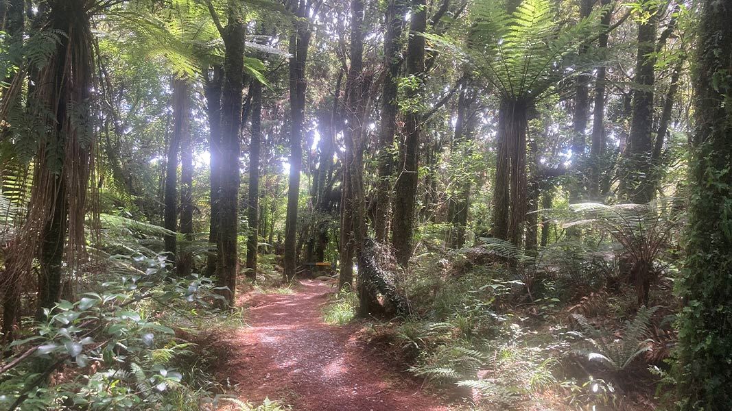
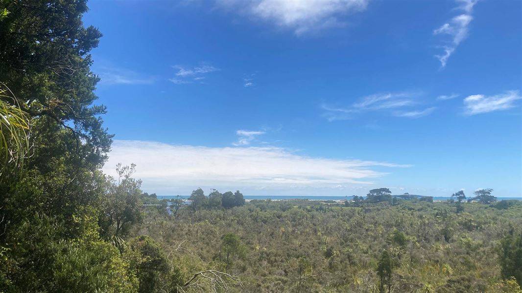
Walk from Haast Township through spectacular native forest down to Haast Beach.
The route
The Kōkako Track starts from Haast Township, making its way through native forest, to a disused logging road, down to Haast Beach. This track is a great spot to hear the birdsong of the tūī and bellbird. The 5.5 km (each way) track can be walked or cycled and is suitable for most people. Dogs are allowed on this track with a permit, which can be issued from the DOC Haast Visitor Centre. This track has been built by a partnership between the Haast community and the Department of Conservation.
Source: DOC Te Papa Atawhai.
Nearby stops
Haast Lodge & Motor Park
West Coast • 2.1 km
Haast River Motels & Holiday Park
West Coast • 2.4 km
Haast River Motels & Holiday Park is a campsite located on the West Coast. It is situated near the Haast River and offers accommodation options for visitors in…
Red Hut
West Coast • 8 km
Red Hut is a backcountry hut located in the West Coast region of New Zealand. It provides basic shelter for tramping and hiking parties in the area.
Haast Beach Holiday Park
West Coast • 10.2 km
Haast Beach Holiday Park is a campsite located on the West Coast of New Zealand. The provided data does not list specific facilities or amenities for this…

Coppermine Creek Hut
Standard • 8 bunks • West Coast • 13.2 km
Coppermine Creek Hut is a standard eight-bunk hut located in the South Westland area of the West Coast region.
Heating • Mattresses • Toilets - non-flush
Notes from people who have been
No notes yet. If you have been, say what you found.
Something missing or out of date?
Closed, moved, wrong facts, or something we have missed? Travellers keep the Road Guide up to date. Tell us what you found at contribute@parkup.nz and we will check it and add it.
Ask us to take this down
A person reads every request. We do not remove a place until we have checked it.
Sources
- DOC Tracks (API) · CC BY 4.0Crown Copyright: Department of Conservation Te Papa Atawhai. Data sourced from the DOC Developer Portal (api.doc.govt.nz).