Keswick Christian Camp
CampsiteBay of Plenty
Map
Map data © OpenStreetMap contributors. Topo map: LINZ, CC BY 4.0. 38.11875° S, 176.30506° E
Got a good photo of this place? Send it to us and we will show it with your name.
We only have the basics for this place so far: its name, its type and where it is.
Been here? Tell us what you found at contribute@parkup.nz and we will add it.
Nearby stops
Holdens Bay Holiday Park & Conference Centre
Bay of Plenty • 0.4 km
Holdens Bay Holiday Park & Conference Centre is a campsite located in the Bay of Plenty region. It is a holiday park that also operates as a conference centre.
Cosy Cottage Holiday Park
Bay of Plenty • 5.4 km
Tasman Rotorua Holiday Parks
Bay of Plenty • 6 km
Tasman Rotorua Holiday Parks is a campsite located in the Bay of Plenty region. The provided data does not list specific facilities or amenities for this site.

Lake Ōkareka Campsite
Standard • Bay of Plenty • 6.8 km
Lake Ōkāreka Campsite is a lakeside campsite in the Bay of Plenty, located 15 minutes from Rotorua. Visitors can swim or fish in the lake.
Non-powered/tent sites • Shelter for cooking • Water from stream
Rotorua Thermal Holiday Park
Bay of Plenty • 7.5 km
Rotorua Thermal Holiday Park is a campsite located in the Bay of Plenty region. No further details are available in the provided records.
Walks nearby

Ōkareka Mistletoe Walk
Easiest • 10 mins • 7.27 km away
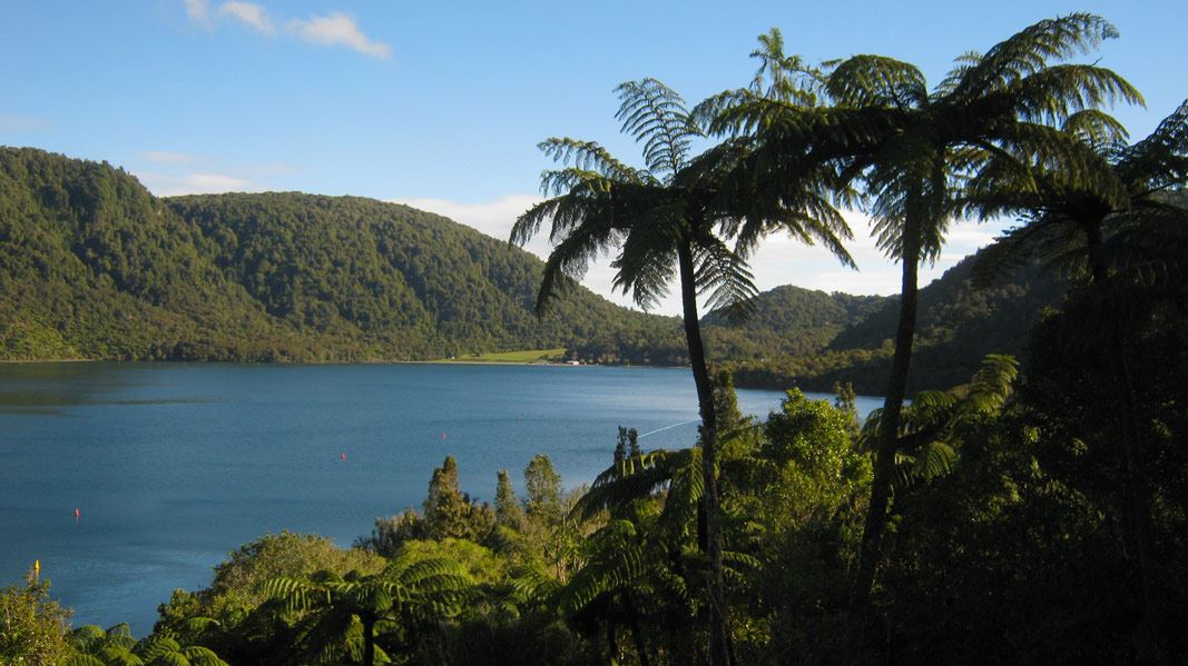
Tikitapu Nature Walk
Easiest • 30 min • 7.47 km away

Blue Lake Track
Easy • 1 hr 30 min • 5.5 km • 8.69 km away
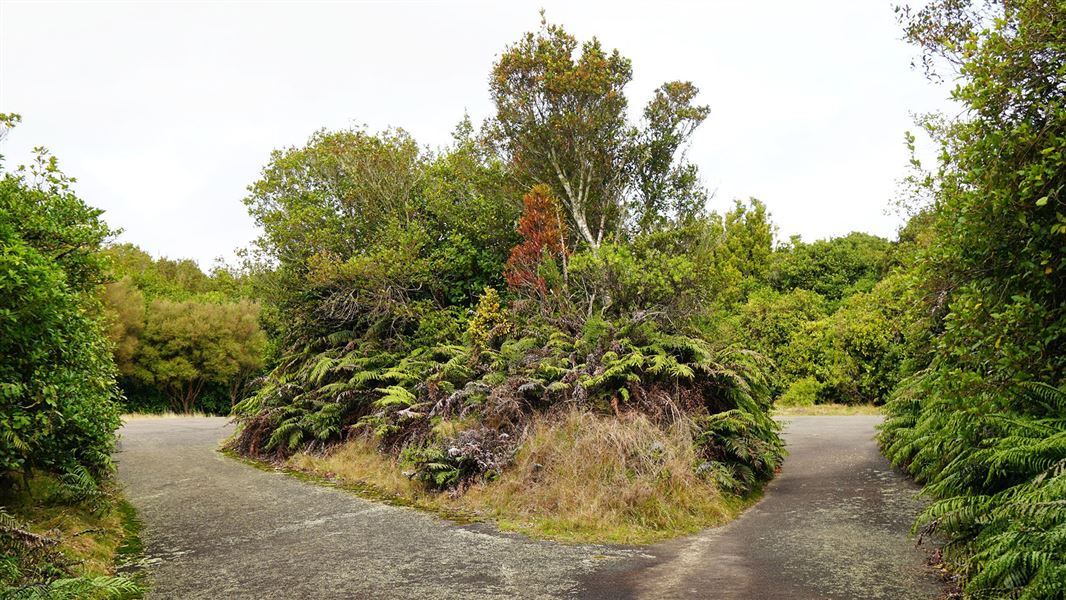
Mt Ngongotaha Jubilee Track
Intermediate • 1 hr 30 min one way • 2.4 km • 10.13 km away
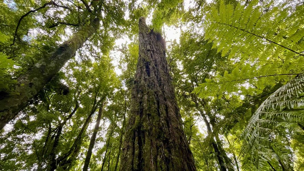
Mt Ngongotaha Nature Loop Track
Easiest • 1 hr • 2.5 km • 10.21 km away
Something missing or out of date?
Closed, moved, wrong facts, or something we have missed? Travellers keep the Road Guide up to date. Tell us what you found at contribute@parkup.nz and we will check it and add it.
Ask us to take this down
A person reads every request. We do not remove a place until we have checked it.
Sources
- OpenStreetMap Campsites · ODbL (Open Database License)Contains information from OpenStreetMap, made available under the ODbL.