Karakariki Track
WalkWaikato
- Grade
- Advanced
- Walking time
- 45 min
- Dogs
- No dogs
Getting there
We have not checked a road end or car park for this place yet, so we do not give driving directions to it. Check how to get there before you go. Some routes cross private land and need the landowner's permission.
How to get there, on doc.govt.nzTurn off the Hamilton/Raglan Highway (SH23) into Karakariki Rd, then turn left into Karakariki Valley Rd to the car park at the road end.
Source: DOC Te Papa Atawhai.
Map
Map data © OpenStreetMap contributors. Topo map: LINZ, CC BY 4.0. 37.77316° S, 175.07965° E
About this place
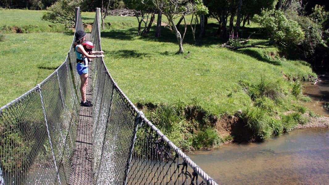
With suspension bridges, a stream, a waterfall and a nice spot for a picnic, this track has plenty to keep kids entertained.
The route
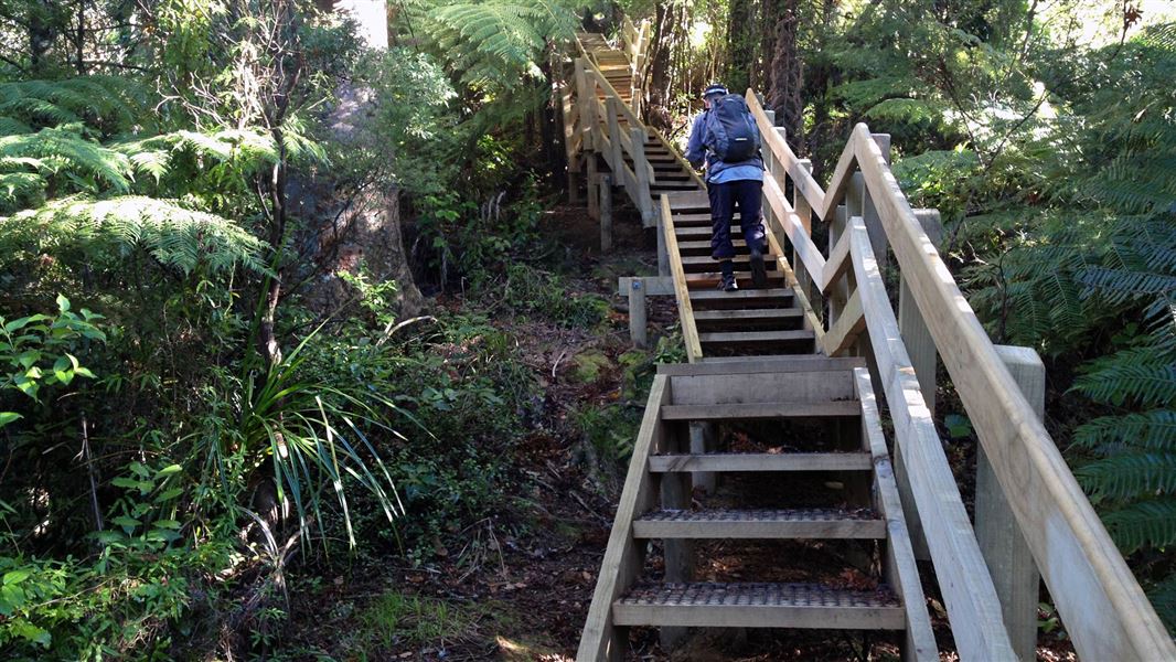
Carpark to waterfall: 20 mins one way Waterfall to fenceline: 45 mins one way The first part of the track starts and ends with suspension bridges. After the first bridge head to the left and follow the stream through a small bush remnant and open grassy areas. After the second bridge it doesn't take long to reach the small waterfall - a good spot for a family picnic and a paddle in the stream (cross the ford on true right of the stream for a nice picnic spot). You can explore upstream beyond the waterfall and look for fossils in the rocks and water. On the true left, beyond the second suspension bridge and five minutes further along the track, you can cross the unbridged stream and follow a steep climb up to a bush-covered ridge. The track ends at the boundary fence - there is no view from this point; do not climb the fence. A good track for children (though be aware it can be muddy, especially in winter), picnicking and looking for fossils in the stream below the waterfall. It is a good track for summer walking.
Source: DOC Te Papa Atawhai.
Nearby stops
Walks nearby
Four Brothers Track
Easy • 15 min • 630 m • 6.08 km away
Karamū Walkway North
Intermediate • 1 hr 30 min • 2.7 km • 7.31 km away
Karamū Walkway South
Intermediate • 4 hr • 8.1 km • 11.15 km away
Waterworks Walk
Easiest • 1 hr return • 1 km • 13.02 km away
Hakarimata Summit Track
Easy • 3 hr • 2 km • 13.05 km away
Notes from people who have been
No notes yet. If you have been, say what you found.
Something missing or out of date?
Closed, moved, wrong facts, or something we have missed? Travellers keep the Road Guide up to date. Tell us what you found at contribute@parkup.nz and we will check it and add it.
Ask us to take this down
A person reads every request. We do not remove a place until we have checked it.
Sources
- OpenStreetMap Trails · ODbL (Open Database License)Contains information from OpenStreetMap, made available under the ODbL.
- DOC Tracks (API) · CC BY 4.0Crown Copyright: Department of Conservation Te Papa Atawhai. Data sourced from the DOC Developer Portal (api.doc.govt.nz).